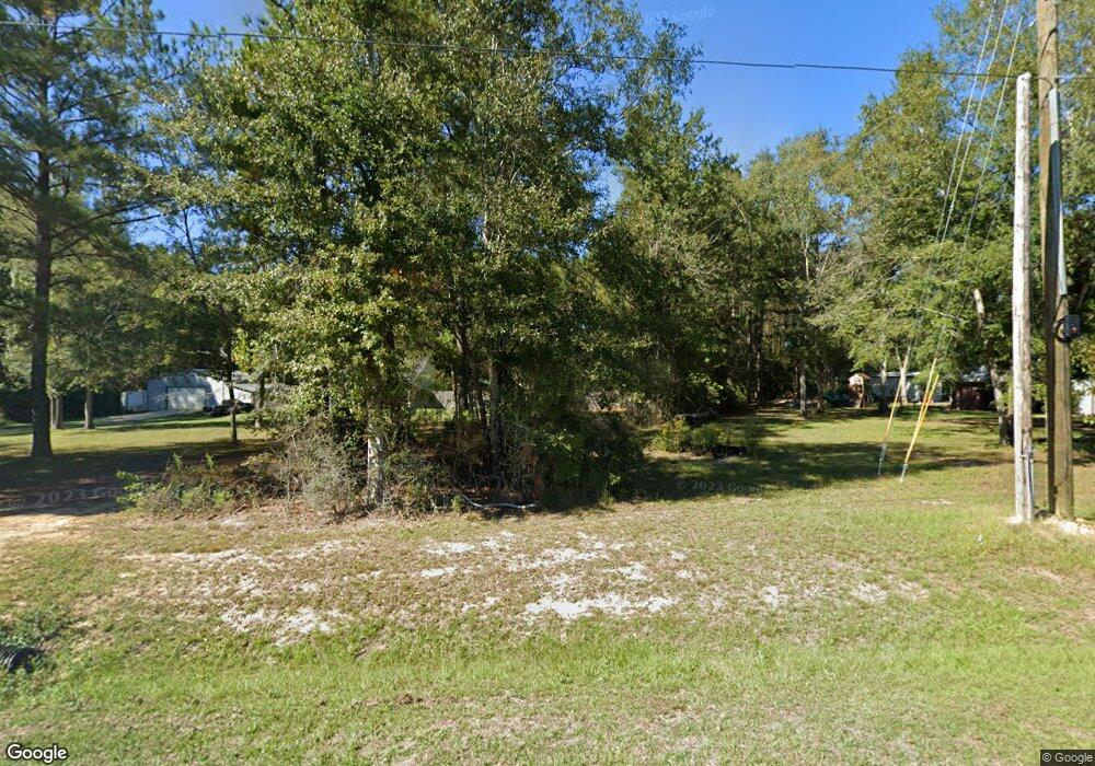
136 Grain Elevator Rd Lucedale, MS 39452
Estimated Value: $134,458 - $196,000
Studio
2
Baths
1,167
Sq Ft
$149/Sq Ft
Est. Value
About This Home
This home is located at 136 Grain Elevator Rd, Lucedale, MS 39452 and is currently estimated at $173,365, approximately $148 per square foot. 136 Grain Elevator Rd is a home located in George County with nearby schools including George County High School.
Ownership History
Date
Name
Owned For
Owner Type
Purchase Details
Closed on
Sep 20, 2012
Sold by
Brannan Byrd Cammie
Bought by
Miller Christina D and Miller Mark D
Current Estimated Value
Purchase Details
Closed on
May 21, 2008
Sold by
Bernardi Deputy Secretary Roy A
Bought by
Miller Mark D and Miller Christina D
Home Financials for this Owner
Home Financials are based on the most recent Mortgage that was taken out on this home.
Original Mortgage
$76,000
Interest Rate
6%
Mortgage Type
Purchase Money Mortgage
Create a Home Valuation Report for This Property
The Home Valuation Report is an in-depth analysis detailing your home's value as well as a comparison with similar homes in the area
Purchase History
| Date | Buyer | Sale Price | Title Company |
|---|---|---|---|
| Miller Christina D | -- | -- | |
| Miller Christina D | -- | -- | |
| Miller Mark D | -- | -- |
Source: Public Records
Mortgage History
| Date | Status | Borrower | Loan Amount |
|---|---|---|---|
| Previous Owner | Miller Mark D | $76,000 |
Source: Public Records
Tax History Compared to Growth
Tax History
| Year | Tax Paid | Tax Assessment Tax Assessment Total Assessment is a certain percentage of the fair market value that is determined by local assessors to be the total taxable value of land and additions on the property. | Land | Improvement |
|---|---|---|---|---|
| 2025 | $636 | $8,723 | $0 | $0 |
| 2024 | $542 | $6,636 | $0 | $0 |
| 2023 | $541 | $6,636 | $0 | $0 |
| 2022 | $541 | $6,638 | $0 | $0 |
| 2021 | $541 | $6,638 | $0 | $0 |
| 2019 | $539 | $6,618 | $0 | $0 |
| 2018 | $539 | $6,618 | $0 | $0 |
| 2015 | -- | $7,209 | $0 | $0 |
| 2014 | -- | $7,207 | $0 | $0 |
Source: Public Records
Map
Nearby Homes
- 1 Acre Oakhaven Dr
- 0 Salem Campground
- 10 Ac Ellis Hodge Rd
- 210 Lee Anderson Rd
- Parcel 2 Shannon Ln
- 2221 Highway 63 S
- 134 Short Leaf
- 140 Lonnie Street Rd
- 0 Highway 63 S
- 114 Holly Ln
- 115 Hickory Ln
- Nhn Maple Dr
- 152 Mayhall Dr
- 0 10 35 Ac Barton Agricola Rd
- 153 Ida Miller Rd
- 2162 Barton-Agricola Rd
- 0 Big Cedar Creek Rd
- 0 Turps Dr
- 0 Ccc Rd
- 25112 Turps Dr
- 107 Percy Parker Rd
- 132 Grain Elevator Rd
- 113 Percy Parker Rd
- 110 Percy Parker Rd
- 131 Grain Elevator Rd
- 155 Grain Elevator Rd Unit 1
- 155 Grain Elevator Rd
- 155A Grain Elevator Rd
- 0 Grain Elevator Rd
- 104 River Rd
- 172 Grain Elevator Rd
- 2240 Salem Campground Rd
- 2126 Salem Campground Rd
- 150 River Rd
- 196 Grain Elevator Rd
- 137 River Rd
- 125 River Rd
- 205 Grain Elevator Rd
- 139 River Rd
- 130 Horse Ranch Rd
