136 Laurel Haven Rd Fairview, NC 28730
Estimated Value: $384,815 - $521,000
3
Beds
2
Baths
1,138
Sq Ft
$397/Sq Ft
Est. Value
About This Home
This home is located at 136 Laurel Haven Rd, Fairview, NC 28730 and is currently estimated at $451,454, approximately $396 per square foot. 136 Laurel Haven Rd is a home located in Buncombe County with nearby schools including A.C. Reynolds High School, Fairview Elementary School, and Cane Creek Middle.
Ownership History
Date
Name
Owned For
Owner Type
Purchase Details
Closed on
Jun 26, 1998
Sold by
Simon Joyce M and Simon Noelle Christine
Bought by
Wood Barry Ronald
Current Estimated Value
Home Financials for this Owner
Home Financials are based on the most recent Mortgage that was taken out on this home.
Original Mortgage
$100,800
Outstanding Balance
$21,005
Interest Rate
7.21%
Mortgage Type
Unknown
Estimated Equity
$430,449
Purchase Details
Closed on
Apr 1, 1997
Sold by
Simon Joyce M
Bought by
Simon and Brewer
Create a Home Valuation Report for This Property
The Home Valuation Report is an in-depth analysis detailing your home's value as well as a comparison with similar homes in the area
Home Values in the Area
Average Home Value in this Area
Purchase History
| Date | Buyer | Sale Price | Title Company |
|---|---|---|---|
| Wood Barry Ronald | $126,000 | -- | |
| Simon | -- | -- |
Source: Public Records
Mortgage History
| Date | Status | Borrower | Loan Amount |
|---|---|---|---|
| Open | Wood Barry Ronald | $100,800 |
Source: Public Records
Tax History
| Year | Tax Paid | Tax Assessment Tax Assessment Total Assessment is a certain percentage of the fair market value that is determined by local assessors to be the total taxable value of land and additions on the property. | Land | Improvement |
|---|---|---|---|---|
| 2025 | $1,703 | $251,400 | $44,900 | $206,500 |
| 2024 | $1,703 | $251,400 | $44,900 | $206,500 |
| 2023 | $1,703 | $251,400 | $44,900 | $206,500 |
| 2022 | $1,591 | $251,400 | $0 | $0 |
| 2021 | $1,591 | $251,400 | $0 | $0 |
| 2020 | $1,305 | $193,600 | $0 | $0 |
| 2019 | $1,305 | $193,600 | $0 | $0 |
| 2018 | $1,247 | $193,600 | $0 | $0 |
| 2017 | $1,247 | $158,800 | $0 | $0 |
| 2016 | $1,126 | $158,800 | $0 | $0 |
| 2015 | $1,126 | $158,800 | $0 | $0 |
| 2014 | $1,126 | $158,800 | $0 | $0 |
Source: Public Records
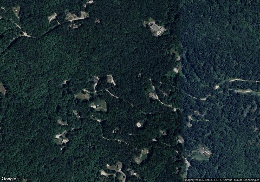
Map
Nearby Homes
- 19 Laurel Loop Rd SE
- 55 Heavenly Ln
- 116 Vehorn Rd
- 26 Pineview Rd
- 54 Weldon Way
- 38 Gollum Dr
- 36 Enterprise Dr
- 66 Enterprise Dr Unit 66
- 90 Indian Mound Trail
- 48 Buck Ridge Rd
- 233 Church Rd
- 25 Ted Linn Dr
- 6 Grouse Terrace
- 163 Annabelle Linn Dr
- 67 Flat Top Mountain Rd
- 10 Bear Trail
- 29 Honey Hollow Ln
- 310 Log Gap Rd
- 14 Sunny Hollow Ln
- 5 Becky Ln
- 154 Laurel Haven Rd
- 135 Laurel Haven Rd
- 148 Laurel Haven Rd
- 126 Laurel Haven Rd
- 139 Laurel Haven Rd
- 151 Laurel Haven Rd
- 128 Laurel Loop
- 95 Laurel Haven Rd
- 85 Laurel Haven Rd
- 124 Laurel Haven Rd
- 81 Laurel Haven Rd
- LOT 16 Laurel Haven Rd Unit 16
- Lot 14 Laurel Haven Rd
- 119 Laurel Haven Rd
- 119 Laurel Haven Rd
- TBD Laurel Haven Rd Unit 16
- 75 Laurel Haven Rd
- 172 Laurel Haven Rd
- 129 Laurel Loop
- 7 Vagabond Trail
Your Personal Tour Guide
Ask me questions while you tour the home.