136 Lick Log Ln Mount Airy, GA 30563
Estimated Value: $246,000 - $423,619
2
Beds
1
Bath
1,232
Sq Ft
$260/Sq Ft
Est. Value
About This Home
This home is located at 136 Lick Log Ln, Mount Airy, GA 30563 and is currently estimated at $319,905, approximately $259 per square foot. 136 Lick Log Ln is a home located in Habersham County with nearby schools including Cornelia Elementary School, Habersham Success Academy, and Wilbanks Middle School.
Ownership History
Date
Name
Owned For
Owner Type
Purchase Details
Closed on
May 22, 2025
Sold by
Poole Vera W
Bought by
Mote Lola
Current Estimated Value
Purchase Details
Closed on
Jul 28, 2010
Sold by
Poole Vera W
Bought by
Cochran Holly
Purchase Details
Closed on
Aug 13, 2008
Sold by
Barrett Melannie
Bought by
Barrett Melannie and Barrett Jeremy
Create a Home Valuation Report for This Property
The Home Valuation Report is an in-depth analysis detailing your home's value as well as a comparison with similar homes in the area
Home Values in the Area
Average Home Value in this Area
Purchase History
| Date | Buyer | Sale Price | Title Company |
|---|---|---|---|
| Mote Lola | -- | -- | |
| Cochran Holly | -- | -- | |
| Barrett Melannie | -- | -- |
Source: Public Records
Tax History Compared to Growth
Tax History
| Year | Tax Paid | Tax Assessment Tax Assessment Total Assessment is a certain percentage of the fair market value that is determined by local assessors to be the total taxable value of land and additions on the property. | Land | Improvement |
|---|---|---|---|---|
| 2025 | $640 | $165,412 | $129,377 | $36,035 |
| 2024 | -- | $68,280 | $46,512 | $21,768 |
| 2023 | $39 | $64,692 | $46,512 | $18,180 |
| 2022 | $225 | $64,080 | $48,336 | $15,744 |
| 2021 | $205 | $58,476 | $44,308 | $14,168 |
| 2020 | $201 | $56,588 | $44,308 | $12,280 |
| 2019 | $198 | $56,588 | $44,308 | $12,280 |
| 2018 | $194 | $56,588 | $44,308 | $12,280 |
| 2017 | $170 | $55,784 | $44,308 | $11,476 |
| 2016 | $145 | $56,290 | $44,308 | $11,476 |
| 2015 | $138 | $55,710 | $44,308 | $11,476 |
| 2014 | $137 | $55,060 | $44,308 | $11,436 |
| 2013 | -- | $54,072 | $42,636 | $11,436 |
Source: Public Records
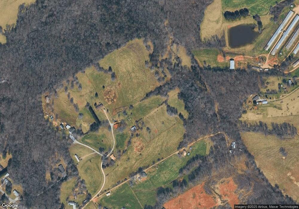
Map
Nearby Homes
- 0 Blair Rd Unit 10343806
- 221 Mcallister Rd
- 16.8AC Camp Creek Rd
- 280 Lawrence St
- 1576 Chase Rd
- 238 Ivy Hills Cir
- 161 Wayward Winds Dr
- 473 Linwood Dr
- 820 Camp Creek Rd
- 357 Sundew Ln
- 133 Hillandale St
- 240 Sugar Maple Dr
- 203 Russell Woods Dr
- 600 Elrod St
- 432 Nancy Town Rd
- 530 Grandview Ave
- 2894 Chase Rd
- 0 Chase Rd Unit 10658099
- 0 Furniture Dr Unit 7545752
- 0 Furniture Dr Unit 10484163
- 251 Lick Log Ln
- 196 Kin Folk Ln
- 131 Lick Log Ln
- 176 Kin Folk Ln
- 102 Kin Folk Ln
- 135 Lick Log Ln
- 1009 Demorest Mount Airy Hwy
- 1012 Demorest Mount Airy Hwy
- 899 Demorest Mount Airy Hwy
- 139 Lick Log Ln
- 723 Demorest Mount Airy Hwy
- 645 Demorest Mount Airy Hwy
- 1015 Demorest Mount Airy Hwy
- 1101 Demorest Mount Airy Hwy
- 659 Demorest Mount Airy Hwy
- 1121 Demorest Mount Airy Hwy
- 627 Demorest Mount Airy Hwy
- 252 Kin Folk Ln
- 1207 Demorest Mount Airy Hwy
- 1082 Demorest Mt Airy Hwy