136 Main St Powhatan Point, OH 43942
Estimated Value: $108,000 - $137,000
3
Beds
1
Bath
1,800
Sq Ft
$71/Sq Ft
Est. Value
About This Home
This home is located at 136 Main St, Powhatan Point, OH 43942 and is currently estimated at $127,217, approximately $70 per square foot. 136 Main St is a home located in Belmont County with nearby schools including Powhatan Elementary School and Beallsville High School.
Ownership History
Date
Name
Owned For
Owner Type
Purchase Details
Closed on
Jan 19, 2021
Sold by
Estate Of Michael R Smith
Bought by
Sloan Richard E
Current Estimated Value
Purchase Details
Closed on
May 30, 2017
Sold by
Hughes Hubert Edward and Mullett Gene W
Bought by
Smith Michael R
Purchase Details
Closed on
Jun 22, 1995
Sold by
Mullett Gene W
Bought by
Mullett Gene W
Purchase Details
Closed on
Jun 14, 1995
Bought by
Mullett Gene W Etal 2
Purchase Details
Closed on
Jan 1, 1986
Sold by
Malovitz Genevieve
Bought by
Malovitz Genevieve
Create a Home Valuation Report for This Property
The Home Valuation Report is an in-depth analysis detailing your home's value as well as a comparison with similar homes in the area
Purchase History
| Date | Buyer | Sale Price | Title Company |
|---|---|---|---|
| Sloan Richard E | -- | None Available | |
| Smith Michael R | $49,000 | Attorney | |
| Mullett Gene W | -- | -- | |
| Mullett Gene W Etal 2 | $7,000 | -- | |
| Malovitz Genevieve | -- | -- |
Source: Public Records
Tax History
| Year | Tax Paid | Tax Assessment Tax Assessment Total Assessment is a certain percentage of the fair market value that is determined by local assessors to be the total taxable value of land and additions on the property. | Land | Improvement |
|---|---|---|---|---|
| 2025 | $1,470 | $42,700 | $3,760 | $38,940 |
| 2023 | $1,144 | $29,700 | $3,120 | $26,580 |
| 2022 | $1,143 | $29,697 | $3,118 | $26,579 |
| 2021 | $1,139 | $29,697 | $3,118 | $26,579 |
| 2020 | $1,048 | $25,820 | $2,710 | $23,110 |
| 2019 | $1,104 | $25,820 | $2,710 | $23,110 |
| 2018 | $1,071 | $25,820 | $2,710 | $23,110 |
| 2017 | $1,250 | $29,020 | $2,350 | $26,670 |
| 2016 | $1,185 | $29,020 | $2,350 | $26,670 |
| 2015 | $1,213 | $29,020 | $2,350 | $26,670 |
| 2014 | $1,050 | $26,380 | $2,140 | $24,240 |
| 2013 | $1,065 | $26,380 | $2,140 | $24,240 |
Source: Public Records
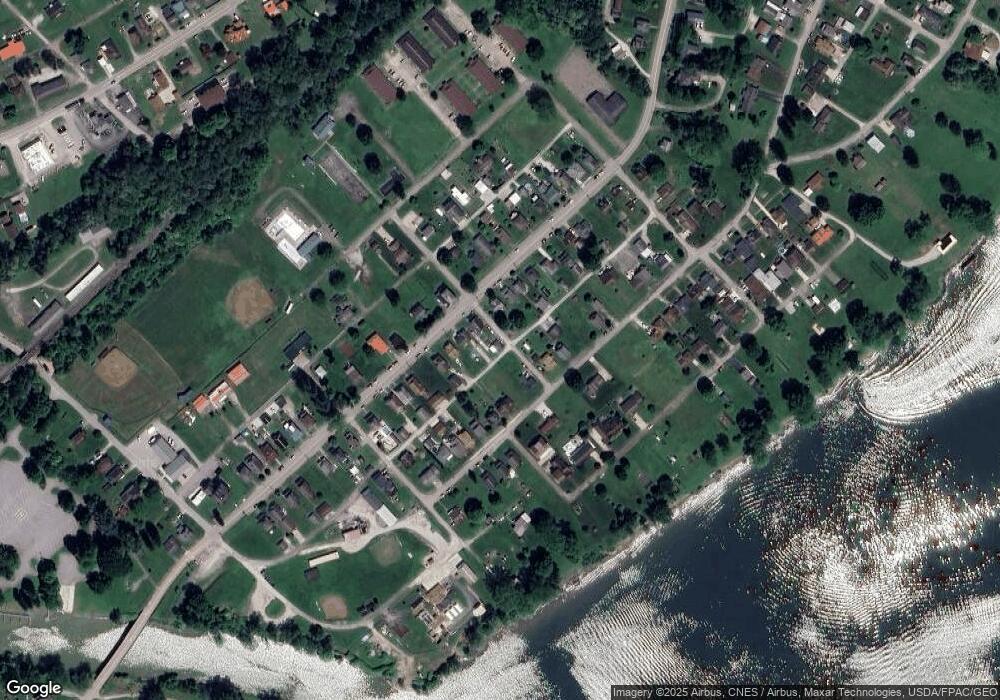
Map
Nearby Homes
- 0 Clark St
- 278 Highway 7 N
- 121 1st St
- 110 Cove Dr
- 54885 Mount Victory Rd
- 54360 Mount Victory Rd
- 252 Kansas Ridge Ln
- 1506 Lindsay Lane Rd
- 53 Blue Jay Ln
- 2 Roberts Ridge Saint Joseph Rd
- 49 Lavender Ln
- 102 Virginia Oaks Dr
- 85 Virginia Oaks Dr
- 4796 Big Grave Creek Rd
- 12 Tiffany Ln
- 0 Sr 148 & T 506 Unit 5187020
- 82 Canterbury Ln
- 911 12th St
- 803 Lockwood Ave & 8th St
- 309 8th St
Your Personal Tour Guide
Ask me questions while you tour the home.