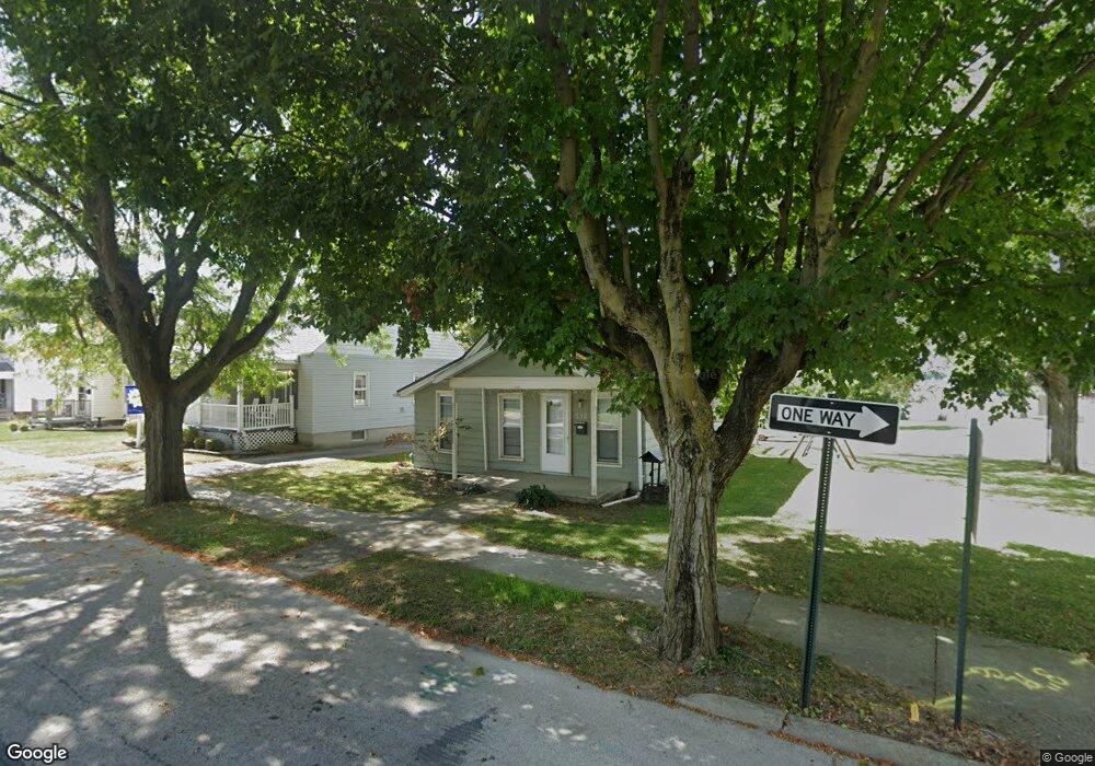
136 N Hazel St Upper Sandusky, OH 43351
Estimated Value: $103,791 - $136,000
2
Beds
1
Bath
792
Sq Ft
$152/Sq Ft
Est. Value
About This Home
This home is located at 136 N Hazel St, Upper Sandusky, OH 43351 and is currently estimated at $120,448, approximately $152 per square foot. 136 N Hazel St is a home located in Wyandot County with nearby schools including Upper Sandusky High School and St. Peter Elementary School.
Ownership History
Date
Name
Owned For
Owner Type
Purchase Details
Closed on
Aug 22, 2013
Sold by
Kummerer Brian T and Kummerer Michelle R
Bought by
Orr Roxanne
Current Estimated Value
Home Financials for this Owner
Home Financials are based on the most recent Mortgage that was taken out on this home.
Original Mortgage
$56,653
Outstanding Balance
$41,855
Interest Rate
4.38%
Estimated Equity
$78,593
Purchase Details
Closed on
Sep 29, 2005
Sold by
Nachbar Robert G and Saxton Marilyn J
Bought by
Redd Michelle R
Home Financials for this Owner
Home Financials are based on the most recent Mortgage that was taken out on this home.
Original Mortgage
$57,500
Interest Rate
5.83%
Create a Home Valuation Report for This Property
The Home Valuation Report is an in-depth analysis detailing your home's value as well as a comparison with similar homes in the area
Home Values in the Area
Average Home Value in this Area
Purchase History
| Date | Buyer | Sale Price | Title Company |
|---|---|---|---|
| Orr Roxanne | $55,525 | None Available | |
| Redd Michelle R | $57,500 | None Available |
Source: Public Records
Mortgage History
| Date | Status | Borrower | Loan Amount |
|---|---|---|---|
| Open | Orr Roxanne | $56,653 | |
| Previous Owner | Redd Michelle R | $57,500 |
Source: Public Records
Tax History
| Year | Tax Paid | Tax Assessment Tax Assessment Total Assessment is a certain percentage of the fair market value that is determined by local assessors to be the total taxable value of land and additions on the property. | Land | Improvement |
|---|---|---|---|---|
| 2025 | $721 | $23,970 | $4,610 | $19,360 |
| 2024 | $609 | $19,140 | $3,740 | $15,400 |
| 2023 | $609 | $19,140 | $3,740 | $15,400 |
| 2022 | $609 | $16,680 | $3,400 | $13,280 |
| 2021 | $556 | $16,680 | $3,400 | $13,280 |
| 2020 | $556 | $16,680 | $3,400 | $13,280 |
| 2019 | $555 | $16,680 | $3,400 | $13,280 |
| 2018 | $433 | $13,270 | $2,840 | $10,430 |
| 2017 | $440 | $13,270 | $2,840 | $10,430 |
| 2016 | -- | $13,270 | $2,840 | $10,430 |
| 2015 | -- | $12,270 | $2,840 | $9,430 |
| 2014 | -- | $12,270 | $2,840 | $9,430 |
| 2013 | -- | $12,270 | $2,840 | $9,430 |
Source: Public Records
Map
Nearby Homes
- 212 N Hazel St
- 386 W Finley St
- 137 N 8th St
- 225 S Hazel St
- 0 Ohio 53
- 326 S 8th St
- 116 E Walker St
- 445 N Sandusky Ave
- 333 N 5th St
- 387 S Warpole St
- 314 N 4th St
- 334 N 4th St
- 430 S Sandusky Ave
- 479 N 5th St
- 9768 County Highway 111
- 605 Polaris Dr
- 432 E Bigelow St
- 379 W Spring St
- 479 Front St
- 105 Old Lincoln Hwy
- 130 N Hazel St
- 124 N Hazel St
- 399 W Walker St
- 419 W Walker St
- 120 N Hazel St
- 389 W Walker St
- 131 N Hazel St
- 208 N Hazel St
- 620 W Walker St
- 127 N Hazel St
- 381 W Walker St
- 116 N Hazel St
- 425 W Walker St
- 123 N Hazel St
- 377 W Walker St
- 117 N Hazel St
- 412 W Wyandot Ave
- 373 W Walker St
- 406 W Wyandot Ave
- 416 W Wyandot Ave
Your Personal Tour Guide
Ask me questions while you tour the home.