136 Old Fort Rd La Pointe, WI 54850
Estimated Value: $355,000 - $619,000
--
Bed
--
Bath
--
Sq Ft
6.84
Acres
About This Home
This home is located at 136 Old Fort Rd, La Pointe, WI 54850 and is currently estimated at $456,724. 136 Old Fort Rd is a home with nearby schools including Bayfield High School.
Ownership History
Date
Name
Owned For
Owner Type
Purchase Details
Closed on
Jul 29, 2016
Sold by
South Shore Farm Llc
Bought by
Richter Peter J and Richter Sara C
Current Estimated Value
Purchase Details
Closed on
Jul 23, 2013
Sold by
Bristol Thedore W and Bristol Robert H
Bought by
South Shore Farm House Llc
Purchase Details
Closed on
Dec 27, 2012
Sold by
Bristol Edith Wells and Bristol Brian T
Bought by
Bristol Theodore W and Bristol Robert H
Purchase Details
Closed on
Jan 2, 2012
Sold by
Bristol Edith Wells
Bought by
Bristol Theodore W and Bristol Robert H
Create a Home Valuation Report for This Property
The Home Valuation Report is an in-depth analysis detailing your home's value as well as a comparison with similar homes in the area
Home Values in the Area
Average Home Value in this Area
Purchase History
| Date | Buyer | Sale Price | Title Company |
|---|---|---|---|
| Richter Peter J | $240,000 | Midwest Title Group | |
| South Shore Farm House Llc | -- | None Available | |
| Bristol Theodore W | -- | None Available | |
| Bristol Theodore W | -- | None Available | |
| Bristol Theodore W | -- | None Available |
Source: Public Records
Tax History Compared to Growth
Tax History
| Year | Tax Paid | Tax Assessment Tax Assessment Total Assessment is a certain percentage of the fair market value that is determined by local assessors to be the total taxable value of land and additions on the property. | Land | Improvement |
|---|---|---|---|---|
| 2024 | $6,895 | $334,900 | $64,600 | $270,300 |
| 2023 | $5,905 | $234,100 | $95,800 | $138,300 |
| 2022 | $5,467 | $234,100 | $95,800 | $138,300 |
| 2021 | $5,446 | $234,100 | $95,800 | $138,300 |
| 2020 | $5,298 | $234,100 | $95,800 | $138,300 |
| 2019 | $5,023 | $234,100 | $95,800 | $138,300 |
| 2018 | $4,723 | $234,100 | $95,800 | $138,300 |
| 2017 | $4,808 | $243,100 | $95,800 | $147,300 |
| 2016 | $5,467 | $275,400 | $95,800 | $179,600 |
| 2015 | $6,150 | $292,400 | $108,700 | $183,700 |
| 2014 | $5,514 | $304,500 | $120,800 | $183,700 |
| 2013 | $5,718 | $304,500 | $120,800 | $183,700 |
Source: Public Records
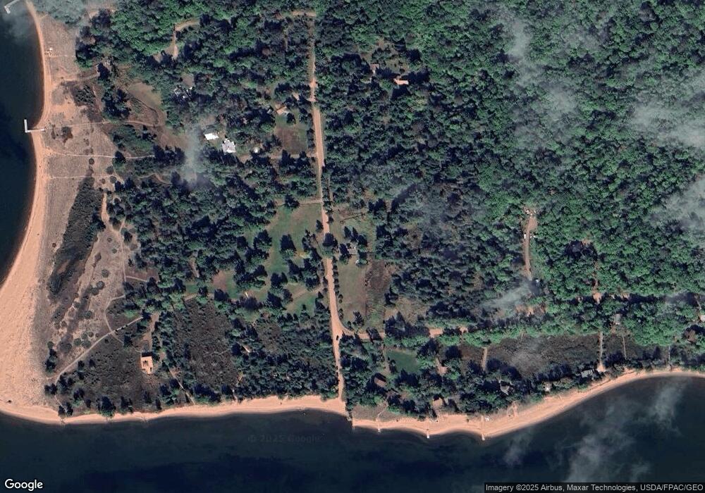
Map
Nearby Homes
- 365 Mondamin Tr
- 436 Bojo Ln
- 657 Spruce Ln
- Lot 2, Block 2 Raspberry Trail
- 438 Minnewawa Rd
- 434 Minnewawa Rd
- Lot 3, Block 1 Raspberry Trail
- Lot 6, Block 1 Raspberry Trail
- Lot 5 Raspberry Trail
- Lot 1, Block 2 Raspberry Trail
- Lot 1, Block 1 Raspberry Trail
- 869 S Shore Rd
- 933 Nebraska Row Unit 916 Whitefish Street
- 804 Middle Rd
- 873 Middle Rd Unit 871 Middle Rd
- 1161 Middle Rd
- 84195 State Highway 13
- Lots 1-5 Wilson Ave
- 11XXX Old Military Rd
- 215 S 9th St
- 153 Old Fort Rd
- 347 Capser Rd
- 181 Old Fort Rd
- 165 Old Fort Rd
- 375 Capser Rd
- 186 Old Fort Rd
- 361 Capser Rd
- 400 Capser Rd
- 402 Capser Rd
- 187 Old Fort Rd
- 131 Old Fort Rd
- 415 Capser Rd
- 420 Capser Rd
- 209 Old Fort Rd
- 189 Old Fort Rd
- 417 Capser Rd
- 223 Old Fort Rd
- 160 Equaysayway Ln
- 448 Capser Rd
- 174 Equaysayway Ln