136 Old Range Rd Sanbornton, NH 03269
Sanbornton NeighborhoodEstimated Value: $1,017,000 - $1,469,000
3
Beds
3
Baths
6,392
Sq Ft
$191/Sq Ft
Est. Value
About This Home
This home is located at 136 Old Range Rd, Sanbornton, NH 03269 and is currently estimated at $1,222,787, approximately $191 per square foot. 136 Old Range Rd is a home with nearby schools including Sanbornton Central School, Winnisquam Regional Middle School, and Winnisquam Regional High School.
Ownership History
Date
Name
Owned For
Owner Type
Purchase Details
Closed on
Dec 30, 1988
Bought by
Judd Mark and Judd Tracy
Current Estimated Value
Create a Home Valuation Report for This Property
The Home Valuation Report is an in-depth analysis detailing your home's value as well as a comparison with similar homes in the area
Home Values in the Area
Average Home Value in this Area
Purchase History
| Date | Buyer | Sale Price | Title Company |
|---|---|---|---|
| Judd Mark | -- | -- |
Source: Public Records
Mortgage History
| Date | Status | Borrower | Loan Amount |
|---|---|---|---|
| Open | Judd Mark | $464,980 | |
| Closed | Judd Mark | $100,000 | |
| Closed | Judd Mark | $11,000 |
Source: Public Records
Tax History Compared to Growth
Tax History
| Year | Tax Paid | Tax Assessment Tax Assessment Total Assessment is a certain percentage of the fair market value that is determined by local assessors to be the total taxable value of land and additions on the property. | Land | Improvement |
|---|---|---|---|---|
| 2024 | $12,654 | $987,800 | $196,200 | $791,600 |
| 2023 | $11,893 | $987,800 | $196,200 | $791,600 |
| 2022 | $12,087 | $608,300 | $127,800 | $480,500 |
| 2021 | $11,181 | $608,300 | $127,800 | $480,500 |
| 2020 | $12,275 | $608,300 | $127,800 | $480,500 |
| 2019 | $11,692 | $608,300 | $127,800 | $480,500 |
| 2018 | $11,752 | $608,300 | $127,800 | $480,500 |
| 2017 | $12,687 | $536,900 | $135,500 | $401,400 |
| 2016 | $12,687 | $536,900 | $135,500 | $401,400 |
| 2015 | $12,891 | $536,900 | $135,500 | $401,400 |
| 2014 | $12,333 | $536,900 | $135,500 | $401,400 |
| 2013 | $10,842 | $472,000 | $135,500 | $336,500 |
Source: Public Records
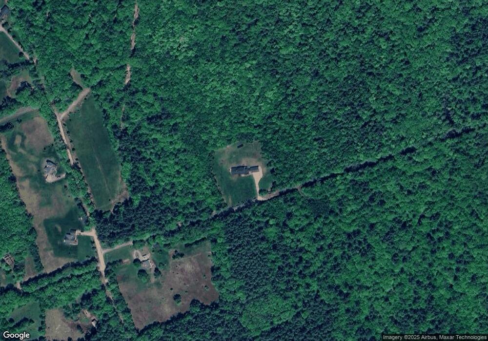
Map
Nearby Homes
- 0 Perley Hill Rd Unit 85
- 724 Sanborn Rd
- 0 Gulf Rd Unit 33 5061892
- 0 Mountain Rd Unit 5064513
- 314 Stage Rd
- 100 Cram Rd
- 7 Simmons Ct
- 118 Upper Bay Rd
- 104 New Hampton Rd
- 9 Aspen Rd
- 42 Hermit Lake Rd
- 92 Leavitt Rd
- R02-13 Calef Hill Rd
- 00 Patriot Ln Unit 1
- 21 Mountain View Dr
- 12 Foothills Way
- 251 Hill Rd
- 0 Ashuelot Dr Unit 47
- 44 Noyes Rd
- 225 Kendall St
- 890 Sanborn Rd
- 898 Sanborn Rd
- Lot 15-94- Sanborn
- 815 Sanborn Rd
- 873 Sanborn Rd
- 786 Sanborn Rd
- 55 Perley Hill Rd
- 95 Perley Hill Rd
- 904 Sanborn Rd
- 1133 New Hampton Rd
- 33 Perley Hill Rd
- 914 Sanborn Rd
- 897 Sanborn Rd
- 21 Perley Hill Rd
- 104 Perley Hill Rd
- 785 Sanborn Rd
- 34 Perley Hill Rd
- 94 Perley Hill Rd
- 9 Perley Hill Rd
- 889 Sanborn Rd