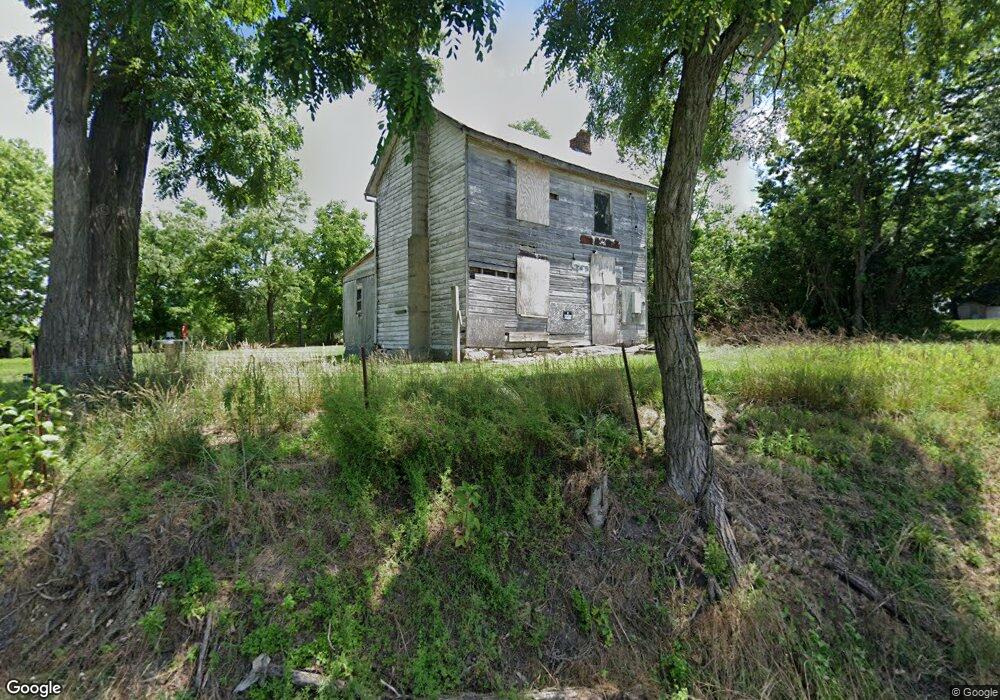
136 Sir Johns Rd Clear Brook, VA 22624
Estimated Value: $133,000 - $1,101,000
Studio
--
Bath
--
Sq Ft
20,473
Sq Ft Lot
About This Home
This home is located at 136 Sir Johns Rd, Clear Brook, VA 22624 and is currently estimated at $512,667. 136 Sir Johns Rd is a home located in Frederick County with nearby schools including Stonewall Elementary School, James Wood Middle School, and James Wood High School.
Ownership History
Date
Name
Owned For
Owner Type
Purchase Details
Closed on
Apr 15, 2019
Sold by
Rutherford Linda F
Bought by
Gardner Charles M
Current Estimated Value
Purchase Details
Closed on
Feb 23, 2000
Sold by
Purcell Richard C
Bought by
Rutherford Charles M
Home Financials for this Owner
Home Financials are based on the most recent Mortgage that was taken out on this home.
Original Mortgage
$20,000
Interest Rate
8.15%
Create a Home Valuation Report for This Property
The Home Valuation Report is an in-depth analysis detailing your home's value as well as a comparison with similar homes in the area
Home Values in the Area
Average Home Value in this Area
Purchase History
| Date | Buyer | Sale Price | Title Company |
|---|---|---|---|
| Gardner Charles M | $18,000 | Attorney | |
| Rutherford Charles M | $22,000 | -- |
Source: Public Records
Mortgage History
| Date | Status | Borrower | Loan Amount |
|---|---|---|---|
| Previous Owner | Rutherford Charles M | $20,000 |
Source: Public Records
Tax History
| Year | Tax Paid | Tax Assessment Tax Assessment Total Assessment is a certain percentage of the fair market value that is determined by local assessors to be the total taxable value of land and additions on the property. | Land | Improvement |
|---|---|---|---|---|
| 2025 | $202 | $42,000 | $42,000 | $0 |
| 2024 | $97 | $38,000 | $38,000 | $0 |
| 2023 | $194 | $38,000 | $38,000 | $0 |
| 2022 | $214 | $35,000 | $35,000 | $0 |
| 2021 | $214 | $35,000 | $35,000 | $0 |
| 2020 | $214 | $35,000 | $35,000 | $0 |
| 2019 | $214 | $35,000 | $35,000 | $0 |
| 2018 | $214 | $35,000 | $35,000 | $0 |
| 2017 | $210 | $35,000 | $35,000 | $0 |
| 2016 | $191 | $31,900 | $28,500 | $3,400 |
| 2015 | -- | $31,900 | $28,500 | $3,400 |
| 2014 | $171 | $31,700 | $28,500 | $3,200 |
Source: Public Records
Map
Nearby Homes
- 1781 Brucetown Rd
- 2309 Brucetown Rd
- 136 Shady Creek Rd
- Lot 9B Slate Ln
- 226 Peach Grove Ln
- 265 Slate Ln
- Lot 9A Slate Ln
- 765 Gun Club Rd
- Lot 6 Gun Club Rd
- 1079 Gun Club Rd
- Lot 5 Gun Club Rd
- Lot 4 Gun Club Rd
- Lot 3 Gun Club Rd
- 9 Slate Ln
- 4312 Martinsburg Pike
- 831 Avanti Dr
- 4470 Martinsburg Pike
- 445 Stephenson Rd
- 196 Joline Dr
- 302 Montana Ct
- 164 Sir Johns Rd
- 1983 Brucetown Rd
- 1969 Brucetown Rd
- 2001 Brucetown Rd
- 0 Sister Chipmunk Unit 1006694462
- 8 John Deere
- 0 John Deere Lot 3 Unit FV10154210
- 9 John Deere Ct
- 7 John Deere Ct
- 5 John Deere Ct
- 3 John Deere Ct
- 0 Sister Chipmunk Unit FV7328712
- LOT 9 John Deere Ct
- 0 Sister Chipmunk Unit 1004841912
- 0 John Deere Lot 3 Unit 1000142644
- 1982 Brucetown Rd
- 0 Sir Johns Rd Unit 1006808610
- 0 Sir Johns Rd Unit 1006808582
- 0 Sir Johns Rd Unit 1006341838
- 0 Sir Johns Rd Unit FV7831121
Your Personal Tour Guide
Ask me questions while you tour the home.