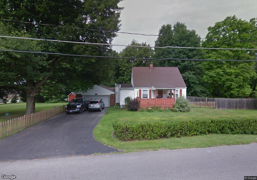
1360 Orkney Ave Youngstown, OH 44515
Austintown NeighborhoodEstimated Value: $146,000 - $183,000
3
Beds
1
Bath
1,222
Sq Ft
$138/Sq Ft
Est. Value
About This Home
This home is located at 1360 Orkney Ave, Youngstown, OH 44515 and is currently estimated at $169,111, approximately $138 per square foot. 1360 Orkney Ave is a home located in Mahoning County with nearby schools including Austintown Elementary School, Austintown Intermediate School, and Austintown Middle School.
Ownership History
Date
Name
Owned For
Owner Type
Purchase Details
Closed on
Jul 28, 2022
Sold by
Melanson David J
Bought by
Melanson Donna J
Current Estimated Value
Home Financials for this Owner
Home Financials are based on the most recent Mortgage that was taken out on this home.
Original Mortgage
$67,000
Interest Rate
5.22%
Mortgage Type
Credit Line Revolving
Purchase Details
Closed on
Sep 23, 2002
Sold by
Krolopp Donna J and Krolopp Donna J
Bought by
Melanson David J and Melanson Donna J
Home Financials for this Owner
Home Financials are based on the most recent Mortgage that was taken out on this home.
Original Mortgage
$57,200
Interest Rate
6.32%
Purchase Details
Closed on
Aug 17, 1998
Sold by
Vargo Margaret
Bought by
Krolopp Donna J
Purchase Details
Closed on
Oct 17, 1985
Bought by
Vargo Margaret E
Create a Home Valuation Report for This Property
The Home Valuation Report is an in-depth analysis detailing your home's value as well as a comparison with similar homes in the area
Home Values in the Area
Average Home Value in this Area
Purchase History
| Date | Buyer | Sale Price | Title Company |
|---|---|---|---|
| Melanson Donna J | -- | None Listed On Document | |
| Melanson Donna J | -- | None Listed On Document | |
| Melanson David J | -- | -- | |
| Krolopp Donna J | $40,000 | -- | |
| Vargo Margaret E | -- | -- |
Source: Public Records
Mortgage History
| Date | Status | Borrower | Loan Amount |
|---|---|---|---|
| Previous Owner | Melanson Donna J | $67,000 | |
| Previous Owner | Melanson David J | $57,200 |
Source: Public Records
Tax History Compared to Growth
Tax History
| Year | Tax Paid | Tax Assessment Tax Assessment Total Assessment is a certain percentage of the fair market value that is determined by local assessors to be the total taxable value of land and additions on the property. | Land | Improvement |
|---|---|---|---|---|
| 2024 | $2,125 | $46,400 | $8,840 | $37,560 |
| 2023 | $2,091 | $46,400 | $8,840 | $37,560 |
| 2022 | $1,160 | $20,620 | $3,910 | $16,710 |
| 2021 | $1,161 | $20,620 | $3,910 | $16,710 |
| 2020 | $1,166 | $20,620 | $3,910 | $16,710 |
| 2019 | $1,281 | $20,620 | $3,910 | $16,710 |
| 2018 | $1,232 | $20,620 | $3,910 | $16,710 |
| 2017 | $1,360 | $20,620 | $3,910 | $16,710 |
| 2016 | $1,490 | $24,760 | $5,300 | $19,460 |
| 2015 | $1,445 | $24,760 | $5,300 | $19,460 |
| 2014 | $1,451 | $24,760 | $5,300 | $19,460 |
| 2013 | $1,436 | $24,760 | $5,300 | $19,460 |
Source: Public Records
Map
Nearby Homes
- 4102 Burkey Rd
- 4262 Pembrook Rd
- 532 Westgate Blvd
- 3972 Artmar Dr
- 4234 Burkey Rd
- 3890 Ayrshire Dr
- 4235 Patricia Ave
- 3852 Edinburgh Dr
- 4241 Wedgewood Dr
- 3811 Artmar Dr
- 1560 S Meridian Rd
- 3913 Claridge Dr
- 4289 Wedgewood Dr
- 263 S Main St
- 252 Rosemont Ave
- 603 S Raccoon Rd Unit 9
- 603 S Raccoon Rd Unit 14
- 603 S Raccoon Rd Unit 61
- 0 Elmwood Ave
- 2430 Redgate Ln
- 1341 Orkney Ave
- 1355 Orkney Ave Unit 1357
- 1351 Orkney Ave Unit 1349
- 1349 Orkney Ave Unit 351
- 1361-1363 Orkney St
- 1361 Orkney Ave Unit 363
- 1363 Orkney St
- 1343 Orkney Ave Unit 345
- 4105 Pembrook Rd
- 3955 Dunbar St
- 3950 Cumberland Dr
- 3959 Cumberland Dr
- 1310 Orkney Ave
- 4150 Pembrook Rd
- 3960 Dunbar St
- 3953 Cumberland Dr
- 3949 Dunbar St
- 3944 Cumberland Dr
- 3950 Dunbar St
- 3947 Cumberland Dr