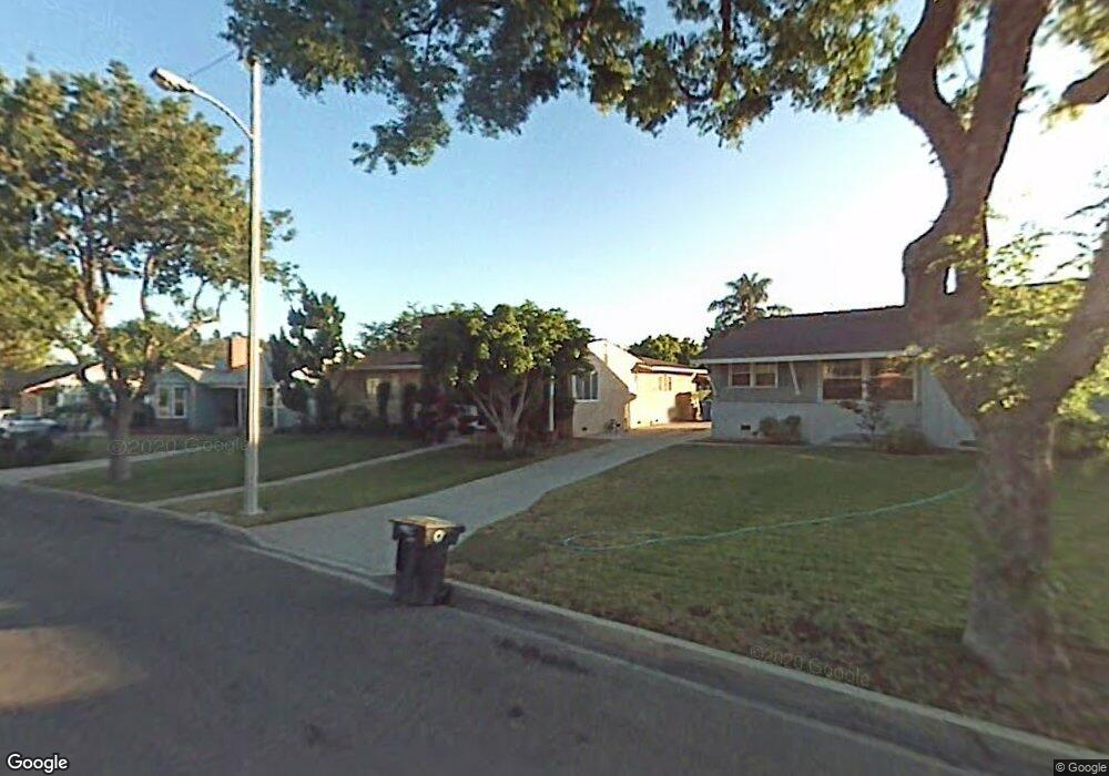
13643 Avion Dr La Mirada, CA 90638
Estimated Value: $887,000 - $933,000
3
Beds
2
Baths
1,734
Sq Ft
$524/Sq Ft
Est. Value
About This Home
This home is located at 13643 Avion Dr, La Mirada, CA 90638 and is currently estimated at $909,137, approximately $524 per square foot. 13643 Avion Dr is a home located in Los Angeles County with nearby schools including Gardenhill Elementary School, Arlie F. Hutchinson Middle School, and La Mirada High School.
Ownership History
Date
Name
Owned For
Owner Type
Purchase Details
Closed on
Sep 9, 2024
Sold by
Muniz Katharyn
Bought by
Katharyn O Muniz 2018 Trust and Muniz
Current Estimated Value
Purchase Details
Closed on
May 29, 2024
Sold by
Muniz Family Revocable Living Trust and Muniz Katharyn Olga
Bought by
Muniz Katharyn
Home Financials for this Owner
Home Financials are based on the most recent Mortgage that was taken out on this home.
Original Mortgage
$100,000
Interest Rate
7.17%
Mortgage Type
New Conventional
Create a Home Valuation Report for This Property
The Home Valuation Report is an in-depth analysis detailing your home's value as well as a comparison with similar homes in the area
Home Values in the Area
Average Home Value in this Area
Purchase History
| Date | Buyer | Sale Price | Title Company |
|---|---|---|---|
| Katharyn O Muniz 2018 Trust | -- | None Listed On Document | |
| Muniz Katharyn | -- | Worldwide Recording |
Source: Public Records
Mortgage History
| Date | Status | Borrower | Loan Amount |
|---|---|---|---|
| Previous Owner | Muniz Katharyn | $100,000 |
Source: Public Records
Tax History
| Year | Tax Paid | Tax Assessment Tax Assessment Total Assessment is a certain percentage of the fair market value that is determined by local assessors to be the total taxable value of land and additions on the property. | Land | Improvement |
|---|---|---|---|---|
| 2025 | $1,618 | $803,760 | $640,560 | $163,200 |
| 2024 | $1,618 | $89,114 | $36,986 | $52,128 |
| 2023 | $1,576 | $87,367 | $36,261 | $51,106 |
| 2022 | $1,547 | $85,654 | $35,550 | $50,104 |
| 2021 | $1,516 | $83,975 | $34,853 | $49,122 |
| 2020 | $1,487 | $83,115 | $34,496 | $48,619 |
| 2019 | $1,477 | $81,486 | $33,820 | $47,666 |
| 2018 | $1,349 | $79,889 | $33,157 | $46,732 |
| 2016 | $1,272 | $76,788 | $31,870 | $44,918 |
| 2015 | $1,259 | $75,636 | $31,392 | $44,244 |
| 2014 | $1,201 | $74,156 | $30,778 | $43,378 |
Source: Public Records
Map
Nearby Homes
- 14009 Biola Ave
- 14168 Bay St
- 14420 Bridgewood Dr
- 14116 Bay St
- 14356 Coolbank Dr
- 13432 Bona Vista Ln
- 13515 Bona Vista Ln
- 14508 Sabine Dr
- 14103 Whiterock Dr
- 14528 Valley View Ave
- 13949 Elmbrook Dr
- 13224 Sunnybrook Ln
- 14855 Valeda Dr
- 14635 Jalisco Rd
- 12628 Edderton Ave
- 14211 Elmbrook Dr
- 14829 Gagely Dr
- 13233 Oakwood Ln
- 14044 Lake Glen Dr Unit 38
- 12726 Lake Forest Ave Unit 25
- 13649 Avion Dr
- 13639 Avion Dr
- 13706 Brazo Rd
- 13633 Avion Dr
- 13655 Avion Dr
- 13702 Brazo Rd
- 13712 Brazo Rd
- 14521 Poner St
- 13632 Brazo Rd
- 14541 Poner St
- 14502 Calpella St
- 13718 Brazo Rd
- 13627 Avion Dr
- 13626 Brazo Rd
- 14515 Poner St
- 14508 Calpella St
- 13722 Brazo Rd
- 14547 Poner St
- 13621 Avion Dr
- 13620 Brazo Rd
Your Personal Tour Guide
Ask me questions while you tour the home.