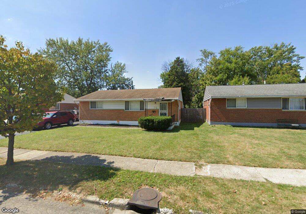
1365 Cunard Rd Columbus, OH 43227
Linwood NeighborhoodEstimated Value: $191,936 - $238,000
3
Beds
2
Baths
1,100
Sq Ft
$192/Sq Ft
Est. Value
About This Home
This home is located at 1365 Cunard Rd, Columbus, OH 43227 and is currently estimated at $211,484, approximately $192 per square foot. 1365 Cunard Rd is a home located in Franklin County with nearby schools including Scottwood Elementary School, Johnson Park Middle School, and Walnut Ridge High School.
Ownership History
Date
Name
Owned For
Owner Type
Purchase Details
Closed on
Jul 24, 2019
Sold by
Locke Cennie D and The Colleen R Locke Irrv Tr
Bought by
Locke Brown Tyseand
Current Estimated Value
Purchase Details
Closed on
Nov 18, 2004
Sold by
Locke Colleen R
Bought by
Locke Colleen R and The Colleen R Locke Trust
Purchase Details
Closed on
Nov 18, 1986
Bought by
Locke Colleen R
Create a Home Valuation Report for This Property
The Home Valuation Report is an in-depth analysis detailing your home's value as well as a comparison with similar homes in the area
Home Values in the Area
Average Home Value in this Area
Purchase History
| Date | Buyer | Sale Price | Title Company |
|---|---|---|---|
| Locke Brown Tyseand | $71,000 | None Available | |
| Locke Colleen R | -- | -- | |
| Locke Colleen R | $55,900 | -- |
Source: Public Records
Tax History
| Year | Tax Paid | Tax Assessment Tax Assessment Total Assessment is a certain percentage of the fair market value that is determined by local assessors to be the total taxable value of land and additions on the property. | Land | Improvement |
|---|---|---|---|---|
| 2025 | $5,624 | $59,330 | $13,650 | $45,680 |
| 2024 | $5,624 | $59,330 | $13,650 | $45,680 |
| 2023 | $2,629 | $59,325 | $13,650 | $45,675 |
| 2022 | $1,202 | $23,170 | $6,930 | $16,240 |
| 2021 | $1,204 | $23,170 | $6,930 | $16,240 |
| 2020 | $1,205 | $23,170 | $6,930 | $16,240 |
| 2019 | $977 | $24,860 | $5,780 | $19,080 |
| 2018 | $933 | $24,860 | $5,780 | $19,080 |
| 2017 | $979 | $24,860 | $5,780 | $19,080 |
| 2016 | $981 | $23,560 | $4,970 | $18,590 |
| 2015 | $891 | $23,560 | $4,970 | $18,590 |
| 2014 | $893 | $23,560 | $4,970 | $18,590 |
| 2013 | $518 | $26,180 | $5,530 | $20,650 |
Source: Public Records
Map
Nearby Homes
- 3585 Cushing Dr
- 3622 Cushing Dr Unit C
- 1353 Barnett Rd
- 1322 S Weyant Ave
- 3457 Roswell Dr
- 3608 Bolton Ave
- 3428 LIV Moor Dr
- 3598 Astor Ave
- 1619 Basil Dr
- 1269 Carolwood Ave
- 3355 E Deshler Ave
- 3325 E Deshler Ave
- 1624 Miltwood Rd
- 1251 Dellwood Ave
- 1294 Dellwood Ave
- 1042 S Hampton Rd
- 931 E Fulton St
- 1265 Elderwood Ave
- 1035 E Fulton St
- 892 Ruby Ave
- 1373 Cunard Rd
- 1359 Cunard Rd
- 1379 Cunard Rd
- 1351 Cunard Rd
- 1360 Picard Rd
- 1352 Picard Rd
- 1368 Picard Rd
- 1346 Picard Rd
- 1374 Picard Rd
- 1345 Cunard Rd
- 1391 Cunard Rd
- 3470 Seabrook Ave
- 1340 Picard Rd
- 3462 Seabrook Ave
- 1386 Cunard Rd
- 1333 Cunard Rd
- 3456 Seabrook Ave
- 1330 Picard Rd
- 3498 Seabrook Ave
- 1357 Picard Rd
Your Personal Tour Guide
Ask me questions while you tour the home.