1365 Eastwood Dr Circleville, OH 43113
Estimated Value: $55,931 - $336,000
--
Bed
--
Bath
--
Sq Ft
0.32
Acres
About This Home
This home is located at 1365 Eastwood Dr, Circleville, OH 43113 and is currently estimated at $157,233. 1365 Eastwood Dr is a home located in Pickaway County with nearby schools including Logan Elm High School and Crossroads Christian Academy.
Ownership History
Date
Name
Owned For
Owner Type
Purchase Details
Closed on
Sep 1, 2016
Sold by
Hhi One Llc
Bought by
Bennington Traci Nicole
Current Estimated Value
Purchase Details
Closed on
Aug 13, 2014
Sold by
Engel Kurt and Engel Ashlee P
Bought by
Hhi One Llc
Purchase Details
Closed on
Apr 9, 2012
Sold by
Ratcliff Meredith D and Ratcliff Goldie I
Bought by
Engel Kurt and Engel Ashlee P
Purchase Details
Closed on
Oct 3, 2005
Sold by
Dean Robert E and Dean Lorraine Huffman
Bought by
Ratcliff Meredith D and Ratcliff Goldie I
Purchase Details
Closed on
Aug 7, 2001
Sold by
Elsea Inc
Bought by
Dean Robert E and Dean Lorraine H
Home Financials for this Owner
Home Financials are based on the most recent Mortgage that was taken out on this home.
Original Mortgage
$25,200
Interest Rate
7.14%
Mortgage Type
New Conventional
Create a Home Valuation Report for This Property
The Home Valuation Report is an in-depth analysis detailing your home's value as well as a comparison with similar homes in the area
Home Values in the Area
Average Home Value in this Area
Purchase History
| Date | Buyer | Sale Price | Title Company |
|---|---|---|---|
| Bennington Traci Nicole | $29,000 | Attorney | |
| Hhi One Llc | $30,000 | Clt | |
| Engel Kurt | $32,900 | Attorney | |
| Ratcliff Meredith D | $32,000 | None Available | |
| Dean Robert E | $28,000 | -- |
Source: Public Records
Mortgage History
| Date | Status | Borrower | Loan Amount |
|---|---|---|---|
| Previous Owner | Dean Robert E | $25,200 |
Source: Public Records
Tax History Compared to Growth
Tax History
| Year | Tax Paid | Tax Assessment Tax Assessment Total Assessment is a certain percentage of the fair market value that is determined by local assessors to be the total taxable value of land and additions on the property. | Land | Improvement |
|---|---|---|---|---|
| 2024 | -- | $12,690 | $12,690 | $0 |
| 2023 | $427 | $12,690 | $12,690 | $0 |
| 2022 | $378 | $10,540 | $10,540 | $0 |
| 2021 | $388 | $10,540 | $10,540 | $0 |
| 2020 | $393 | $10,540 | $10,540 | $0 |
| 2019 | $382 | $10,540 | $10,540 | $0 |
| 2018 | $419 | $10,540 | $10,540 | $0 |
| 2017 | $345 | $10,540 | $10,540 | $0 |
| 2016 | $366 | $11,290 | $11,290 | $0 |
| 2015 | $367 | $11,290 | $11,290 | $0 |
| 2014 | $630 | $11,290 | $11,290 | $0 |
| 2013 | $403 | $12,040 | $12,040 | $0 |
Source: Public Records
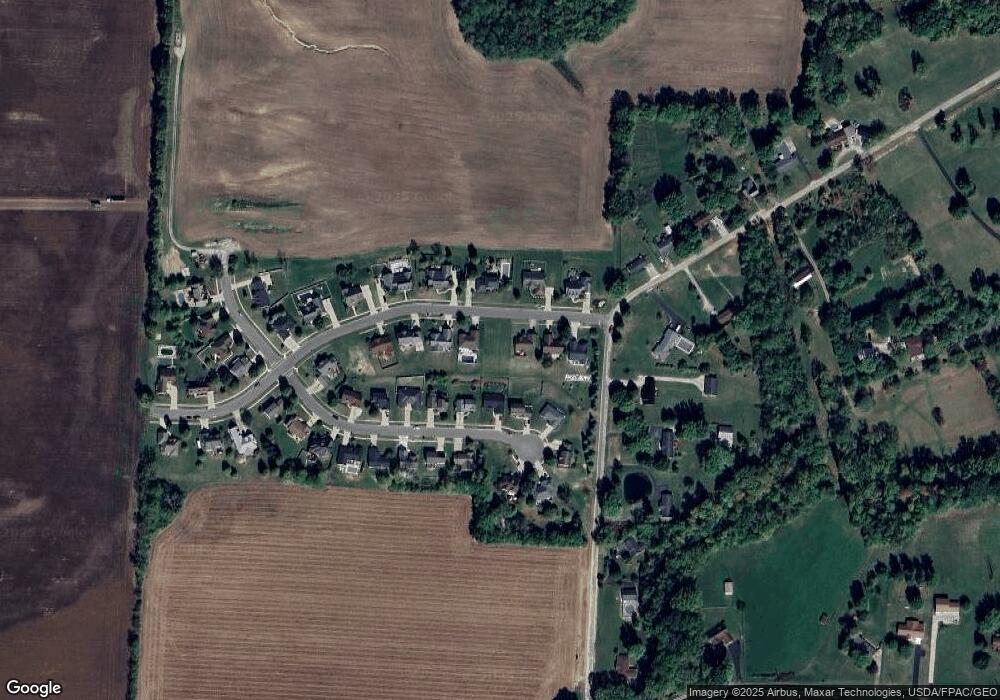
Map
Nearby Homes
- 0 Old Tarlton Pike
- 6983 Old Tarlton Pike
- 22952 Bolender Pontius Rd
- 24128 Huber Hitler Rd
- 466 John St
- 334 Lancaster Pike
- 551 E Main St
- 7241 State Route 56 E
- 208 Moats Dr
- 152 Griner Ave
- 546 E Ohio St
- 461 Watt St
- 539 E Union St
- 575 Renick Ave
- 474 Half Ave
- 231 Westwood Dr
- 429 Half Ave
- 382 E Franklin St
- 418 Clinton St
- 377 E Union St
- 1355 Eastwood Dr
- 1375 Eastwood Dr
- 1070 Ridge Dr
- 1345 Eastwood Dr
- 1385 Eastwood Dr
- 1062 Ridge Dr
- 1360 Eastwood Dr
- 1078 Ridge Dr
- 1054 Ridge Dr
- 1380 Eastwood Dr
- 1395 Eastwood Dr
- 1335 Eastwood Dr
- 1086 Ridge Dr
- 1340 Eastwood Dr
- 1046 Ridge Dr
- 1390 Eastwood Dr
- 1059 Ridge Dr
- 0 Eastwood Dr Unit 8 2212665
- 0 Eastwood Dr Unit 10 2212649
- 0 Eastwood Dr Unit 31 2212856