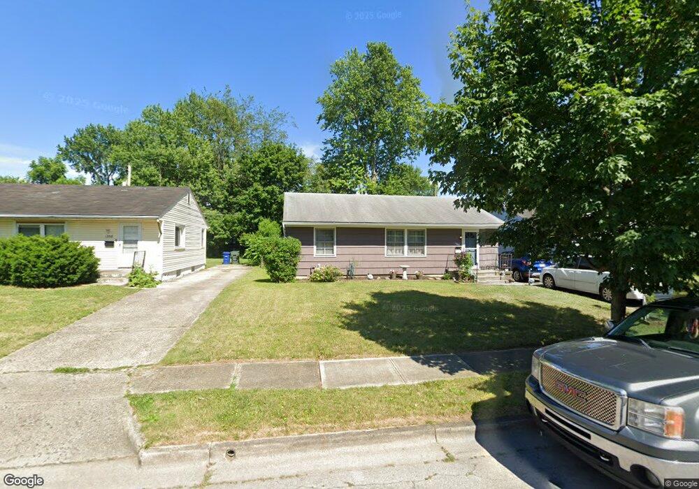
1366 Byron Ave Columbus, OH 43227
Linwood NeighborhoodEstimated Value: $153,462 - $189,000
3
Beds
1
Bath
999
Sq Ft
$174/Sq Ft
Est. Value
About This Home
This home is located at 1366 Byron Ave, Columbus, OH 43227 and is currently estimated at $173,616, approximately $173 per square foot. 1366 Byron Ave is a home located in Franklin County with nearby schools including Scottwood Elementary School, Johnson Park Middle School, and Walnut Ridge High School.
Ownership History
Date
Name
Owned For
Owner Type
Purchase Details
Closed on
Jun 20, 1995
Sold by
Est Robert Irwin
Bought by
Catherine L Irwin
Current Estimated Value
Home Financials for this Owner
Home Financials are based on the most recent Mortgage that was taken out on this home.
Original Mortgage
$52,965
Interest Rate
8.27%
Mortgage Type
FHA
Create a Home Valuation Report for This Property
The Home Valuation Report is an in-depth analysis detailing your home's value as well as a comparison with similar homes in the area
Home Values in the Area
Average Home Value in this Area
Purchase History
We collect this data history from publicly available records. To have your information removed, we recommend requesting removal directly through your county’s website.
| Date | Buyer | Sale Price | Title Company |
|---|---|---|---|
| Catherine L Irwin | $54,000 | -- |
Source: Public Records
Mortgage History
We collect this data history from publicly available records. To have your information removed, we recommend requesting removal directly through your county’s website.
| Date | Status | Borrower | Loan Amount |
|---|---|---|---|
| Closed | Catherine L Irwin | $52,965 |
Source: Public Records
Tax History
| Year | Tax Paid | Tax Assessment Tax Assessment Total Assessment is a certain percentage of the fair market value that is determined by local assessors to be the total taxable value of land and additions on the property. | Land | Improvement |
|---|---|---|---|---|
| 2025 | $3,125 | $46,620 | $13,230 | $33,390 |
| 2024 | $3,125 | $46,620 | $13,230 | $33,390 |
| 2023 | $2,066 | $46,620 | $13,230 | $33,390 |
| 2022 | $2,477 | $23,280 | $6,720 | $16,560 |
| 2021 | $1,210 | $23,280 | $6,720 | $16,560 |
| 2020 | $1,211 | $23,280 | $6,720 | $16,560 |
| 2019 | $1,145 | $18,870 | $5,600 | $13,270 |
| 2018 | $1,176 | $18,870 | $5,600 | $13,270 |
| 2017 | $1,144 | $18,870 | $5,600 | $13,270 |
| 2016 | $1,333 | $20,130 | $4,830 | $15,300 |
| 2015 | $1,211 | $20,130 | $4,830 | $15,300 |
| 2014 | $1,213 | $20,130 | $4,830 | $15,300 |
| 2013 | $664 | $22,330 | $5,355 | $16,975 |
Source: Public Records
Map
Nearby Homes
- 1353 Barnett Rd
- 3270 E Livingston Ave
- 3092-3094 Cressing Ct
- 1472 Picard Rd
- 3285 Towers Ct S
- 3323 Roswell Dr
- 1624 Miltwood Rd
- 3585 Cushing Dr
- 1341 Millerdale Rd
- 1074 S James Rd
- 3457 Roswell Dr
- 1048 S James Rd
- 3325 E Deshler Ave
- 1037-1039 S James Rd
- 967 Ruby Ave
- 3608 Bolton Ave
- 3355 E Deshler Ave
- 1024-1026 S Kellner Rd Unit 26
- 3598 Astor Ave
- 916 S Hampton Rd
Your Personal Tour Guide
Ask me questions while you tour the home.