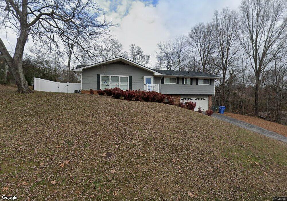
1367 Polaris Dr Hixson, TN 37343
Dupont NeighborhoodEstimated Value: $279,404 - $347,000
--
Bed
1
Bath
2,204
Sq Ft
$144/Sq Ft
Est. Value
About This Home
This home is located at 1367 Polaris Dr, Hixson, TN 37343 and is currently estimated at $316,351, approximately $143 per square foot. 1367 Polaris Dr is a home located in Hamilton County with nearby schools including DuPont Elementary School, St Jude School, and St. Peter's Episcopal School.
Ownership History
Date
Name
Owned For
Owner Type
Purchase Details
Closed on
Jan 22, 2018
Sold by
Sharp Jonathan David and Sharp Ashlee
Bought by
Bryant Brittany Elizabeth and Bryant Carey
Current Estimated Value
Home Financials for this Owner
Home Financials are based on the most recent Mortgage that was taken out on this home.
Original Mortgage
$160,535
Outstanding Balance
$135,472
Interest Rate
3.94%
Mortgage Type
New Conventional
Estimated Equity
$180,879
Purchase Details
Closed on
Dec 31, 2007
Sold by
Sharp Philip Fletcher and Sharp Cynthia Norris
Bought by
Paine Sharp Jonathan David and Paine Bibee Ashlee
Home Financials for this Owner
Home Financials are based on the most recent Mortgage that was taken out on this home.
Original Mortgage
$98,000
Interest Rate
6.15%
Mortgage Type
Purchase Money Mortgage
Create a Home Valuation Report for This Property
The Home Valuation Report is an in-depth analysis detailing your home's value as well as a comparison with similar homes in the area
Home Values in the Area
Average Home Value in this Area
Purchase History
| Date | Buyer | Sale Price | Title Company |
|---|---|---|---|
| Bryant Brittany Elizabeth | $165,500 | Foundation Title & Escrow | |
| Paine Sharp Jonathan David | $123,000 | Old Colonial Title & Closing |
Source: Public Records
Mortgage History
| Date | Status | Borrower | Loan Amount |
|---|---|---|---|
| Open | Bryant Brittany Elizabeth | $160,535 | |
| Previous Owner | Paine Sharp Jonathan David | $98,000 |
Source: Public Records
Tax History Compared to Growth
Tax History
| Year | Tax Paid | Tax Assessment Tax Assessment Total Assessment is a certain percentage of the fair market value that is determined by local assessors to be the total taxable value of land and additions on the property. | Land | Improvement |
|---|---|---|---|---|
| 2024 | $961 | $42,950 | $0 | $0 |
| 2023 | $961 | $42,950 | $0 | $0 |
| 2022 | $961 | $42,950 | $0 | $0 |
| 2021 | $961 | $42,950 | $0 | $0 |
| 2020 | $1,004 | $36,325 | $0 | $0 |
| 2019 | $1,004 | $36,325 | $0 | $0 |
| 2018 | $954 | $36,325 | $0 | $0 |
| 2017 | $1,004 | $36,325 | $0 | $0 |
| 2016 | $934 | $0 | $0 | $0 |
| 2015 | $1,829 | $33,775 | $0 | $0 |
| 2014 | $1,829 | $0 | $0 | $0 |
Source: Public Records
Map
Nearby Homes
- 4706 Eldridge Rd
- 1328 Michael Ln
- 1313 Michael Ln
- 810 Forest Dale Ln
- 4609 Plaza Hills Ln
- 4607 Cloverdale Loop
- 4810 Delashmitt Rd
- 1329 Highland Way
- 1237 Cranbrook Dr
- 507 Heidi Cir
- 955 Brynwood Dr
- 4529 Sherry Ln
- 1004 Brynehill Ln
- 1325 Highland Rd
- 607 Mountain Wood Dr
- 1328 Highland Rd
- 1428 Highcrest Dr
- 4739 Tessie Ln
- 961 Ashland Terrace
- 5307 Delashmitt Rd
- 1365 Polaris Dr
- 1369 Polaris Dr
- 4434 Comet Trail
- 0 Brynwood Dr Unit 1237305
- 5009 Creekside Preserve Dr
- 630 Narrows Way
- 0 Brynwood Dr Unit 1226410
- 0 Brynwood Dr Unit 1021659
- 5316 Delashmitt Rd
- 917 Ely Rd
- 0 Brynwood Dr Unit 1002484
- 4905 Brighton Ln
- 923 Ely Rd
- 919 Ely Rd
- 1224 Helena Dr
- 4909 Brighton Ln
- 838 Intermont Rd
- 927 Ely Rd
- 931 Ely Rd
- 804 Ely Rd