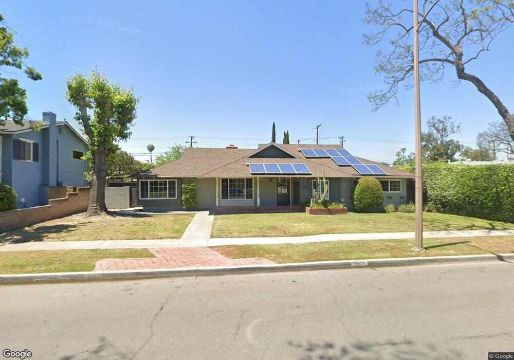
13671 Rosalind Dr Tustin, CA 92780
Estimated Value: $1,344,251 - $1,439,000
4
Beds
3
Baths
2,133
Sq Ft
$646/Sq Ft
Est. Value
About This Home
This home is located at 13671 Rosalind Dr, Tustin, CA 92780 and is currently estimated at $1,378,313, approximately $646 per square foot. 13671 Rosalind Dr is a home located in Orange County with nearby schools including Loma Vista Elementary School, Hewes Middle School, and Foothill High School.
Ownership History
Date
Name
Owned For
Owner Type
Purchase Details
Closed on
Dec 28, 2004
Sold by
Stone Michael and Stone Jessica R
Bought by
Mj Stone Family Lp I Lp
Current Estimated Value
Purchase Details
Closed on
Mar 10, 1997
Sold by
Michael Stone and Michael Jessica Stone
Bought by
Stone Michael and Stone Jessica R
Create a Home Valuation Report for This Property
The Home Valuation Report is an in-depth analysis detailing your home's value as well as a comparison with similar homes in the area
Home Values in the Area
Average Home Value in this Area
Purchase History
| Date | Buyer | Sale Price | Title Company |
|---|---|---|---|
| Mj Stone Family Lp I Lp | -- | -- | |
| Stone Michael | -- | -- | |
| Stone Michael | -- | -- |
Source: Public Records
Tax History
| Year | Tax Paid | Tax Assessment Tax Assessment Total Assessment is a certain percentage of the fair market value that is determined by local assessors to be the total taxable value of land and additions on the property. | Land | Improvement |
|---|---|---|---|---|
| 2025 | $4,922 | $421,091 | $270,459 | $150,632 |
| 2024 | $4,922 | $412,835 | $265,156 | $147,679 |
| 2023 | $4,798 | $404,741 | $259,957 | $144,784 |
| 2022 | $4,721 | $396,805 | $254,859 | $141,946 |
| 2021 | $4,628 | $389,025 | $249,862 | $139,163 |
| 2020 | $4,604 | $385,037 | $247,300 | $137,737 |
| 2019 | $4,495 | $377,488 | $242,451 | $135,037 |
| 2018 | $4,424 | $370,087 | $237,697 | $132,390 |
| 2017 | $4,348 | $362,831 | $233,036 | $129,795 |
| 2016 | $4,272 | $355,717 | $228,467 | $127,250 |
| 2015 | $4,344 | $350,374 | $225,035 | $125,339 |
| 2014 | $4,235 | $343,511 | $220,627 | $122,884 |
Source: Public Records
Map
Nearby Homes
- 17572 Leafwood Ln
- 13662 Loretta Dr
- 13762 Palace Way
- 13902 Yorba St Unit 14C
- 2318 Franzen Ave
- 13822 Pasadena St
- 2443 Deodar St Unit 2
- 17552 Vandenberg Ln Unit 1
- 17522 Vandenberg Ln Unit 3
- 2232 Joana Dr
- 2610 Deodar St
- 17782 Arbolada Way
- 821 S Fairmont Way
- 13772 Sanderstead Rd
- 14272 Acacia Dr
- 2514 N Tustin Ave Unit 66
- 2512 N Tustin Ave Unit D
- 2520 N Tustin Ave Unit B
- 2516 N Tustin Ave Unit A
- 2030 E Santa Clara Ave Unit K2
- 13681 Rosalind Dr
- 13651 Rosalind Dr
- 13672 Yorba St
- 13682 Yorba St
- 13672 Rosalind Dr
- 13662 Rosalind Dr
- 13691 Rosalind Dr
- 13682 Rosalind Dr
- 13692 Yorba St
- 13642 Rosalind Dr
- 17521 Linda Ln
- 13692 Rosalind Dr
- 13671 Loretta Dr
- 17541 Linda Ln
- 13661 Loretta Dr
- 17501 Linda Ln
- 13681 Loretta Dr
- 13701 Rosalind Dr
- 13702 Yorba St
Your Personal Tour Guide
Ask me questions while you tour the home.