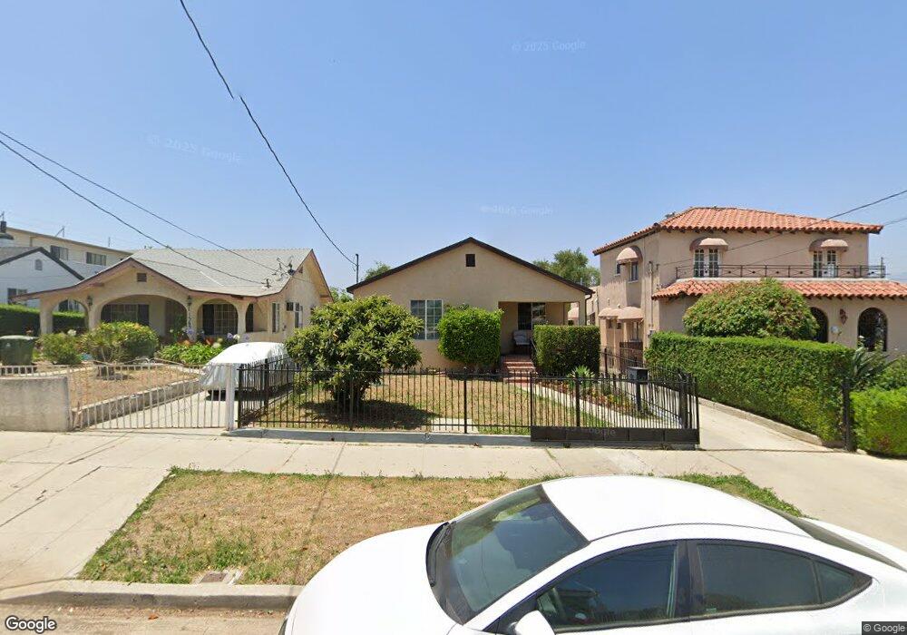
1369 Armadale Ave Los Angeles, CA 90042
Estimated Value: $1,089,000 - $1,386,000
2
Beds
2
Baths
1,256
Sq Ft
$953/Sq Ft
Est. Value
About This Home
This home is located at 1369 Armadale Ave, Los Angeles, CA 90042 and is currently estimated at $1,196,660, approximately $952 per square foot. 1369 Armadale Ave is a home located in Los Angeles County with nearby schools including Toland Way Elementary School, Benjamin Franklin High School, and Eagle Rock High School.
Ownership History
Date
Name
Owned For
Owner Type
Purchase Details
Closed on
Jul 12, 2007
Sold by
Barilla F Rocky and Lucera Barilla Revocable Trust
Bought by
Barilla Dana and Calix Claudia
Current Estimated Value
Home Financials for this Owner
Home Financials are based on the most recent Mortgage that was taken out on this home.
Original Mortgage
$400,000
Outstanding Balance
$245,008
Interest Rate
6.12%
Mortgage Type
Purchase Money Mortgage
Estimated Equity
$951,652
Purchase Details
Closed on
Jan 5, 2001
Sold by
Barilla Lucera
Bought by
Barilla F Rocky and Lucera Barilla Revocable Trust
Create a Home Valuation Report for This Property
The Home Valuation Report is an in-depth analysis detailing your home's value as well as a comparison with similar homes in the area
Home Values in the Area
Average Home Value in this Area
Purchase History
| Date | Buyer | Sale Price | Title Company |
|---|---|---|---|
| Barilla Dana | $500,000 | First Southwestern Title Co | |
| Barilla F Rocky | -- | -- |
Source: Public Records
Mortgage History
| Date | Status | Borrower | Loan Amount |
|---|---|---|---|
| Open | Barilla Dana | $400,000 |
Source: Public Records
Tax History Compared to Growth
Tax History
| Year | Tax Paid | Tax Assessment Tax Assessment Total Assessment is a certain percentage of the fair market value that is determined by local assessors to be the total taxable value of land and additions on the property. | Land | Improvement |
|---|---|---|---|---|
| 2025 | $7,878 | $656,741 | $525,398 | $131,343 |
| 2024 | $7,878 | $643,865 | $515,097 | $128,768 |
| 2023 | $7,725 | $631,242 | $504,998 | $126,244 |
| 2022 | $7,363 | $618,866 | $495,097 | $123,769 |
| 2021 | $7,271 | $606,733 | $485,390 | $121,343 |
| 2019 | $7,051 | $588,739 | $470,994 | $117,745 |
| 2018 | $6,968 | $577,196 | $461,759 | $115,437 |
| 2016 | $6,654 | $554,784 | $443,829 | $110,955 |
| 2015 | $6,556 | $546,452 | $437,163 | $109,289 |
| 2014 | $5,815 | $473,000 | $378,000 | $95,000 |
Source: Public Records
Map
Nearby Homes
- 4666 York Blvd
- 1336 Armadale Ave
- 4654 Toland Way
- 4854 Buchanan St
- 4780 Hub St
- 4925 Buchanan St
- 4824 Toland Way
- 4500 Mont Eagle Place
- 1607 Campus Rd
- 1113 N Avenue 50
- 1017 Dexter St
- 1048 Dexter St
- 4312 Division St
- 1037 N Avenue 50
- 925 927 El Paso Dr
- 4263 Barryknoll Dr
- 1087 Oneonta Dr
- 5055 Hub St
- 1747 N Avenue 46
- 5125 Buchanan St
- 1373 Armadale Ave
- 1365 Armadale Ave
- 1361 Armadale Ave
- 1363 Armadale Ave
- 4720 Lincoln Ave
- 4739 Lincoln Ave
- 1379 Armadale Ave
- 1385 Armadale Ave
- 1370 Armadale Ave
- 4727 Lincoln Ave Unit 4729
- 4727 Lincoln Ave
- 1364 Armadale Ave
- 1356 1/2 Armadale Ave
- 1358 Armadale Ave
- 4714 Lincoln Ave
- 4756 Lincoln Ave
- 4751 Lincoln Ave
- 4721 Lincoln Ave
- 4717 Lincoln Ave
- 1351 Armadale Ave