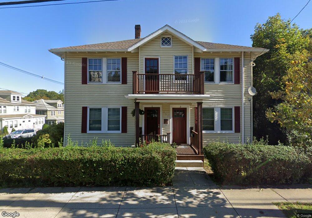
137 Cornell St Unit 1 Roslindale, MA 02131
Roslindale NeighborhoodEstimated Value: $492,328 - $587,000
2
Beds
1
Bath
897
Sq Ft
$587/Sq Ft
Est. Value
About This Home
This home is located at 137 Cornell St Unit 1, Roslindale, MA 02131 and is currently estimated at $526,832, approximately $587 per square foot. 137 Cornell St Unit 1 is a home located in Suffolk County with nearby schools including Brooke Charter School Roslindale, Sacred Heart STEM School, and St. Clare High School.
Ownership History
Date
Name
Owned For
Owner Type
Purchase Details
Closed on
Jun 29, 2010
Sold by
Grogan Lisa
Bought by
Federal National Mortgage Association
Current Estimated Value
Purchase Details
Closed on
Nov 2, 2006
Sold by
137 Cornett Street Con
Bought by
Grogan Lisa
Home Financials for this Owner
Home Financials are based on the most recent Mortgage that was taken out on this home.
Original Mortgage
$276,450
Interest Rate
6.47%
Mortgage Type
Purchase Money Mortgage
Create a Home Valuation Report for This Property
The Home Valuation Report is an in-depth analysis detailing your home's value as well as a comparison with similar homes in the area
Home Values in the Area
Average Home Value in this Area
Purchase History
| Date | Buyer | Sale Price | Title Company |
|---|---|---|---|
| Federal National Mortgage Association | $267,027 | -- | |
| Grogan Lisa | $291,000 | -- |
Source: Public Records
Mortgage History
| Date | Status | Borrower | Loan Amount |
|---|---|---|---|
| Previous Owner | Grogan Lisa | $276,450 |
Source: Public Records
Tax History Compared to Growth
Tax History
| Year | Tax Paid | Tax Assessment Tax Assessment Total Assessment is a certain percentage of the fair market value that is determined by local assessors to be the total taxable value of land and additions on the property. | Land | Improvement |
|---|---|---|---|---|
| 2025 | $4,610 | $398,100 | $0 | $398,100 |
| 2024 | $4,077 | $374,000 | $0 | $374,000 |
| 2023 | $3,823 | $356,000 | $0 | $356,000 |
| 2022 | $3,620 | $332,700 | $0 | $332,700 |
| 2021 | $3,317 | $310,900 | $0 | $310,900 |
| 2020 | $3,250 | $307,800 | $0 | $307,800 |
| 2019 | $3,089 | $293,100 | $0 | $293,100 |
| 2018 | $3,072 | $293,100 | $0 | $293,100 |
| 2017 | $2,957 | $279,200 | $0 | $279,200 |
| 2016 | $2,792 | $253,800 | $0 | $253,800 |
| 2015 | $2,632 | $217,300 | $0 | $217,300 |
| 2014 | $2,324 | $184,700 | $0 | $184,700 |
Source: Public Records
Map
Nearby Homes
- 295 Kittredge St
- 5 7 Hemman St
- 124 Glendower Rd Unit 2
- 89 Glendower Rd
- 75 Glendower Rd
- 69 Metropolitan Ave
- 67 Hautevale St
- 142 Metropolitan Ave Unit A
- 55 Metropolitan Ave
- 34 Averton St
- 0 Averton St
- 276 Cornell St
- 25 Crandall St
- 142 Birch St
- 142 Birch St Unit 1
- 142 Birch St Unit 2
- 415 Poplar St
- 273 Metropolitan Ave Unit 2
- 417 Poplar St
- 112 Roslindale Ave Unit 2
- 137 Cornell St
- 137 Cornell St Unit 2
- 133 Cornell St
- 244 Kittredge St
- 147 Cornell St Unit 147
- 147 Cornell St Unit 149
- 149 Cornell St
- 147 Cornell St
- 149 Cornell St Unit Left Side
- 129 Cornell St
- 251 Kittredge St
- 251 Kittredge St Unit 251
- 240 Kittredge St Unit 2
- 292 Kittredge St
- 144 Cornell St
- 249 Kittredge St Unit 251
- 127 Cornell St
- 153 Cornell St Unit A,1
- 153 Cornell St Unit 3
- 153 Cornell St Unit 2