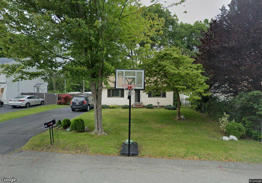
137 Hubbard Ave Brockton, MA 02301
Campello NeighborhoodEstimated Value: $501,889 - $539,000
4
Beds
1
Bath
1,352
Sq Ft
$378/Sq Ft
Est. Value
About This Home
This home is located at 137 Hubbard Ave, Brockton, MA 02301 and is currently estimated at $511,472, approximately $378 per square foot. 137 Hubbard Ave is a home located in Plymouth County with nearby schools including Davis K-8 School, John F. Kennedy Elementary School, and South Middle School.
Ownership History
Date
Name
Owned For
Owner Type
Purchase Details
Closed on
Mar 27, 2006
Sold by
Jack Richard and Jack Ivy J
Bought by
Fisher Darren E and Fisher Gina R
Current Estimated Value
Home Financials for this Owner
Home Financials are based on the most recent Mortgage that was taken out on this home.
Original Mortgage
$305,000
Outstanding Balance
$174,462
Interest Rate
6.28%
Mortgage Type
Purchase Money Mortgage
Estimated Equity
$337,010
Purchase Details
Closed on
Mar 29, 1991
Sold by
Smith Dean F and Smith Anne P
Bought by
Jack Richard J and Jack Ivy J
Create a Home Valuation Report for This Property
The Home Valuation Report is an in-depth analysis detailing your home's value as well as a comparison with similar homes in the area
Home Values in the Area
Average Home Value in this Area
Purchase History
| Date | Buyer | Sale Price | Title Company |
|---|---|---|---|
| Fisher Darren E | $305,000 | -- | |
| Jack Richard J | $105,000 | -- |
Source: Public Records
Mortgage History
| Date | Status | Borrower | Loan Amount |
|---|---|---|---|
| Open | Jack Richard J | $305,000 | |
| Previous Owner | Jack Richard J | $10,000 | |
| Previous Owner | Jack Richard J | $100,000 | |
| Previous Owner | Jack Richard J | $99,000 |
Source: Public Records
Tax History Compared to Growth
Tax History
| Year | Tax Paid | Tax Assessment Tax Assessment Total Assessment is a certain percentage of the fair market value that is determined by local assessors to be the total taxable value of land and additions on the property. | Land | Improvement |
|---|---|---|---|---|
| 2025 | $5,046 | $416,700 | $154,100 | $262,600 |
| 2024 | $4,712 | $392,000 | $154,100 | $237,900 |
| 2023 | $4,783 | $368,500 | $104,100 | $264,400 |
| 2022 | $4,593 | $328,800 | $94,600 | $234,200 |
| 2021 | $4,101 | $282,800 | $85,900 | $196,900 |
| 2020 | $4,225 | $278,900 | $76,100 | $202,800 |
| 2019 | $4,030 | $259,300 | $72,000 | $187,300 |
| 2018 | $3,740 | $232,900 | $72,000 | $160,900 |
| 2017 | $3,482 | $216,300 | $72,000 | $144,300 |
| 2016 | $3,281 | $189,000 | $68,600 | $120,400 |
| 2015 | $3,051 | $168,100 | $68,600 | $99,500 |
| 2014 | $3,104 | $171,200 | $68,600 | $102,600 |
Source: Public Records
Map
Nearby Homes
- 358 Copeland St
- 13 Finny's Way
- 15 Fieldstone Dr
- 15 Longworth Ave Unit 231
- 35 Longworth Ave Unit 17
- 1 Fairway Dr
- 47 Southworth St
- 21 Roosevelt Ave
- 115 Market St
- 163 S Leyden St
- 16 Friendship Dr
- 19 Progressive Ave
- 1036 Ash St
- 65 Tremont St
- 223 Clinton St Unit 10
- 223 Clinton St Unit 3
- 18 American Ave
- 137 Channing Ave
- 977 Warren Ave
- 56 Cottage Grove Ave
- 141 Hubbard Ave
- 133 Hubbard Ave
- 147 Hubbard Ave
- 138 Hubbard Ave
- 142 Hubbard Ave
- 151 Hubbard Ave
- 148 Hubbard Ave
- 30 Langdon St
- 130 Hubbard Ave
- 184 Hubbard Ave
- 87 Glendale Ave
- 81 Glendale Ave
- 125 Hubbard Ave
- 350 Copeland St
- 330 Copeland St
- 89 Glendale Ave
- 126 Hubbard Ave
- 77 Glendale Ave
- 328 Copeland St
- 31 Langdon St