Estimated Value: $432,000 - $456,000
3
Beds
2
Baths
1,683
Sq Ft
$266/Sq Ft
Est. Value
About This Home
This home is located at 137 Pondview Rd, Weare, NH 03281 and is currently estimated at $448,263, approximately $266 per square foot. 137 Pondview Rd is a home with nearby schools including Center Woods Elementary School, Weare Middle School, and John Stark Regional High School.
Ownership History
Date
Name
Owned For
Owner Type
Purchase Details
Closed on
Oct 14, 2010
Sold by
Barriere Shane C
Bought by
Barriere Christiane
Current Estimated Value
Purchase Details
Closed on
Feb 1, 2007
Sold by
Dionne Noelle M
Bought by
Barriere Shane C
Home Financials for this Owner
Home Financials are based on the most recent Mortgage that was taken out on this home.
Original Mortgage
$100,000
Interest Rate
6.33%
Mortgage Type
Unknown
Create a Home Valuation Report for This Property
The Home Valuation Report is an in-depth analysis detailing your home's value as well as a comparison with similar homes in the area
Home Values in the Area
Average Home Value in this Area
Purchase History
| Date | Buyer | Sale Price | Title Company |
|---|---|---|---|
| Barriere Christiane | $58,000 | -- | |
| Barriere Shane C | $58,000 | -- |
Source: Public Records
Mortgage History
| Date | Status | Borrower | Loan Amount |
|---|---|---|---|
| Previous Owner | Barriere Shane C | $100,000 | |
| Previous Owner | Barriere Shane C | $38,000 |
Source: Public Records
Tax History Compared to Growth
Tax History
| Year | Tax Paid | Tax Assessment Tax Assessment Total Assessment is a certain percentage of the fair market value that is determined by local assessors to be the total taxable value of land and additions on the property. | Land | Improvement |
|---|---|---|---|---|
| 2024 | $5,807 | $284,800 | $80,000 | $204,800 |
| 2023 | $5,366 | $284,800 | $80,000 | $204,800 |
| 2022 | $4,956 | $284,800 | $80,000 | $204,800 |
| 2021 | $4,899 | $284,800 | $80,000 | $204,800 |
| 2020 | $4,716 | $196,900 | $56,600 | $140,300 |
| 2019 | $4,668 | $196,900 | $56,600 | $140,300 |
| 2018 | $373 | $196,900 | $56,600 | $140,300 |
| 2016 | $4,405 | $196,900 | $56,600 | $140,300 |
| 2015 | $4,495 | $200,600 | $63,400 | $137,200 |
| 2014 | $4,455 | $200,600 | $63,400 | $137,200 |
| 2013 | $4,363 | $200,600 | $63,400 | $137,200 |
Source: Public Records
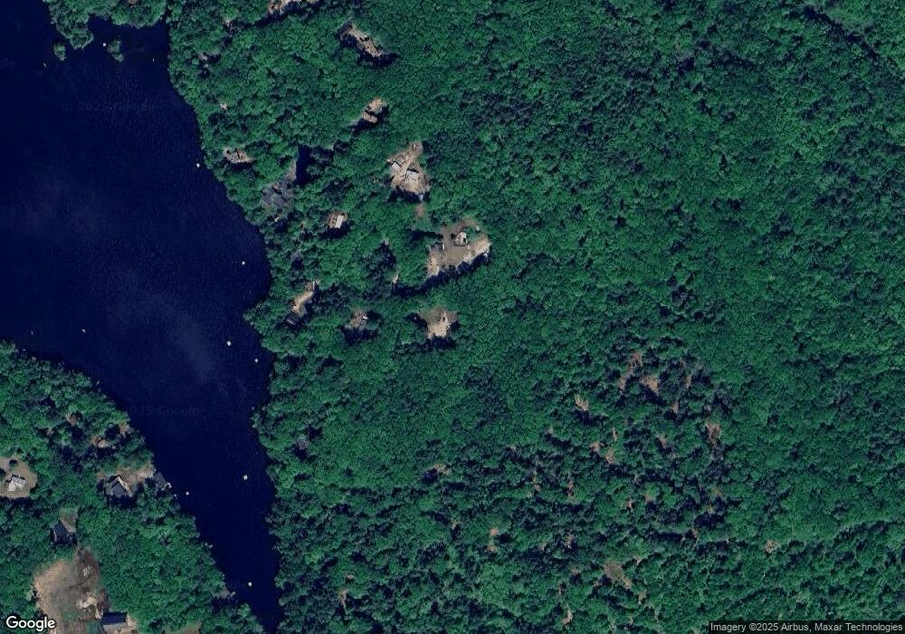
Map
Nearby Homes
- 10 Sap House Rd
- 624 S Stark Hwy
- 196 Deering Center Rd
- 103 Renshaw Rd
- 0 Huntington Hill Rd Unit 69
- 849 River Rd
- 281 Hodgdon Rd
- 77 Gould Rd
- 194 Buckley Rd Unit 2
- 194 Buckley Rd Unit 44
- 179 Oak Hill Rd
- 93 Daniels Rd
- 200 Mountain Rd
- 92 Woodbury Rd
- 30 Dels Way
- 174 S Stark Hwy Unit 13
- 174 S Stark Hwy Unit 1
- 174 S Stark Hwy Unit 23
- 450 Weare Rd
- 256 Middle Branch Rd
- 127 Pondview Rd
- 138 Pondview Rd
- 163 Pondview Rd
- 117 Pondview Rd
- 114 Pondview Rd
- 126 Pondview Rd
- 116 Pondview Rd
- 159 Pondview Rd
- 157 Pondview Rd
- 155 Pondview Rd
- 112 Pondview Rd
- 113 Pondview Rd
- 104 Pond View Rd
- 105 Pondview Rd
- 100 Pondview Rd
- 92 Pondview Rd
- 91 Pond View Rd
- 112 Martin Rd
- 120 Martin Rd
- 0 Pond View Rd Unit 42