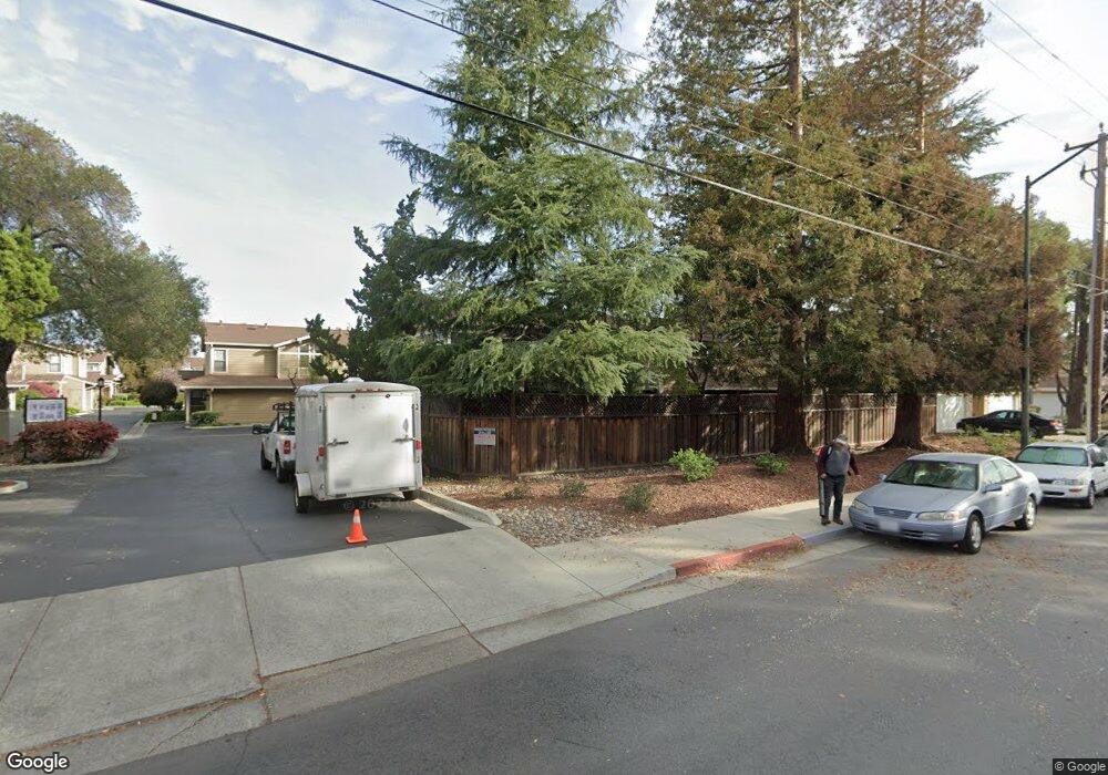
137 Redding Rd Unit C Campbell, CA 95008
Estimated Value: $896,000 - $1,065,000
2
Beds
3
Baths
1,344
Sq Ft
$734/Sq Ft
Est. Value
About This Home
This home is located at 137 Redding Rd Unit C, Campbell, CA 95008 and is currently estimated at $986,809, approximately $734 per square foot. 137 Redding Rd Unit C is a home located in Santa Clara County with nearby schools including Leigh High School, Branham High School, and Farnham Elementary School.
Ownership History
Date
Name
Owned For
Owner Type
Purchase Details
Closed on
May 26, 2011
Sold by
Low Skinner Debra and Skinner Donald J
Bought by
Low Skinner Debra and Skinner Donald
Current Estimated Value
Home Financials for this Owner
Home Financials are based on the most recent Mortgage that was taken out on this home.
Original Mortgage
$98,000
Interest Rate
4.73%
Mortgage Type
New Conventional
Purchase Details
Closed on
Sep 8, 2005
Sold by
Skinner Debra Low
Bought by
Skinner Donald J and Skinner Debra Low
Purchase Details
Closed on
Oct 8, 1993
Sold by
Skinner Debra Low and Low Debra Lee
Bought by
Skinner Debra Low
Home Financials for this Owner
Home Financials are based on the most recent Mortgage that was taken out on this home.
Original Mortgage
$135,500
Interest Rate
6.94%
Create a Home Valuation Report for This Property
The Home Valuation Report is an in-depth analysis detailing your home's value as well as a comparison with similar homes in the area
Home Values in the Area
Average Home Value in this Area
Purchase History
| Date | Buyer | Sale Price | Title Company |
|---|---|---|---|
| Low Skinner Debra | -- | Chicago Title Company | |
| Skinner Donald J | -- | Chicago Title Co | |
| Skinner Debra Low | -- | All California Title Company |
Source: Public Records
Mortgage History
| Date | Status | Borrower | Loan Amount |
|---|---|---|---|
| Previous Owner | Low Skinner Debra | $98,000 | |
| Previous Owner | Skinner Debra Low | $135,500 |
Source: Public Records
Tax History
| Year | Tax Paid | Tax Assessment Tax Assessment Total Assessment is a certain percentage of the fair market value that is determined by local assessors to be the total taxable value of land and additions on the property. | Land | Improvement |
|---|---|---|---|---|
| 2025 | $4,473 | $288,978 | $95,282 | $193,696 |
| 2024 | $4,473 | $283,313 | $93,414 | $189,899 |
| 2023 | $4,460 | $277,759 | $91,583 | $186,176 |
| 2022 | $4,405 | $272,314 | $89,788 | $182,526 |
| 2021 | $4,300 | $266,976 | $88,028 | $178,948 |
| 2020 | $4,106 | $264,240 | $87,126 | $177,114 |
| 2019 | $4,033 | $259,060 | $85,418 | $173,642 |
| 2018 | $3,903 | $253,982 | $83,744 | $170,238 |
| 2017 | $3,752 | $249,002 | $82,102 | $166,900 |
| 2016 | $3,549 | $244,121 | $80,493 | $163,628 |
| 2015 | $3,470 | $240,455 | $79,284 | $161,171 |
| 2014 | $3,354 | $235,745 | $77,731 | $158,014 |
Source: Public Records
Map
Nearby Homes
- 101 Redding Rd Unit A4
- 2363 Shelley Ave
- 1500 Camden Ave
- 3449 Wine Cask Way
- 3673 S Bascom Ave
- 1061 Shamrock Dr
- 2265 Sun Glory Ln Unit B
- 2785 S Bascom Ave Unit 26
- 16154 Loretta Ln
- 481 Dallas Dr
- 203 Oak Tree Cir
- 492 W Hacienda Ave
- 2207 Vizcaya Cir
- 422 W Sunnyoaks Ave
- 14 Timber Cove Dr Unit 14
- 2122 Vizcaya Way
- 15171 Chelsea Dr
- 4157 Mystic Dr
- 3076 Union Ave
- 1980 Foxworthy Ave
- 137 Redding Rd
- 137 Redding Rd Unit B
- 137 Redding Rd Unit A
- 139 Redding Rd
- 135 Redding Rd Unit A
- 135 Redding Rd Unit B
- 135 Redding Rd Unit C
- 135 Redding Rd Unit D
- 141 Redding Rd
- 121 Redding Rd Unit A
- 121 Redding Rd Unit B
- 149 Redding Rd
- 143 Redding Rd
- 123 Redding Rd Unit A
- 123 Redding Rd Unit B
- 147 Redding Rd
- 132 Redding Rd
- 145 Redding Rd
- 125 Redding Rd Unit A
- 125 Redding Rd Unit B
