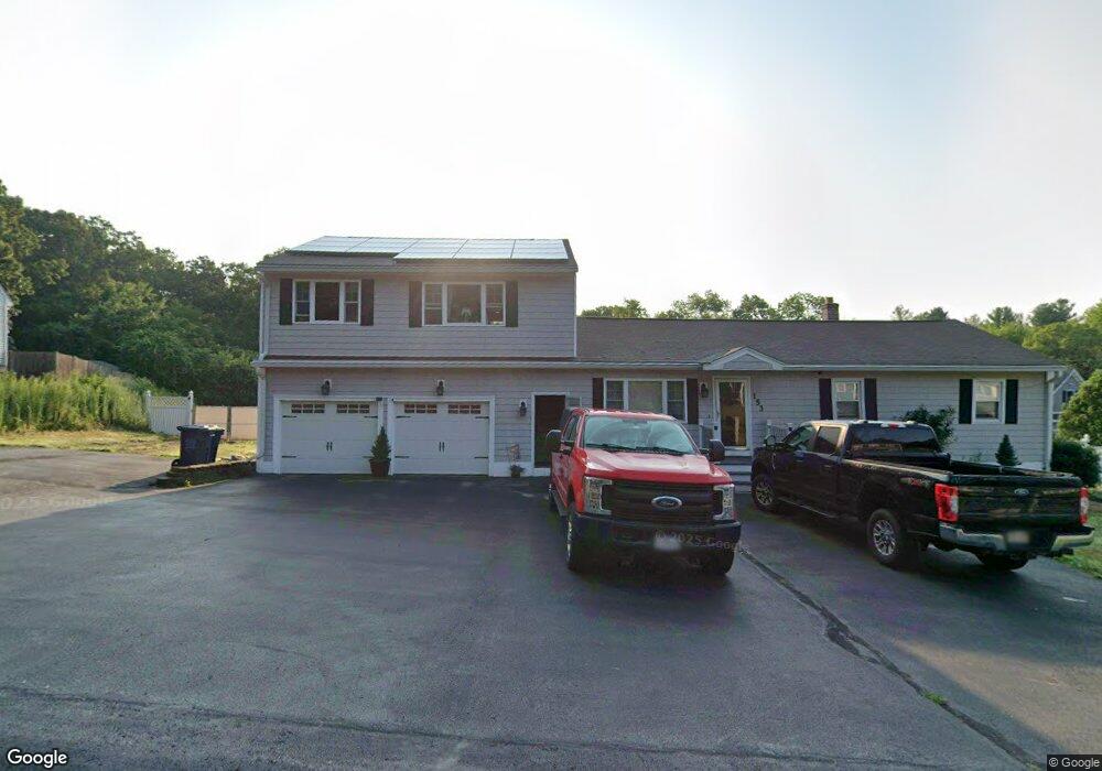
137 Varnum Ave Dracut, MA 01826
Estimated Value: $639,000 - $788,000
3
Beds
2
Baths
2,170
Sq Ft
$326/Sq Ft
Est. Value
About This Home
This home is located at 137 Varnum Ave, Dracut, MA 01826 and is currently estimated at $707,712, approximately $326 per square foot. 137 Varnum Ave is a home located in Middlesex County with nearby schools including Joseph A. Campbell Elementary School, Richardson Middle School, and Dracut Senior High School.
Ownership History
Date
Name
Owned For
Owner Type
Purchase Details
Closed on
May 13, 2021
Sold by
Niemaszyk Jason J
Bought by
Niemaszyk Jason J and Niemaszyk Robin
Current Estimated Value
Home Financials for this Owner
Home Financials are based on the most recent Mortgage that was taken out on this home.
Original Mortgage
$150,000
Outstanding Balance
$112,056
Interest Rate
2.4%
Mortgage Type
Stand Alone Refi Refinance Of Original Loan
Estimated Equity
$595,656
Purchase Details
Closed on
Jul 21, 2016
Sold by
Arenas Anwar
Bought by
Niemaszyk Jason J
Purchase Details
Closed on
Feb 4, 1998
Sold by
Bracke Jan A Est
Bought by
Niemaszyk Jason J
Home Financials for this Owner
Home Financials are based on the most recent Mortgage that was taken out on this home.
Original Mortgage
$92,600
Interest Rate
6.95%
Mortgage Type
Purchase Money Mortgage
Create a Home Valuation Report for This Property
The Home Valuation Report is an in-depth analysis detailing your home's value as well as a comparison with similar homes in the area
Home Values in the Area
Average Home Value in this Area
Purchase History
| Date | Buyer | Sale Price | Title Company |
|---|---|---|---|
| Niemaszyk Jason J | -- | None Available | |
| Niemaszyk Jason J | -- | None Available | |
| Niemaszyk Jason J | $20,000 | -- | |
| Niemaszyk Jason J | $97,500 | -- | |
| Niemaszyk Jason J | $97,500 | -- |
Source: Public Records
Mortgage History
| Date | Status | Borrower | Loan Amount |
|---|---|---|---|
| Open | Niemaszyk Jason J | $150,000 | |
| Previous Owner | Niemaszyk Jason J | $128,000 | |
| Previous Owner | Niemaszyk Jason J | $118,500 | |
| Previous Owner | Niemaszyk Jason J | $92,600 |
Source: Public Records
Tax History
| Year | Tax Paid | Tax Assessment Tax Assessment Total Assessment is a certain percentage of the fair market value that is determined by local assessors to be the total taxable value of land and additions on the property. | Land | Improvement |
|---|---|---|---|---|
| 2025 | $7,104 | $702,000 | $247,300 | $454,700 |
| 2024 | $7,106 | $680,000 | $235,700 | $444,300 |
| 2023 | $6,801 | $587,300 | $205,100 | $382,200 |
| 2022 | $6,178 | $502,700 | $187,700 | $315,000 |
| 2021 | $5,977 | $459,400 | $171,600 | $287,800 |
| 2020 | $5,730 | $429,200 | $166,800 | $262,400 |
| 2019 | $4,920 | $357,800 | $159,400 | $198,400 |
| 2018 | $4,607 | $325,800 | $159,400 | $166,400 |
| 2017 | $4,470 | $325,800 | $159,400 | $166,400 |
| 2016 | $4,295 | $289,400 | $153,700 | $135,700 |
| 2015 | $4,168 | $279,200 | $153,700 | $125,500 |
| 2014 | $3,898 | $269,000 | $153,700 | $115,300 |
Source: Public Records
Map
Nearby Homes
- 31 Varnum Ave
- 30 Parker Rd
- 20 Mount Pleasant St
- 84 Tellier Way
- 935 Methuen St Unit 13
- 6 Overlook Dr Unit 403
- 2 Francis Dr Unit 405
- 4 Francis Dr Unit 312
- 4 Francis Dr Unit 207
- 2 Francis Dr Unit 301
- 18 Ravens Bluff
- 29 Stoneybrook Cir
- 8 Ashford Ln
- 81 Merrimack Meadows Ln
- 322 River Rd
- 206 Burnham Rd
- 20 Hood Rd
- 20 Mount Joy Dr
- 11 Joseph Ave
- 2 Greybirch Rd
Your Personal Tour Guide
Ask me questions while you tour the home.