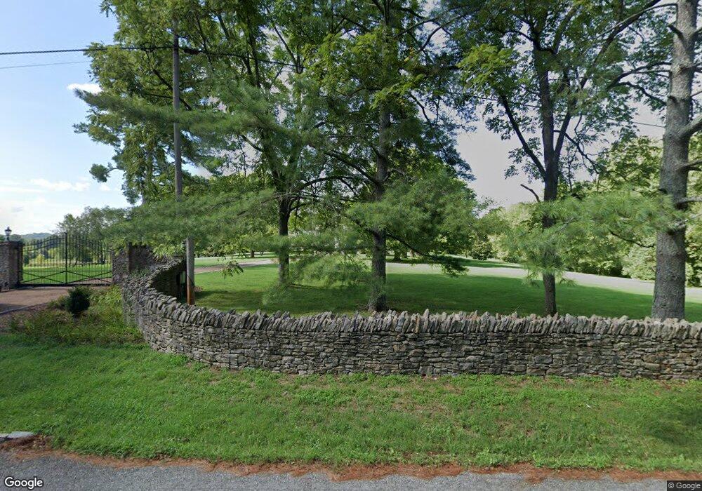
1370 Moran Rd Franklin, TN 37069
Estimated Value: $3,922,000 - $4,655,265
Studio
3
Baths
8,717
Sq Ft
$492/Sq Ft
Est. Value
About This Home
This home is located at 1370 Moran Rd, Franklin, TN 37069 and is currently estimated at $4,288,633, approximately $491 per square foot. 1370 Moran Rd is a home located in Williamson County with nearby schools including Grassland Elementary School, Grassland Middle School, and Franklin High School.
Ownership History
Date
Name
Owned For
Owner Type
Purchase Details
Closed on
Jul 2, 2025
Sold by
Mcfarlin Jim and Mcfarlin Fay
Bought by
Mcfarlin Community Property Trust and Mcfarlin
Current Estimated Value
Purchase Details
Closed on
Apr 12, 2011
Sold by
Livi Schiller Jr Henry Frederick Eric and Livi Mary D Schiller Revocable
Bought by
Mcfarlin Jim and Mcfarlin Fay
Create a Home Valuation Report for This Property
The Home Valuation Report is an in-depth analysis detailing your home's value as well as a comparison with similar homes in the area
Purchase History
| Date | Buyer | Sale Price | Title Company |
|---|---|---|---|
| Mcfarlin Community Property Trust | -- | None Listed On Document | |
| Mcfarlin Jim | $640,000 | None Available |
Source: Public Records
Tax History
| Year | Tax Paid | Tax Assessment Tax Assessment Total Assessment is a certain percentage of the fair market value that is determined by local assessors to be the total taxable value of land and additions on the property. | Land | Improvement |
|---|---|---|---|---|
| 2025 | $13,086 | $1,033,725 | $424,475 | $609,250 |
| 2024 | $13,086 | $696,075 | $212,250 | $483,825 |
| 2023 | $13,086 | $696,075 | $212,250 | $483,825 |
| 2022 | $13,086 | $696,075 | $212,250 | $483,825 |
| 2021 | $13,086 | $696,075 | $212,250 | $483,825 |
| 2020 | $12,888 | $580,550 | $141,500 | $439,050 |
| 2019 | $12,888 | $580,550 | $141,500 | $439,050 |
| 2018 | $12,482 | $580,550 | $141,500 | $439,050 |
| 2017 | $12,482 | $580,550 | $141,500 | $439,050 |
| 2016 | $0 | $580,550 | $141,500 | $439,050 |
| 2015 | -- | $409,700 | $83,425 | $326,275 |
| 2014 | -- | $409,700 | $83,425 | $326,275 |
Source: Public Records
Map
Nearby Homes
- 2006 Boxwood Dr
- 2496 Old Natchez Trace
- 116 Gardengate Dr
- 206 Gardenridge Dr
- 1015 Boxwood Dr
- 1009 Boxwood Dr
- 1008 Boxwood Dr
- 2418 Mcintyre Ct
- 2410 Hidden River Ln
- 149 Boxwood Dr Unit 149
- 2109 Key Dr
- 1224 Waterstone Blvd
- 1462 Sneed Rd W
- 1065 Stockett Dr
- 1019 Stockett Dr
- 1059 Stockett Dr
- 360 Vaughn Rd
- 3004 Strickland Dr
- 1119 Harpeth Ridge Rd
- 298 Gillette Dr
Your Personal Tour Guide
Ask me questions while you tour the home.