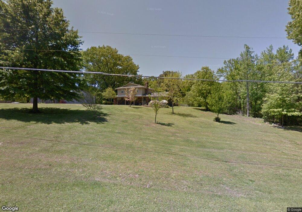
1371 Aday Rd Nesbit, MS 38651
Estimated Value: $309,000 - $432,000
4
Beds
--
Bath
2,878
Sq Ft
$130/Sq Ft
Est. Value
About This Home
This home is located at 1371 Aday Rd, Nesbit, MS 38651 and is currently estimated at $375,224, approximately $130 per square foot. 1371 Aday Rd is a home located in DeSoto County with nearby schools including DeSoto Central Primary School, DeSoto Central Elementary School, and DeSoto Central Middle School.
Ownership History
Date
Name
Owned For
Owner Type
Purchase Details
Closed on
May 30, 2018
Sold by
Pike Keith P and Pike Shelly B
Bought by
Ferrell Steven T and Ferrell Kelliann
Current Estimated Value
Home Financials for this Owner
Home Financials are based on the most recent Mortgage that was taken out on this home.
Original Mortgage
$5,302
Outstanding Balance
$1,556
Interest Rate
4.5%
Mortgage Type
New Conventional
Estimated Equity
$373,668
Create a Home Valuation Report for This Property
The Home Valuation Report is an in-depth analysis detailing your home's value as well as a comparison with similar homes in the area
Home Values in the Area
Average Home Value in this Area
Purchase History
| Date | Buyer | Sale Price | Title Company |
|---|---|---|---|
| Ferrell Steven T | -- | Select Title |
Source: Public Records
Mortgage History
| Date | Status | Borrower | Loan Amount |
|---|---|---|---|
| Open | Ferrell Steven T | $5,302 | |
| Open | Ferrell Steven T | $176,739 |
Source: Public Records
Tax History
| Year | Tax Paid | Tax Assessment Tax Assessment Total Assessment is a certain percentage of the fair market value that is determined by local assessors to be the total taxable value of land and additions on the property. | Land | Improvement |
|---|---|---|---|---|
| 2025 | $2,255 | $21,932 | $1,800 | $20,132 |
| 2024 | $1,886 | $15,759 | $1,800 | $13,959 |
| 2023 | $1,886 | $15,759 | $0 | $0 |
| 2022 | $1,886 | $15,759 | $1,800 | $13,959 |
| 2021 | $1,886 | $15,759 | $1,800 | $13,959 |
| 2020 | $1,731 | $14,641 | $1,800 | $12,841 |
| 2019 | $1,731 | $14,641 | $1,800 | $12,841 |
| 2017 | $1,693 | $26,776 | $14,288 | $12,488 |
| 2016 | $1,609 | $14,288 | $1,800 | $12,488 |
| 2015 | $1,909 | $26,776 | $14,288 | $12,488 |
| 2014 | $1,564 | $14,288 | $0 | $0 |
| 2013 | $1,534 | $14,288 | $0 | $0 |
Source: Public Records
Map
Nearby Homes
- 3049 Pleasant Hill Rd
- 1768 Linden Dr
- 3456 Susie Cir
- 3770 Malone Rd
- 3771 Malone Rd
- 1721 Baisley Dr
- Lot 99 Baisley Dr
- 1811 Baisley Dr
- 1835 Baisley Dr
- 1722 Baisley Dr
- 4055 Bakersfield Dr
- 4209 Edison Dr
- Lot 107 Brooke Dr
- 4232 Brooke Dr
- 1735 Bakersfield Way
- 4276 Brooke Dr
- 1755 Bakersfield Way
- 1694 Bakersfield Way
- 1716 Bakersfield Way
- 1762 Bakersfield Way
- 1301 Aday Rd
- 1433 Aday Rd
- 3157 Pleasant Hill Rd
- 1374 Aday Rd
- 1438 Aday Rd
- 1240 Aday Rd
- 3356 Glenwood Dr
- 3163 Pleasant Hill Rd
- 1450 Getwell Rd
- 3371 Glenwood Dr
- 1501 Aday Rd
- 3153 Pleasant Hill Rd
- 1504 Aday Rd
- 3400 Glenwood Dr
- 1188 Getwell Rd
- 3155 Pleasant Hill Rd
- 3151 Pleasant Hill Rd
- 3241 Pleasant Hill Rd
- 1574 Aday Rd
- 3451 Glenwood Dr
Your Personal Tour Guide
Ask me questions while you tour the home.