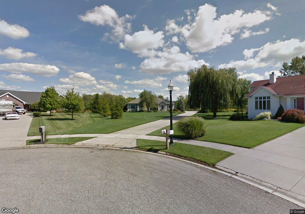
1372 Innisbrook Ct Holland, MI 49423
Holland Heights NeighborhoodEstimated Value: $453,000 - $573,086
3
Beds
4
Baths
1,952
Sq Ft
$260/Sq Ft
Est. Value
About This Home
This home is located at 1372 Innisbrook Ct, Holland, MI 49423 and is currently estimated at $507,522, approximately $260 per square foot. 1372 Innisbrook Ct is a home located in Ottawa County with nearby schools including Holland Heights Elementary, Maplewood, and Holland High School.
Ownership History
Date
Name
Owned For
Owner Type
Purchase Details
Closed on
Nov 27, 2017
Sold by
Ten Harmsel Mary Ann and Ten Harmsel Mary A
Bought by
Ten Harmsel Mary Ann and Mary Ann Ten Harmsel Trust
Current Estimated Value
Purchase Details
Closed on
Oct 23, 2017
Sold by
Harmsel Gary J Ten
Bought by
Harmsel Mary Ten
Purchase Details
Closed on
Dec 14, 2016
Sold by
Harmsel Mary A Ten and Harmsel Hamsel J
Bought by
Harmsel Mary Ann Ten and The Mary Ann Ten Harmsel Trust
Purchase Details
Closed on
Aug 31, 1993
Sold by
Ten Harmsel Gary J
Create a Home Valuation Report for This Property
The Home Valuation Report is an in-depth analysis detailing your home's value as well as a comparison with similar homes in the area
Home Values in the Area
Average Home Value in this Area
Purchase History
| Date | Buyer | Sale Price | Title Company |
|---|---|---|---|
| Ten Harmsel Mary Ann | -- | None Available | |
| Harmsel Mary Ten | -- | None Available | |
| Harmsel Mary Ann Ten | -- | Attorney | |
| -- | $56,000 | -- |
Source: Public Records
Tax History Compared to Growth
Tax History
| Year | Tax Paid | Tax Assessment Tax Assessment Total Assessment is a certain percentage of the fair market value that is determined by local assessors to be the total taxable value of land and additions on the property. | Land | Improvement |
|---|---|---|---|---|
| 2025 | $6,699 | $300,800 | $0 | $0 |
| 2024 | $6,463 | $245,300 | $0 | $0 |
| 2023 | $6,230 | $242,400 | $0 | $0 |
| 2022 | $5,949 | $221,500 | $0 | $0 |
| 2021 | $5,785 | $204,600 | $0 | $0 |
| 2020 | $5,775 | $188,200 | $0 | $0 |
| 2019 | $5,822 | $176,700 | $0 | $0 |
| 2018 | $5,474 | $175,800 | $0 | $0 |
| 2017 | $5,311 | $175,800 | $0 | $0 |
| 2016 | $5,311 | $158,000 | $0 | $0 |
| 2015 | $5,145 | $146,700 | $0 | $0 |
| 2014 | $5,145 | $134,600 | $0 | $0 |
Source: Public Records
Map
Nearby Homes
- 1380 E Point Ridge
- 302 Northeast Crossing
- 1214 Euna Vista Dr
- 270 Brook Lane Ave
- 205 Jennifer Ln
- 403 Stratford Way
- 1016 E 12th St
- 10234 Summerwood Dr
- 300 Farington Blvd Unit 31
- Lot 17 of Peppermint Dr
- Lot 16 Peppermint Dr
- 891 Harvard Dr
- Lot 15 Peppermint Dr
- Lot 17 Peppermint Dr
- 1818 104th Ave
- 10593 Sugar Hill Dr
- 1554 Shenandoah Dr
- VL Ottogan St
- 955 Kenwood Dr
- 866 E 24th St Unit Parcel A
- 1373 Innisbrook Ct
- 1370 Innisbrook Ct
- 1371 E Point Ridge Unit 4
- 1364 Innisbrook Ct
- 1369 E Point Ridge
- 1367 E Point Ridge
- 1367 E Point Ridge Unit 6
- 1024 Quarterline Rd
- 1 E Point Ridge
- 25 E Point Ridge
- 5 E Point Ridge
- 1365 E Point Ridge Unit 7
- 1376 E Point Ridge Unit 19
- 1373 E Point Ridge Unit 3
- 1374 E Point Ridge
- 1374 E Point Ridge Unit 18
- 1365 Innisbrook Ct
- 1378 E Point Ridge Unit 20
- 1375 E Point Ridge
- 1377 E Point Ridge