1373 Groop Rd Springfield, OH 45504
Cedar Hills/Broadview NeighborhoodEstimated Value: $542,000 - $600,896
4
Beds
4
Baths
3,354
Sq Ft
$172/Sq Ft
Est. Value
About This Home
This home is located at 1373 Groop Rd, Springfield, OH 45504 and is currently estimated at $576,974, approximately $172 per square foot. 1373 Groop Rd is a home located in Clark County with nearby schools including Northwestern Elementary School and Northwestern Junior/Senior High School.
Ownership History
Date
Name
Owned For
Owner Type
Purchase Details
Closed on
Nov 16, 2007
Sold by
American Residential Construction Inc
Bought by
Dolwick Terry R and Dolwick Sarah K
Current Estimated Value
Home Financials for this Owner
Home Financials are based on the most recent Mortgage that was taken out on this home.
Original Mortgage
$237,925
Interest Rate
6.47%
Mortgage Type
Purchase Money Mortgage
Create a Home Valuation Report for This Property
The Home Valuation Report is an in-depth analysis detailing your home's value as well as a comparison with similar homes in the area
Home Values in the Area
Average Home Value in this Area
Purchase History
| Date | Buyer | Sale Price | Title Company |
|---|---|---|---|
| Dolwick Terry R | $317,400 | Rels Title |
Source: Public Records
Mortgage History
| Date | Status | Borrower | Loan Amount |
|---|---|---|---|
| Closed | Dolwick Terry R | $237,925 |
Source: Public Records
Tax History
| Year | Tax Paid | Tax Assessment Tax Assessment Total Assessment is a certain percentage of the fair market value that is determined by local assessors to be the total taxable value of land and additions on the property. | Land | Improvement |
|---|---|---|---|---|
| 2025 | $7,971 | $185,580 | $19,060 | $166,520 |
| 2024 | $7,971 | $165,610 | $15,640 | $149,970 |
| 2023 | $7,572 | $165,610 | $15,640 | $149,970 |
| 2022 | $7,780 | $165,610 | $15,640 | $149,970 |
| 2021 | $6,724 | $127,200 | $11,940 | $115,260 |
| 2020 | $6,553 | $122,830 | $11,940 | $110,890 |
| 2019 | $6,492 | $122,830 | $11,940 | $110,890 |
| 2018 | $5,296 | $98,480 | $10,850 | $87,630 |
| 2017 | $5,299 | $98,476 | $10,850 | $87,626 |
| 2016 | $5,194 | $98,476 | $10,850 | $87,626 |
| 2015 | $5,097 | $96,754 | $10,850 | $85,904 |
| 2014 | $5,095 | $96,754 | $10,850 | $85,904 |
| 2013 | $5,060 | $96,754 | $10,850 | $85,904 |
Source: Public Records
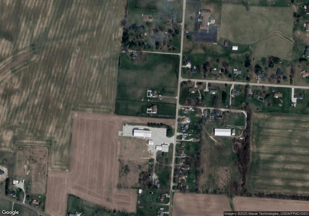
Map
Nearby Homes
- 4461 New Carlisle Pike
- 929 N Tecumseh Rd
- 3891 New Carlisle Pike
- 4909 Shannon Ave
- 624 Aberfelda Dr
- 195 N Tecumseh Rd
- 4638 W National Rd
- 1650 Cranbrook Dr
- 3305 Turner Dr E
- 3314 Scotsdale Dr
- 2137 Manhattan Blvd
- 128 Ravenwood Dr
- 917 White Oak Dr
- 2639 Anita Dr
- 925 Upper Valley Pike
- 2805 Cottonwood Dr
- 124 Old Mill Rd
- 1559 Folk Ream Rd
- 2743 Ironwood Dr
- 2705 Ash Dr
- 1429 Groop Rd
- 1451 Groop Rd
- 1320 Groop Rd
- 1310 Groop Rd
- 1300 Groop Rd
- 4439 Cedar Hills Ave
- 1248 Groop Rd
- 1240 Groop Rd
- 1330 Groop Rd
- 1232 Groop Rd
- 1475 Groop Rd
- 4440 Cedar Hills Ave
- 4421 Cedar Hills Ave
- 1224 Groop Rd
- 1216 Groop Rd
- 1483 Groop Rd
- 1332 Groop Rd
- 4422 Cedar Hills Ave
- 1201 Groop Rd
- 1208 Groop Rd
Your Personal Tour Guide
Ask me questions while you tour the home.