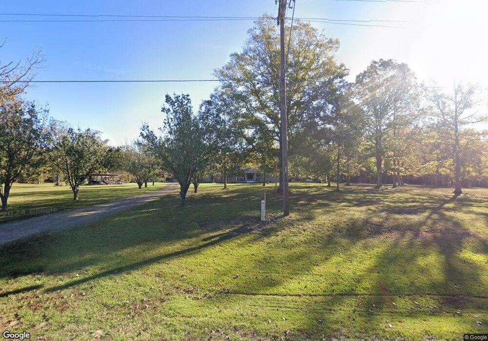
1373 Wade Patrick Rd Brandon, MS 39042
Estimated Value: $296,824 - $353,000
3
Beds
2
Baths
1,946
Sq Ft
$170/Sq Ft
Est. Value
About This Home
This home is located at 1373 Wade Patrick Rd, Brandon, MS 39042 and is currently estimated at $329,941, approximately $169 per square foot. 1373 Wade Patrick Rd is a home located in Rankin County with nearby schools including McLaurin Elementary School.
Ownership History
Date
Name
Owned For
Owner Type
Purchase Details
Closed on
May 4, 2020
Sold by
Nelson Perry W and Nelson Geneva B
Bought by
Bennett Billy G and Bennett Tina R
Current Estimated Value
Home Financials for this Owner
Home Financials are based on the most recent Mortgage that was taken out on this home.
Original Mortgage
$188,522
Interest Rate
3.5%
Mortgage Type
Stand Alone Refi Refinance Of Original Loan
Create a Home Valuation Report for This Property
The Home Valuation Report is an in-depth analysis detailing your home's value as well as a comparison with similar homes in the area
Purchase History
| Date | Buyer | Sale Price | Title Company |
|---|---|---|---|
| Bennett Billy G | -- | None Available |
Source: Public Records
Mortgage History
| Date | Status | Borrower | Loan Amount |
|---|---|---|---|
| Open | Bennett Billy G | $211,640 | |
| Closed | Bennett Billy G | $188,522 |
Source: Public Records
Tax History
| Year | Tax Paid | Tax Assessment Tax Assessment Total Assessment is a certain percentage of the fair market value that is determined by local assessors to be the total taxable value of land and additions on the property. | Land | Improvement |
|---|---|---|---|---|
| 2025 | $867 | $11,608 | $0 | $0 |
| 2024 | $846 | $11,608 | $0 | $0 |
| 2023 | $755 | $10,687 | $0 | $0 |
| 2022 | $739 | $10,690 | $0 | $0 |
| 2021 | $767 | $10,979 | $0 | $0 |
| 2020 | $245 | $11,128 | $0 | $0 |
| 2019 | $246 | $9,943 | $0 | $0 |
| 2018 | $239 | $9,943 | $0 | $0 |
| 2017 | $236 | $9,913 | $0 | $0 |
| 2016 | $134 | $8,941 | $0 | $0 |
| 2015 | $99 | $8,565 | $0 | $0 |
| 2014 | $94 | $8,538 | $0 | $0 |
| 2013 | -- | $8,512 | $0 | $0 |
Source: Public Records
Map
Nearby Homes
- 0 Easy St
- 1105 Rock Hill Rd
- 1100 Rock Hill Rd
- 128 Oak Tree Ln
- 1264 Shell Oil Rd
- J05 Red Light Rd
- 4167 Highway 18
- 0 Saint John Rd Unit 4140000
- 0 Bill Hubbard Rd Unit 26421084
- 0 Bill Hubbard Rd
- 4016 Highway 18
- Clara Foote Rd
- 0 Clara Foote Rd
- 0 Donna Ashley St
- 0 Joe Davis Dr
- Johns Shilow Rd
- 308 Stronghold Dr
- 310 Stronghold Dr
- 217 New Haven Ln
- 305 Stronghold Dr
- 1389 Wade Patrick Rd
- 1363 Wade Patrick Rd
- 1372 Wade Patrick Rd
- 1364 Wade Patrick Rd
- 1357 Wade Patrick Rd
- 1351 Wade Patrick Rd
- 1395 Wade Patrick Rd
- 1341 Wade Patrick Rd
- 124 Deer Trail
- 1337 Wade Patrick Rd
- 1414 Wade Patrick Rd
- 1331 Wade Patrick Rd
- 118 Deer Trail
- 118 Deer Trail
- 00 Deer Tr
- 1424 Wade Patrick Rd
- 126 Deer Trail
- 114 Jade Dr
- 1322 Wade Patrick Rd
- 1428 Wade Patrick Rd
Your Personal Tour Guide
Ask me questions while you tour the home.