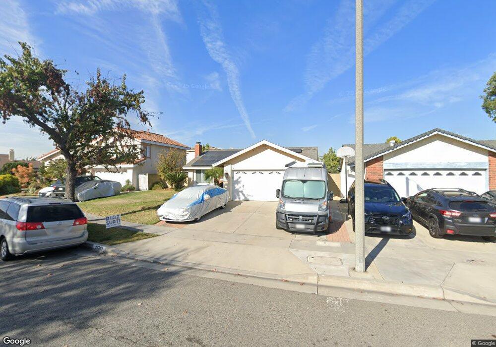
13743 Ashworth Cir Cerritos, CA 90703
Estimated Value: $1,054,752 - $1,141,000
3
Beds
2
Baths
1,200
Sq Ft
$922/Sq Ft
Est. Value
About This Home
This home is located at 13743 Ashworth Cir, Cerritos, CA 90703 and is currently estimated at $1,106,438, approximately $922 per square foot. 13743 Ashworth Cir is a home located in Los Angeles County with nearby schools including Cerritos Elementary School, Carmenita Middle School, and Cerritos High School.
Ownership History
Date
Name
Owned For
Owner Type
Purchase Details
Closed on
Jul 20, 2010
Sold by
Diesko Rosemarie A and The Diesko Trust
Bought by
Hong Phil and Hong Allison
Current Estimated Value
Home Financials for this Owner
Home Financials are based on the most recent Mortgage that was taken out on this home.
Original Mortgage
$417,000
Outstanding Balance
$274,317
Interest Rate
4.52%
Mortgage Type
New Conventional
Estimated Equity
$832,121
Create a Home Valuation Report for This Property
The Home Valuation Report is an in-depth analysis detailing your home's value as well as a comparison with similar homes in the area
Home Values in the Area
Average Home Value in this Area
Purchase History
| Date | Buyer | Sale Price | Title Company |
|---|---|---|---|
| Hong Phil | $549,000 | Chicago Title Company |
Source: Public Records
Mortgage History
| Date | Status | Borrower | Loan Amount |
|---|---|---|---|
| Open | Hong Phil | $417,000 |
Source: Public Records
Tax History Compared to Growth
Tax History
| Year | Tax Paid | Tax Assessment Tax Assessment Total Assessment is a certain percentage of the fair market value that is determined by local assessors to be the total taxable value of land and additions on the property. | Land | Improvement |
|---|---|---|---|---|
| 2025 | $8,260 | $703,355 | $447,125 | $256,230 |
| 2024 | $8,260 | $689,564 | $438,358 | $251,206 |
| 2023 | $7,986 | $676,044 | $429,763 | $246,281 |
| 2022 | $7,864 | $662,789 | $421,337 | $241,452 |
| 2021 | $7,681 | $649,794 | $413,076 | $236,718 |
| 2019 | $7,502 | $630,523 | $400,825 | $229,698 |
| 2018 | $6,956 | $618,161 | $392,966 | $225,195 |
| 2016 | $6,688 | $594,158 | $377,707 | $216,451 |
| 2015 | $6,602 | $585,234 | $372,034 | $213,200 |
| 2014 | $6,466 | $573,771 | $364,747 | $209,024 |
Source: Public Records
Map
Nearby Homes
- 18517 Betty Way
- 13210 Sutton St
- 13370 Holly Oak Cir
- 18006 Point Conception Place
- 7152 Caprice Cir
- 13044 Hedda Ln
- 13010 Artesia Blvd
- 19118 Martha Ave
- 13548 Village Dr Unit A
- 19008 Jeffrey Ave
- 5568 Ozawa Cir
- 5686 Panama Dr
- 6861 Frost Cir
- 7571 San Rafael Dr
- 12567 Semora St
- 12525 Semora St
- 12711 Castleford Ln
- 5072 Alder Ln
- 19335 Derbyshire Ln
- 12967 Moorshire Dr
- 13749 Ashworth Cir
- 13737 Ashworth Cir
- 13734 Felson St
- 13728 Felson St
- 13740 Felson St
- 13735 Ashworth Cir
- 13724 Felson St
- 13746 Ashworth Cir
- 13750 Ashworth Cir
- 13732 Ashworth Cir
- 13740 Ashworth Cir
- 13718 Felson St
- 17818 Antonio Ave
- 17808 Antonio Ave
- 13736 Ashworth Cir
- 17802 Antonio Ave
- 17906 Gerritt Place
- 17902 Antonio Ave
- 17741 Antonio Ave
- 13712 Felson St