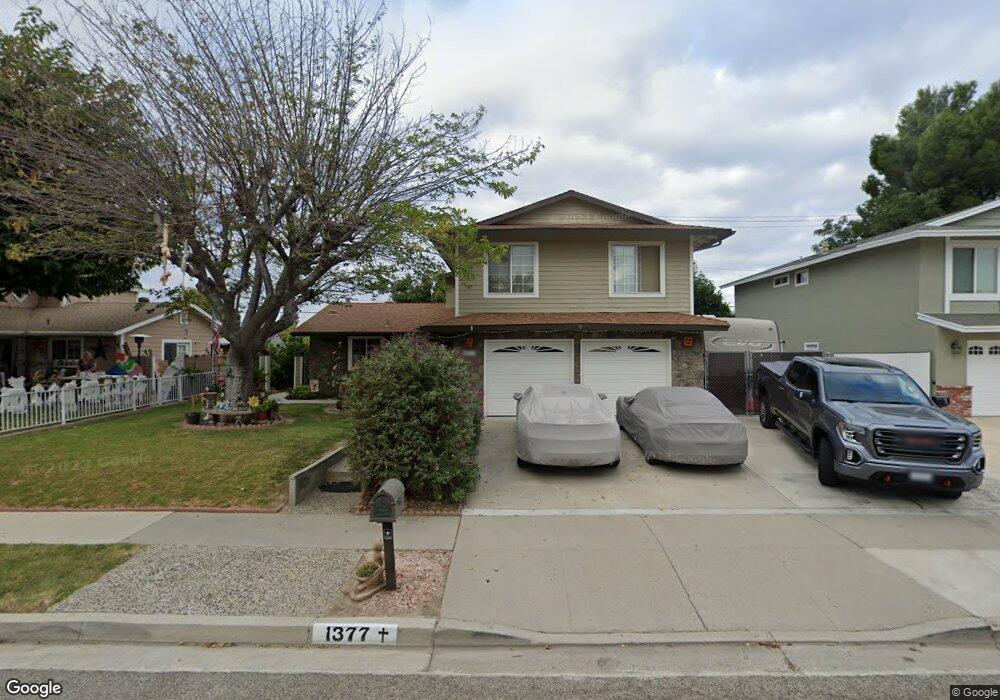
1377 Harold Ave Simi Valley, CA 93065
Central Simi Valley NeighborhoodEstimated Value: $744,974 - $881,000
4
Beds
3
Baths
1,818
Sq Ft
$448/Sq Ft
Est. Value
About This Home
This home is located at 1377 Harold Ave, Simi Valley, CA 93065 and is currently estimated at $813,744, approximately $447 per square foot. 1377 Harold Ave is a home located in Ventura County with nearby schools including Crestview Elementary School, Hillside Middle School, and Royal High School.
Ownership History
Date
Name
Owned For
Owner Type
Purchase Details
Closed on
Aug 17, 2006
Sold by
Smith Michael A and Short Smith Linda M
Bought by
Smith Michael A and Short Smith Linda M
Current Estimated Value
Purchase Details
Closed on
Nov 19, 2001
Sold by
Smith Michael A
Bought by
Smith Michael A and Short Smith Linda M
Home Financials for this Owner
Home Financials are based on the most recent Mortgage that was taken out on this home.
Original Mortgage
$132,500
Interest Rate
6.73%
Create a Home Valuation Report for This Property
The Home Valuation Report is an in-depth analysis detailing your home's value as well as a comparison with similar homes in the area
Home Values in the Area
Average Home Value in this Area
Purchase History
| Date | Buyer | Sale Price | Title Company |
|---|---|---|---|
| Smith Michael A | -- | None Available | |
| Smith Michael A | -- | Equity Title |
Source: Public Records
Mortgage History
| Date | Status | Borrower | Loan Amount |
|---|---|---|---|
| Closed | Smith Michael A | $132,500 |
Source: Public Records
Tax History
| Year | Tax Paid | Tax Assessment Tax Assessment Total Assessment is a certain percentage of the fair market value that is determined by local assessors to be the total taxable value of land and additions on the property. | Land | Improvement |
|---|---|---|---|---|
| 2025 | $3,016 | $215,258 | $75,333 | $139,925 |
| 2024 | $3,016 | $211,038 | $73,856 | $137,182 |
| 2023 | $2,832 | $206,900 | $72,407 | $134,493 |
| 2022 | $2,794 | $202,844 | $70,988 | $131,856 |
| 2021 | $2,749 | $198,867 | $69,596 | $129,271 |
| 2020 | $2,676 | $196,831 | $68,884 | $127,947 |
| 2019 | $2,550 | $192,973 | $67,534 | $125,439 |
| 2018 | $2,512 | $189,190 | $66,210 | $122,980 |
| 2017 | $2,443 | $185,481 | $64,912 | $120,569 |
| 2016 | $2,327 | $181,845 | $63,640 | $118,205 |
| 2015 | $2,265 | $179,116 | $62,685 | $116,431 |
| 2014 | -- | $175,609 | $61,458 | $114,151 |
Source: Public Records
Map
Nearby Homes
- 2407 Elizondo Ave
- 1387 Cherry Ave
- 2267 Morley St
- 2783 Fallon Cir
- 1558 Ysrella Ave
- 2165 Malcolm St
- 1843 Garvin Ave
- 2490 Invar Ct
- 2095 Morley St
- 2405 Lee St
- 2399 Lee St
- 2915 Deacon St Unit 17
- 2136 Rosecrans St
- 2820 Rock St
- 2025 Royal Ave
- 2643 Dusan St
- 1750 Pope Ave
- 1091 Vallejo Ave
- 1904 Heywood St Unit L
- 1932 Heywood St Unit B
- 1365 Harold Ave
- 1389 Harold Ave
- 1359 Harold Ave
- 1364 Harold Ave
- 1376 Harold Ave
- 1358 Harold Ave
- 1347 Harold Ave
- 2425 Elizondo Ave
- 1346 Harold Ave
- 2417 Elizondo Ave
- 2437 Elizondo Ave
- 1379 Sawyer Ave
- 2415 Elizondo Ave
- 1367 Sawyer Ave
- 1391 Sawyer Ave
- 1335 Harold Ave
- 1334 Harold Ave
- 1361 Sawyer Ave
- 2449 Elizondo Ave
- 2411 Elizondo Ave
Your Personal Tour Guide
Ask me questions while you tour the home.