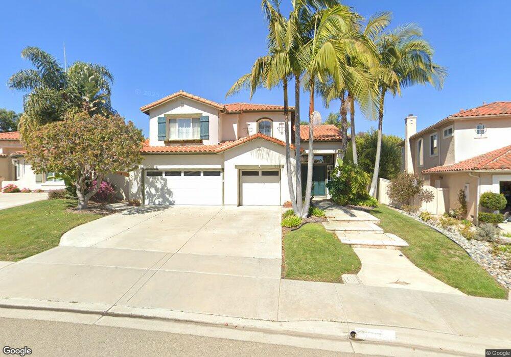
1378 Sparrow Rd Carlsbad, CA 92011
Aviara NeighborhoodEstimated Value: $1,984,000 - $2,129,000
5
Beds
4
Baths
2,848
Sq Ft
$724/Sq Ft
Est. Value
About This Home
This home is located at 1378 Sparrow Rd, Carlsbad, CA 92011 and is currently estimated at $2,061,036, approximately $723 per square foot. 1378 Sparrow Rd is a home located in San Diego County with nearby schools including Aviara Oaks Elementary, Aviara Oaks Middle, and Sage Creek High.
Ownership History
Date
Name
Owned For
Owner Type
Purchase Details
Closed on
Oct 30, 1995
Sold by
Greystone Homes Inc
Bought by
Buc Michael J and Buc Joan F
Current Estimated Value
Home Financials for this Owner
Home Financials are based on the most recent Mortgage that was taken out on this home.
Original Mortgage
$231,300
Outstanding Balance
$3,208
Interest Rate
7.51%
Estimated Equity
$2,057,828
Create a Home Valuation Report for This Property
The Home Valuation Report is an in-depth analysis detailing your home's value as well as a comparison with similar homes in the area
Home Values in the Area
Average Home Value in this Area
Purchase History
| Date | Buyer | Sale Price | Title Company |
|---|---|---|---|
| Buc Michael J | $289,500 | First American Title |
Source: Public Records
Mortgage History
| Date | Status | Borrower | Loan Amount |
|---|---|---|---|
| Open | Buc Michael J | $231,300 |
Source: Public Records
Tax History
| Year | Tax Paid | Tax Assessment Tax Assessment Total Assessment is a certain percentage of the fair market value that is determined by local assessors to be the total taxable value of land and additions on the property. | Land | Improvement |
|---|---|---|---|---|
| 2025 | $5,573 | $527,941 | $132,886 | $395,055 |
| 2024 | $5,573 | $517,590 | $130,281 | $387,309 |
| 2023 | $5,543 | $507,442 | $127,727 | $379,715 |
| 2022 | $5,457 | $497,493 | $125,223 | $372,270 |
| 2021 | $5,415 | $487,739 | $122,768 | $364,971 |
| 2020 | $5,379 | $482,739 | $121,510 | $361,229 |
| 2019 | $5,282 | $473,275 | $119,128 | $354,147 |
| 2018 | $5,084 | $463,996 | $116,793 | $347,203 |
| 2017 | $5,009 | $454,899 | $114,503 | $340,396 |
| 2016 | $4,804 | $445,980 | $112,258 | $333,722 |
| 2015 | $4,784 | $439,282 | $110,572 | $328,710 |
| 2014 | $5,247 | $430,679 | $108,407 | $322,272 |
Source: Public Records
Map
Nearby Homes
- 6647 Thrasher Place
- 7128 Tatler Rd
- 6795 Palermi Place
- 7100 Surfbird Cir
- 7139 Surfbird Cir
- 7215 Daffodil Place
- 7185 Aviara Dr
- 1028 Daisy Ave
- 6707 Blue Point Dr
- 907 Hickory Ct Unit 5
- 6419 Alexandri Cir
- 1634 Fairlead Ave
- 6976 Batiquitos Dr
- 1702 Fairlead Ave
- 7302 Golden Star Ln
- 1667 Plover Ct
- 857 Violet Ct
- 7185 Tern Place
- 1747 Oriole Ct
- 1341 Mallard Ct
- 1374 Sarrow Rd
- 1374 SPARR Sarrow Rd
- 1374 Sparrow Rd
- 1373 Nightshade Rd
- 1386 Sparrow Rd
- 1377 Nightshade Rd
- 1367 Nightshade Rd Unit 3
- 1379 Nightshade Rd
- 6618 Vireo Ct
- 6614 Vireo Ct
- 1377 Sparrow Rd
- 1373 Sparrow Rd
- 6610 Vireo Ct
- 1381 Sparrow Rd
- 1359 Nightshade Rd
- 1367 Sparrow Rd
- 6606 Vireo Ct
- 1355 Nightshade Rd
- 6625 Towhee Ln
- 6606 Towhee Ln
Your Personal Tour Guide
Ask me questions while you tour the home.