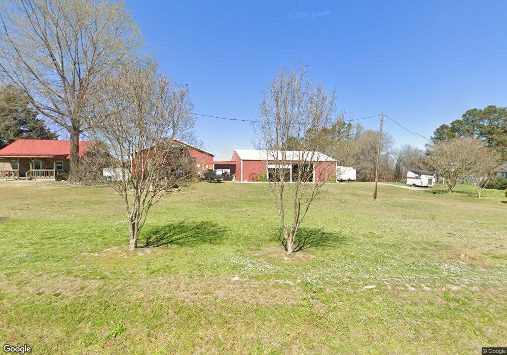
1378 Stephenson Rd Benson, NC 27504
Elevation NeighborhoodEstimated Value: $322,000 - $389,000
3
Beds
2
Baths
1,664
Sq Ft
$207/Sq Ft
Est. Value
About This Home
This home is located at 1378 Stephenson Rd, Benson, NC 27504 and is currently estimated at $343,992, approximately $206 per square foot. 1378 Stephenson Rd is a home with nearby schools including McGee's Crossroads Elementary School, McGee's Crossroads Middle School, and West Johnston High School.
Ownership History
Date
Name
Owned For
Owner Type
Purchase Details
Closed on
Dec 11, 2020
Sold by
Clifton Charles D and Clifton Sherry S
Bought by
Jones Creek Llc
Current Estimated Value
Purchase Details
Closed on
May 7, 2020
Sold by
Jones Thomas Paul and Maldonado Jones Vanessa
Bought by
Deberry Romas and Deberry Nakina
Home Financials for this Owner
Home Financials are based on the most recent Mortgage that was taken out on this home.
Original Mortgage
$174,200
Interest Rate
4.37%
Mortgage Type
New Conventional
Create a Home Valuation Report for This Property
The Home Valuation Report is an in-depth analysis detailing your home's value as well as a comparison with similar homes in the area
Home Values in the Area
Average Home Value in this Area
Purchase History
| Date | Buyer | Sale Price | Title Company |
|---|---|---|---|
| Jones Creek Llc | $302,000 | None Available | |
| Deberry Romas | $192,500 | None Available |
Source: Public Records
Mortgage History
| Date | Status | Borrower | Loan Amount |
|---|---|---|---|
| Previous Owner | Deberry Romas | $174,200 |
Source: Public Records
Tax History
| Year | Tax Paid | Tax Assessment Tax Assessment Total Assessment is a certain percentage of the fair market value that is determined by local assessors to be the total taxable value of land and additions on the property. | Land | Improvement |
|---|---|---|---|---|
| 2025 | $1,526 | $285,260 | $97,130 | $188,130 |
| 2024 | $1,021 | $171,080 | $46,140 | $124,940 |
| 2023 | $990 | $171,080 | $46,140 | $124,940 |
| 2022 | $1,021 | $171,080 | $46,140 | $124,940 |
| 2021 | $1,021 | $171,080 | $46,140 | $124,940 |
| 2020 | $1,019 | $290,810 | $165,870 | $124,940 |
| 2019 | $995 | $290,810 | $165,870 | $124,940 |
| 2018 | $871 | $228,370 | $114,770 | $113,600 |
| 2017 | $871 | $228,370 | $114,770 | $113,600 |
| 2016 | $871 | $228,370 | $114,770 | $113,600 |
| 2015 | $871 | $228,370 | $114,770 | $113,600 |
| 2014 | $871 | $228,370 | $114,770 | $113,600 |
Source: Public Records
Map
Nearby Homes
- 1006 Stephenson Rd
- 750 Stephenson Rd
- 9398 N Carolina 50
- 68 Bodacious Ln
- 151 Mills Pond Rd
- 78 Bushel Basket Dr
- 821 Penny Rd
- 235 Highcroft Cir
- 1008 Amanda Ln
- 4221 Zacks Mill Rd
- 41 Quilting Dr Unit 193
- 41 Quilting Dr
- 14 Gallop Rein Cir
- 32 Quilting Dr
- 191 Belmont Farms Dr
- 130 Daniel Farm Dr
- 299 Greenleaf Rd
- 79 Stallion Way
- 491 Highview Dr
- 197 W Paige Wynd Dr
- 1400 Stephenson Rd
- 98 Paint Horse Dr
- 1334 Stephenson Rd
- 1306 Stephenson Rd
- 97 Paint Horse Dr
- 126 Paint Horse Dr
- 254 Beaver Tavern Dr
- 216 Beaver Tavern Dr
- 6 Maddox Cove
- 92 Patterdale Place
- 21 Patterdale Place
- 1260 Stephenson Rd
- 120 Patterdale Place
- 156 Paint Horse Dr
- 155 Paint Horse Dr
- 174 Paint Horse Dr
- 140 Patterdale Place
- 173 Paint Horse Dr
- 1261 Stephenson Rd
- 1455 Stephenson Rd
Your Personal Tour Guide
Ask me questions while you tour the home.