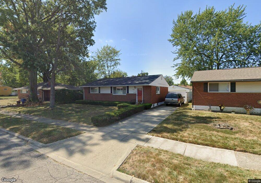
1379 Cunard Rd Columbus, OH 43227
Linwood NeighborhoodEstimated Value: $198,921 - $259,000
3
Beds
1
Bath
1,100
Sq Ft
$200/Sq Ft
Est. Value
About This Home
This home is located at 1379 Cunard Rd, Columbus, OH 43227 and is currently estimated at $220,480, approximately $200 per square foot. 1379 Cunard Rd is a home located in Franklin County with nearby schools including Scottwood Elementary School, Johnson Park Middle School, and Walnut Ridge High School.
Ownership History
Date
Name
Owned For
Owner Type
Purchase Details
Closed on
Jun 12, 2025
Sold by
Calhoun Ann D and Calhoun Michael J
Bought by
Michael And Annie Calhoun Living Trust and Calhoun
Current Estimated Value
Purchase Details
Closed on
Dec 24, 1979
Bought by
Calhoun Michael J and Calhoun Ann D
Create a Home Valuation Report for This Property
The Home Valuation Report is an in-depth analysis detailing your home's value as well as a comparison with similar homes in the area
Home Values in the Area
Average Home Value in this Area
Purchase History
| Date | Buyer | Sale Price | Title Company |
|---|---|---|---|
| Michael And Annie Calhoun Living Trust | -- | None Listed On Document | |
| Calhoun Michael J | $41,700 | -- |
Source: Public Records
Tax History Compared to Growth
Tax History
| Year | Tax Paid | Tax Assessment Tax Assessment Total Assessment is a certain percentage of the fair market value that is determined by local assessors to be the total taxable value of land and additions on the property. | Land | Improvement |
|---|---|---|---|---|
| 2024 | $3,090 | $68,850 | $13,650 | $55,200 |
| 2023 | $3,050 | $68,845 | $13,650 | $55,195 |
| 2022 | $1,861 | $35,880 | $6,930 | $28,950 |
| 2021 | $1,864 | $35,880 | $6,930 | $28,950 |
| 2020 | $1,867 | $35,880 | $6,930 | $28,950 |
| 2019 | $1,786 | $29,440 | $5,780 | $23,660 |
| 2018 | $1,743 | $29,440 | $5,780 | $23,660 |
| 2017 | $1,785 | $29,440 | $5,780 | $23,660 |
| 2016 | $1,876 | $28,320 | $4,970 | $23,350 |
| 2015 | $1,703 | $28,320 | $4,970 | $23,350 |
| 2014 | $1,707 | $28,320 | $4,970 | $23,350 |
| 2013 | $936 | $31,465 | $5,530 | $25,935 |
Source: Public Records
Map
Nearby Homes
- 3566 Seabrook Ave
- 1304 Byron Ave
- 1271 S Weyant Ave
- 3563 Astor Ave
- 3325 Towers Ct S
- 3598 Astor Ave
- 3339 Towers Ct N
- 1664 Barnett Rd
- 3246 E Deshler Ave
- 1624 Miltwood Rd
- 3325 E Deshler Ave
- 3084 Clermont Rd
- 1054 S Hampton Rd
- 1252 Carolwood Ave
- 1294 Dellwood Ave
- 931 E Fulton St
- 1836 Penfield Ct S
- 892 Ruby Ave
- 1254 Elderwood Ave
- 891 S Weyant Ave Unit 893
- 1373 Cunard Rd
- 1391 Cunard Rd
- 3470 Seabrook Ave
- 1365 Cunard Rd
- 3462 Seabrook Ave
- 1374 Picard Rd
- 1368 Picard Rd
- 1360 Picard Rd
- 1359 Cunard Rd
- 1386 Cunard Rd
- 3456 Seabrook Ave
- 3498 Seabrook Ave
- 1352 Picard Rd
- 1351 Cunard Rd
- 3467 Seabrook Ave
- 1413 Cunard Rd
- 1346 Picard Rd
- 3506 Seabrook Ave
- 3459 Seabrook Ave
- 1345 Cunard Rd