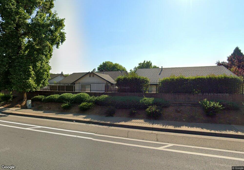
1379 Southfork Trail Redding, CA 96003
Boulder Creek NeighborhoodEstimated Value: $363,000 - $412,000
3
Beds
2
Baths
1,560
Sq Ft
$242/Sq Ft
Est. Value
About This Home
This home is located at 1379 Southfork Trail, Redding, CA 96003 and is currently estimated at $378,171, approximately $242 per square foot. 1379 Southfork Trail is a home located in Shasta County with nearby schools including Boulder Creek Elementary School, Enterprise High School, and Shasta View Academy.
Ownership History
Date
Name
Owned For
Owner Type
Purchase Details
Closed on
May 2, 2000
Sold by
Redwood Shasta Investors Lp
Bought by
Danly Wilma H
Current Estimated Value
Home Financials for this Owner
Home Financials are based on the most recent Mortgage that was taken out on this home.
Original Mortgage
$25,000
Interest Rate
8.25%
Mortgage Type
Purchase Money Mortgage
Purchase Details
Closed on
Apr 18, 2000
Sold by
Risk Paul and Hucke John
Bought by
Redwood Shasta Investors Lp
Home Financials for this Owner
Home Financials are based on the most recent Mortgage that was taken out on this home.
Original Mortgage
$25,000
Interest Rate
8.25%
Mortgage Type
Purchase Money Mortgage
Purchase Details
Closed on
Jan 3, 2000
Sold by
Glasenapp Roy J and Glasenapp Phyllis
Bought by
Risk Paul and Hucke John
Home Financials for this Owner
Home Financials are based on the most recent Mortgage that was taken out on this home.
Original Mortgage
$60,000
Interest Rate
7.72%
Mortgage Type
Construction
Create a Home Valuation Report for This Property
The Home Valuation Report is an in-depth analysis detailing your home's value as well as a comparison with similar homes in the area
Home Values in the Area
Average Home Value in this Area
Purchase History
| Date | Buyer | Sale Price | Title Company |
|---|---|---|---|
| Danly Wilma H | $129,500 | Chicago Title Co | |
| Redwood Shasta Investors Lp | $22,000 | Chicago Title Co | |
| Risk Paul | $22,000 | Chicago Title Co |
Source: Public Records
Mortgage History
| Date | Status | Borrower | Loan Amount |
|---|---|---|---|
| Closed | Danly Wilma H | $25,000 | |
| Previous Owner | Risk Paul | $60,000 | |
| Closed | Risk Paul | $21,500 |
Source: Public Records
Tax History Compared to Growth
Tax History
| Year | Tax Paid | Tax Assessment Tax Assessment Total Assessment is a certain percentage of the fair market value that is determined by local assessors to be the total taxable value of land and additions on the property. | Land | Improvement |
|---|---|---|---|---|
| 2025 | $2,315 | $199,015 | $38,413 | $160,602 |
| 2024 | $2,282 | $195,113 | $37,660 | $157,453 |
| 2023 | $2,282 | $191,288 | $36,922 | $154,366 |
| 2022 | $2,211 | $187,539 | $36,199 | $151,340 |
| 2021 | $2,144 | $183,863 | $35,490 | $148,373 |
| 2020 | $2,135 | $181,979 | $35,127 | $146,852 |
| 2019 | $2,116 | $178,412 | $34,439 | $143,973 |
| 2018 | $2,090 | $174,914 | $33,764 | $141,150 |
| 2017 | $2,123 | $171,485 | $33,102 | $138,383 |
| 2016 | $1,992 | $168,123 | $32,453 | $135,670 |
| 2015 | $1,975 | $165,599 | $31,966 | $133,633 |
| 2014 | $1,956 | $162,356 | $31,340 | $131,016 |
Source: Public Records
Map
Nearby Homes
- 1381 Chaos Walk
- 624 Volcano View Trail
- 790 Volcano View Trail
- 60 Rose Ln
- 866 Fountain Cir
- 667 Reddington Dr
- 19219 Nike Ct
- 654 Rogue River Way
- 592 Mill Valley Pkwy
- 774 Springer Dr
- 2110 Cilantro Dr
- 2147 Edinburgh Way
- 2154 Harvard Way
- 953 Tanglewood Dr
- 550 Armando Ave
- 5663 Terra Linda Way
- 948 & 950 Hawley
- 6572 Jonella Way
- 5589 Trish Ct
- 823 Mission Sierra Ct
- 1359 Southfork Trail
- 1390 Bally Walk
- 315 Yolla Bolly Trail
- 1390 Southfork Trail
- 349 Yolla Bolly Trail
- 1335 Southfork Trail
- 299 Yolla Bolly Trail
- 1368 Southfork Trail
- 1324 Bally Walk
- 383 Yolla Bolly Trail Unit 1
- 383 Yolla Bolly Trail
- 1346 Southfork Trail
- 287 Yolla Bolly Trail
- 399 Yolla Bolly Trail
- 242 Yolla Bolly Trail
- 319 Mammoth Path
- 0 Southfork Trail
- 418 Yolla Bolly Trail
- 1308 Bally Walk
- 265 Yolla Bolly Trail