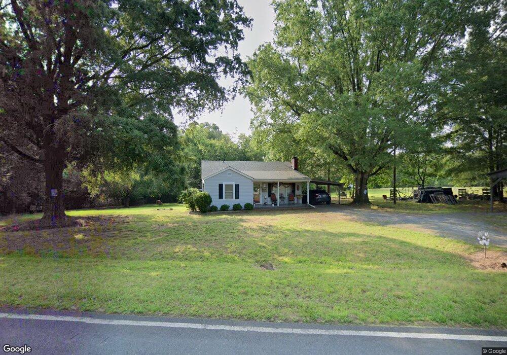
13794 Five Point Rd Locust, NC 28097
Estimated Value: $167,068 - $279,000
2
Beds
1
Bath
1,020
Sq Ft
$210/Sq Ft
Est. Value
About This Home
This home is located at 13794 Five Point Rd, Locust, NC 28097 and is currently estimated at $214,517, approximately $210 per square foot. 13794 Five Point Rd is a home located in Stanly County with nearby schools including Locust Elementary School, West Stanly Middle School, and West Stanly High School.
Ownership History
Date
Name
Owned For
Owner Type
Purchase Details
Closed on
Dec 12, 2013
Sold by
Dulin Richard L and Dulin Bonnie H
Bought by
Dulin David E and Myrtle Kathy D
Current Estimated Value
Create a Home Valuation Report for This Property
The Home Valuation Report is an in-depth analysis detailing your home's value as well as a comparison with similar homes in the area
Home Values in the Area
Average Home Value in this Area
Purchase History
| Date | Buyer | Sale Price | Title Company |
|---|---|---|---|
| Dulin David E | -- | None Available |
Source: Public Records
Tax History
| Year | Tax Paid | Tax Assessment Tax Assessment Total Assessment is a certain percentage of the fair market value that is determined by local assessors to be the total taxable value of land and additions on the property. | Land | Improvement |
|---|---|---|---|---|
| 2025 | $662 | $100,280 | $24,080 | $76,200 |
| 2024 | $539 | $74,928 | $15,480 | $59,448 |
| 2023 | $539 | $74,928 | $15,480 | $59,448 |
| 2022 | $539 | $74,928 | $15,480 | $59,448 |
| 2021 | $539 | $74,928 | $15,480 | $59,448 |
| 2020 | $479 | $62,072 | $13,760 | $48,312 |
| 2019 | $484 | $62,072 | $13,760 | $48,312 |
| 2018 | $484 | $62,072 | $13,760 | $48,312 |
| 2017 | $484 | $62,072 | $13,760 | $48,312 |
| 2016 | $444 | $58,371 | $12,384 | $45,987 |
| 2015 | $448 | $58,371 | $12,384 | $45,987 |
| 2014 | $530 | $58,371 | $12,384 | $45,987 |
Source: Public Records
Map
Nearby Homes
- 00 Bridge Rd
- 12371 Mission Church Rd
- 5001 Paige Rd
- 24910 Birdhouse Ln Unit 1
- Parcel 2 Birdhouse Ln
- Parcel 1 Birdhouse Ln
- 16659 Five Point Rd
- VACANT LAND Pole Running Rd
- 4794 Cauble Rd
- 17427 Purser Dr
- 16138 Substation Rd
- 155 Soft Breeze Bend Unit 286b
- 7210 Mission Rd
- 5835 Crayton Rd
- 00 Sugar Hill Rd
- -- Sugar Hill Rd
- 5885 Crayton Rd
- 11480 N Carolina 73
- 21083 Running Creek Dr
- 21079 Running Creek Dr
- 13801 Five Point Rd
- 13806 Five Point Rd
- 13783 Five Point Rd
- 13761 Five Point Rd
- 13809 Five Point Rd
- 13822 Five Point Rd
- 13748 Five Point Rd
- Vac Five Point Rd Unit 6
- Vac Five Point Rd
- 13743 Five Point Rd
- 13710 Five Point Rd
- 13753 Five Point Rd
- 0000 Bridge Rd
- 0 Bridge Rd
- 0000 Bridge Rd Unit 4
- 13709 Five Point Rd
- 13697 Five Point Rd
- 13856 Five Point Rd
- 13680 Five Point Rd
- 13694 Five Point Rd
Your Personal Tour Guide
Ask me questions while you tour the home.