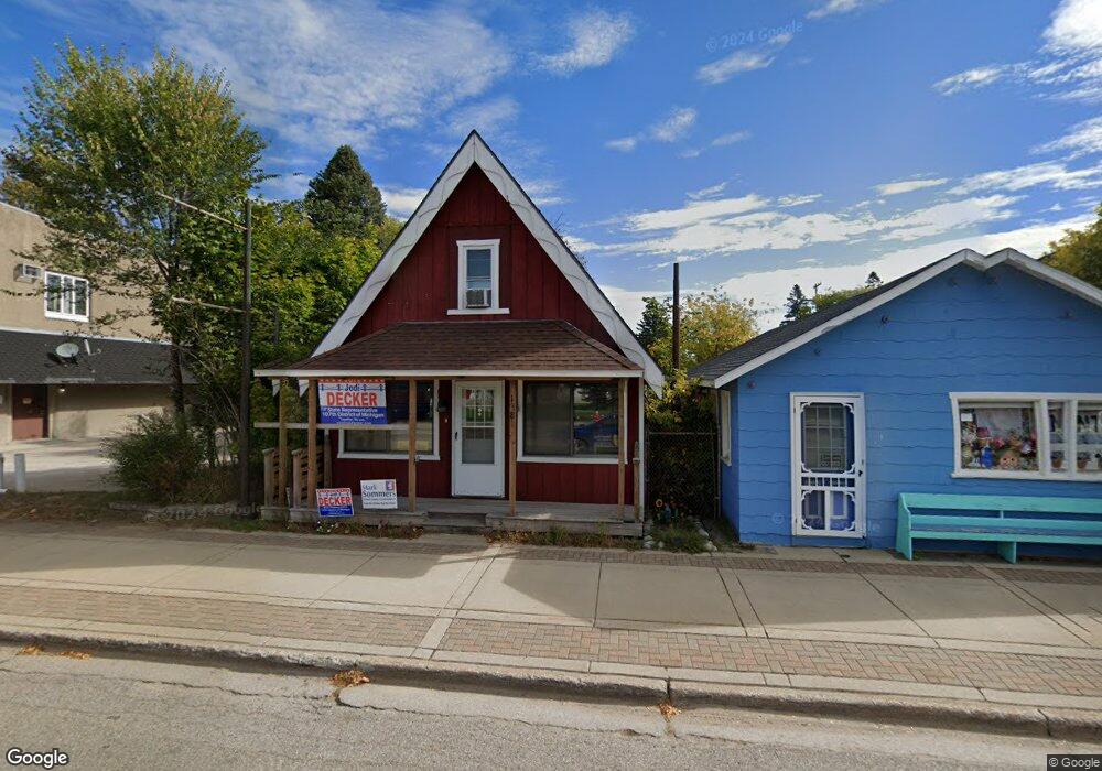
138 Stimpson Dr Pellston, MI 49769
Studio
--
Bath
1,200
Sq Ft
3,920
Sq Ft
About This Home
This home is located at 138 Stimpson Dr, Pellston, MI 49769. 138 Stimpson Dr is a home located in Emmet County with nearby schools including Pellston Elementary School and Pellston Middle/High School.
Ownership History
Date
Name
Owned For
Owner Type
Purchase Details
Closed on
Nov 27, 2007
Sold by
Citizens Bank
Bought by
Adams Michael
Purchase Details
Closed on
Mar 22, 2007
Bought by
Republic Bank
Purchase Details
Closed on
Aug 1, 2001
Sold by
Turbin Brian J and Turbin Sallie A
Bought by
Tnt Development Llc
Purchase Details
Closed on
Feb 23, 2001
Sold by
Turbin Harry F
Bought by
Turbin Brian J and Turbin Sallie A
Purchase Details
Closed on
Aug 16, 1999
Sold by
Turbin Harry and Turbin Virginia
Bought by
Turbin Harry F and Turbin Brian J
Purchase Details
Closed on
Aug 1, 1984
Bought by
Turbin
Create a Home Valuation Report for This Property
The Home Valuation Report is an in-depth analysis detailing your home's value as well as a comparison with similar homes in the area
Purchase History
| Date | Buyer | Sale Price | Title Company |
|---|---|---|---|
| Adams Michael | $42,500 | -- | |
| Republic Bank | $43,900 | -- | |
| Tnt Development Llc | -- | -- | |
| Turbin Brian J | $55,000 | -- | |
| Turbin Harry F | -- | -- | |
| Turbin | $18,500 | -- |
Source: Public Records
Tax History
| Year | Tax Paid | Tax Assessment Tax Assessment Total Assessment is a certain percentage of the fair market value that is determined by local assessors to be the total taxable value of land and additions on the property. | Land | Improvement |
|---|---|---|---|---|
| 2025 | $1,249 | $48,800 | $0 | $48,800 |
| 2024 | $9 | $42,800 | $0 | $42,800 |
| 2023 | $1,128 | $34,800 | $0 | $34,800 |
| 2022 | $1,128 | $30,300 | $0 | $30,300 |
| 2021 | $1,153 | $28,600 | $1,600 | $27,000 |
| 2020 | $1,154 | $27,900 | $1,600 | $26,300 |
| 2019 | -- | $27,500 | $1,600 | $25,900 |
| 2018 | -- | $25,900 | $1,600 | $24,300 |
| 2017 | -- | $24,800 | $1,600 | $23,200 |
| 2016 | -- | $23,000 | $1,600 | $21,400 |
| 2015 | -- | $22,600 | $0 | $0 |
| 2014 | -- | $21,100 | $0 | $0 |
Source: Public Records
Map
Nearby Homes
- 6457 State St
- 6421 Airport Crossing Rd Unit 1
- 8959 Robinson Rd
- TBD Teal Rd
- 8016 Silver Strand Rd
- 4333 U S 31
- 10999 Koepke Rd
- 6105 U S 31
- 10222 W Munro Lake Dr
- 5100 N Bay Way
- 1975 &1995 Club House Dr
- 1975 + 1995 Club House Dr
- 6167 Lambert Dr
- 1830 Indian Point Rd
- 1442 Indian Point Rd
- 7084 Center St
- 7181 Maple St
- 1253 Walkabout Ln
- 7325 Keystone Park Dr Unit 18
- 3955 S Pleasantview Rd Unit 6
- 146 Stimpson Dr
- 146 Stimpson St
- 6408 E Edgar St
- 6408 E Edgar St Unit 154 1/2 Stimpson
- 1204 U S 31
- tbd U S 31
- 110 Stimpson Dr
- 6432 E Edgar St
- 6435 E Main St
- 182 Stimpson Dr
- 6445 W Main St
- 6452 E Edgar St
- 6419 E Edgar St
- 6431 E Edgar St
- 6443 E Edgar Blvd
- 68 Stimpson St
- 6455 E Main St
- 000 Vacant U S 31
- 6443 E Edgar St
- 68 Stimpson Dr
Your Personal Tour Guide
Ask me questions while you tour the home.