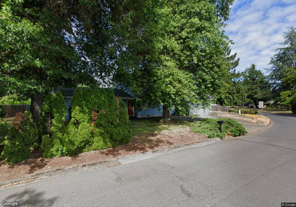
1380 Aspen St Springfield, OR 97477
West Springfield NeighborhoodEstimated Value: $514,000 - $612,000
3
Beds
3
Baths
2,317
Sq Ft
$245/Sq Ft
Est. Value
About This Home
This home is located at 1380 Aspen St, Springfield, OR 97477 and is currently estimated at $566,689, approximately $244 per square foot. 1380 Aspen St is a home located in Lane County with nearby schools including Centennial Elementary School, Hamlin Middle School, and Springfield High School.
Ownership History
Date
Name
Owned For
Owner Type
Purchase Details
Closed on
Aug 17, 2006
Sold by
Garrett Allen K
Bought by
Garrett Allen K and Garrett Nanette
Current Estimated Value
Purchase Details
Closed on
Aug 16, 2002
Sold by
Garrett Allen K and Garrett Nancy A
Bought by
Garrett Allen K
Home Financials for this Owner
Home Financials are based on the most recent Mortgage that was taken out on this home.
Original Mortgage
$145,000
Interest Rate
6.52%
Create a Home Valuation Report for This Property
The Home Valuation Report is an in-depth analysis detailing your home's value as well as a comparison with similar homes in the area
Home Values in the Area
Average Home Value in this Area
Purchase History
| Date | Buyer | Sale Price | Title Company |
|---|---|---|---|
| Garrett Allen K | -- | Accommodation | |
| Garrett Allen K | -- | Western Pioneer Title Co |
Source: Public Records
Mortgage History
| Date | Status | Borrower | Loan Amount |
|---|---|---|---|
| Closed | Garrett Allen K | $145,000 |
Source: Public Records
Tax History Compared to Growth
Tax History
| Year | Tax Paid | Tax Assessment Tax Assessment Total Assessment is a certain percentage of the fair market value that is determined by local assessors to be the total taxable value of land and additions on the property. | Land | Improvement |
|---|---|---|---|---|
| 2025 | $4,288 | $292,746 | -- | -- |
| 2024 | $4,172 | $284,220 | -- | -- |
| 2023 | $4,172 | $275,942 | $0 | $0 |
| 2022 | $3,966 | $267,905 | $0 | $0 |
| 2021 | $3,880 | $260,102 | $0 | $0 |
| 2020 | $3,768 | $252,527 | $0 | $0 |
| 2019 | $3,636 | $245,172 | $0 | $0 |
| 2018 | $3,497 | $231,099 | $0 | $0 |
| 2017 | $3,393 | $231,099 | $0 | $0 |
| 2016 | $3,317 | $224,368 | $0 | $0 |
| 2015 | $3,236 | $217,833 | $0 | $0 |
| 2014 | $3,100 | $211,488 | $0 | $0 |
Source: Public Records
Map
Nearby Homes
- 1120 W Fairview Dr Unit 3
- 1310 W Quinalt St
- 872 W N St
- 1770 Brandy Way
- 1632 Dotie Dr
- 1130 Anderson Ln
- 804 W N St
- 955 Oak Meadows Place
- 1723 Dotie Dr
- 835 Anderson Ln
- 633 Rowan Ave
- 930 Prescott Ln
- 436 W M St
- 428 W Centennial Blvd
- 952 Summit Blvd
- 0 Summit Blvd Unit 6305 24210629
- 3515 Regent Ave
- 484 Scotts Glen Dr
- 835 Willacade Ct
- 1267 Kenray Loop
- 1397 Tamarack St
- 1360 Aspen St
- 1395 Tamarack St
- 1340 Aspen St
- 1320 Menlo Loop
- 1387 Tamarack St
- 1396 Tamarack St
- 1384 Tamarack St
- 1324 Cottonwood Ave
- 1340 Cottonwood Ave
- 1379 Tamarack St
- 1378 Cottonwood Ave
- 1433 Tamarack St
- 1350 Menlo Loop
- 1390 Cottonwood Ave
- 1372 Tamarack St
- 1370 Menlo Loop
- 1355 Tamarack St
- 1427 Menlo Loop
- 1457 Tamarack St