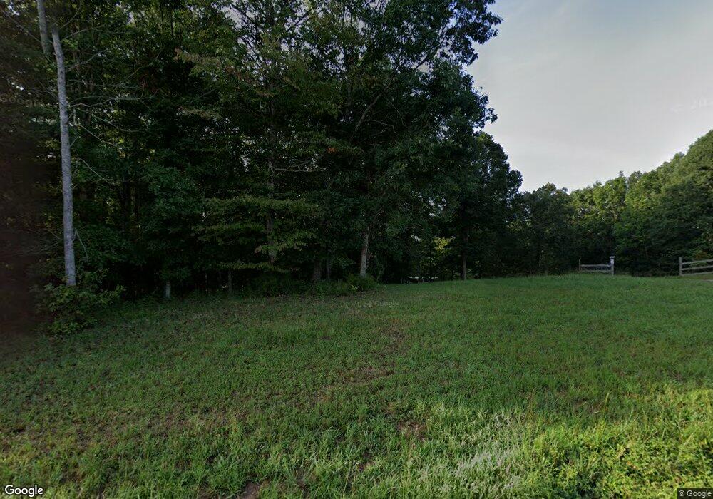
1380 Pack Rd White Bluff, TN 37187
Estimated Value: $475,062 - $506,000
Studio
2
Baths
1,624
Sq Ft
$299/Sq Ft
Est. Value
About This Home
This home is located at 1380 Pack Rd, White Bluff, TN 37187 and is currently estimated at $485,687, approximately $299 per square foot. 1380 Pack Rd is a home located in Dickson County with nearby schools including White Bluff Elementary School, W. James Middle School, and Creek Wood High School.
Ownership History
Date
Name
Owned For
Owner Type
Purchase Details
Closed on
Dec 2, 2025
Sold by
Swaw Becky L
Bought by
Swaw Billy Jim and Swaw Leslie M
Current Estimated Value
Home Financials for this Owner
Home Financials are based on the most recent Mortgage that was taken out on this home.
Original Mortgage
$68,833
Outstanding Balance
$68,833
Interest Rate
6.19%
Mortgage Type
New Conventional
Estimated Equity
$416,854
Purchase Details
Closed on
Oct 11, 2006
Sold by
Dietz Larry
Bought by
Swaw Terry M
Purchase Details
Closed on
Aug 31, 2001
Sold by
Sanders Thomas E and Sanders Judy P
Bought by
Shaw Mark A and Shaw Terri
Purchase Details
Closed on
Jun 4, 1998
Bought by
Swaw Mark A and %Larry Dietz
Purchase Details
Closed on
Jan 4, 1990
Bought by
Sanders Thomas E
Purchase Details
Closed on
Dec 19, 1983
Bought by
Sanders Thomas E
Create a Home Valuation Report for This Property
The Home Valuation Report is an in-depth analysis detailing your home's value as well as a comparison with similar homes in the area
Home Values in the Area
Average Home Value in this Area
Purchase History
| Date | Buyer | Sale Price | Title Company |
|---|---|---|---|
| Swaw Billy Jim | $68,833 | Bankers Title & Escrow | |
| Swaw Terry M | $37,500 | -- | |
| Shaw Mark A | $14,690 | -- | |
| Swaw Mark A | $14,700 | -- | |
| Sanders Thomas E | -- | -- | |
| Sanders Thomas E | -- | -- |
Source: Public Records
Mortgage History
| Date | Status | Borrower | Loan Amount |
|---|---|---|---|
| Open | Swaw Billy Jim | $68,833 |
Source: Public Records
Tax History
| Year | Tax Paid | Tax Assessment Tax Assessment Total Assessment is a certain percentage of the fair market value that is determined by local assessors to be the total taxable value of land and additions on the property. | Land | Improvement |
|---|---|---|---|---|
| 2025 | $1,822 | $107,800 | $40,400 | $67,400 |
| 2024 | $1,822 | $107,800 | $40,400 | $67,400 |
| 2023 | $886 | $37,700 | $9,700 | $28,000 |
| 2022 | $875 | $37,250 | $9,700 | $27,550 |
| 2021 | $875 | $37,250 | $9,700 | $27,550 |
| 2020 | $875 | $37,250 | $9,700 | $27,550 |
| 2019 | $875 | $37,250 | $9,700 | $27,550 |
| 2018 | $848 | $31,425 | $8,125 | $23,300 |
| 2017 | $848 | $31,425 | $8,125 | $23,300 |
| 2016 | $848 | $31,425 | $8,125 | $23,300 |
| 2015 | $800 | $27,600 | $8,125 | $19,475 |
| 2014 | $800 | $27,600 | $8,125 | $19,475 |
Source: Public Records
Map
Nearby Homes
- 1423 Pack Rd
- 1053 Pack Rd
- 997 Pack Rd
- 1613 Harpeth Crossing
- 0 Stringfellow Rd
- 0 Dawson Rd Unit 25609910
- 1150 Claylick Rd
- 1176 Petty Rd
- 1085 Claylick Rd
- 1077 Claylick Rd
- 0 Red Oak Rd Unit RTC3111946
- 1475 Petty Rd
- 1259 Petty Rd
- 2745 Tennessee 47
- 2749 Highway 47 N
- 104 Mutt Rd
- 106 Mutt Rd
- 104 Nikki Way
- 1 Amber Dr
- 1330 Old Charlotte Rd
