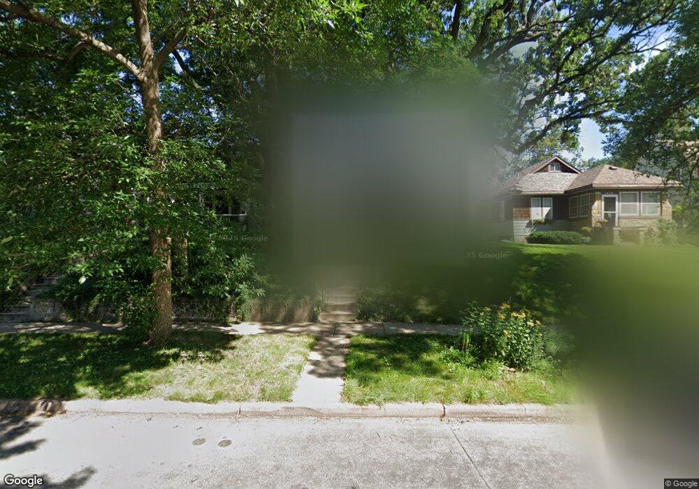
1381 Portland Ave Saint Paul, MN 55104
Union Park NeighborhoodEstimated Value: $318,000 - $452,000
2
Beds
1
Bath
1,043
Sq Ft
$358/Sq Ft
Est. Value
About This Home
This home is located at 1381 Portland Ave, Saint Paul, MN 55104 and is currently estimated at $373,868, approximately $358 per square foot. 1381 Portland Ave is a home located in Ramsey County with nearby schools including Maxfield Magnet Elementary School, Hidden River Middle School, and Central Senior High School.
Ownership History
Date
Name
Owned For
Owner Type
Purchase Details
Closed on
Aug 16, 2018
Sold by
Rutledge Molly R
Bought by
Rutledge Molly R and Purdy Sarah B
Current Estimated Value
Home Financials for this Owner
Home Financials are based on the most recent Mortgage that was taken out on this home.
Original Mortgage
$116,314
Interest Rate
4.8%
Mortgage Type
New Conventional
Purchase Details
Closed on
Oct 15, 1997
Sold by
Baskfield Patrick and Baskfield Allison Krehbiel
Bought by
Henry Daren and Zenz Laura
Create a Home Valuation Report for This Property
The Home Valuation Report is an in-depth analysis detailing your home's value as well as a comparison with similar homes in the area
Home Values in the Area
Average Home Value in this Area
Purchase History
| Date | Buyer | Sale Price | Title Company |
|---|---|---|---|
| Rutledge Molly R | -- | None Available | |
| Rutledge Molly | -- | None Available | |
| Henry Daren | $110,000 | -- |
Source: Public Records
Mortgage History
| Date | Status | Borrower | Loan Amount |
|---|---|---|---|
| Previous Owner | Rutledge Molly R | $116,314 |
Source: Public Records
Tax History Compared to Growth
Tax History
| Year | Tax Paid | Tax Assessment Tax Assessment Total Assessment is a certain percentage of the fair market value that is determined by local assessors to be the total taxable value of land and additions on the property. | Land | Improvement |
|---|---|---|---|---|
| 2025 | $4,884 | $342,100 | $105,600 | $236,500 |
| 2023 | $4,884 | $320,800 | $105,600 | $215,200 |
| 2022 | $4,214 | $312,900 | $105,600 | $207,300 |
| 2021 | $4,358 | $269,700 | $105,600 | $164,100 |
| 2020 | $4,262 | $287,500 | $105,600 | $181,900 |
| 2019 | $4,340 | $263,800 | $105,600 | $158,200 |
| 2018 | $4,036 | $265,000 | $105,600 | $159,400 |
| 2017 | $3,548 | $249,800 | $105,600 | $144,200 |
| 2016 | $3,644 | $0 | $0 | $0 |
| 2015 | $3,660 | $217,400 | $105,600 | $111,800 |
| 2014 | $3,334 | $0 | $0 | $0 |
Source: Public Records
Map
Nearby Homes
- 750 Summit Ave
- 1447 Hague Ave
- 1354 Grand Ave
- 1253 Ashland Ave
- 1510 Laurel Ave
- 1259 Hague Ave
- 1540 Ashland Ave Unit 12
- 1325 Dayton Ave
- 1247 Selby Ave
- 1200 Portland Ave
- 184 Saratoga St N
- 1217 Grand Ave
- 12XX Marshall Ave
- 193 Griggs St N
- 1201 Hague Ave
- 1174 Grand Ave Unit 5
- 1140 Ashland Ave
- 1186 Marshall Ave
- 1149 Selby Ave
- 1147 Lincoln Ave Unit 1147
- 1375 Portland Ave
- 1385 Portland Ave
- 1385 1385 Portland Ave
- 1389 Portland Ave
- 1371 Portland Ave
- 1371 1371 Portland Ave
- 1367 Portland Ave
- 1363 Portland Ave
- 1380 Ashland Ave
- 1384 Ashland Ave
- 1378 Ashland Ave
- 1390 Ashland Ave
- 1372 1372 Ashland Ave
- 1372 Ashland Ave
- 1359 Portland Ave
- 1394 Ashland Ave
- 1368 Ashland Ave
- 1380 1380 Portland Ave
- 1380 Portland Ave
- 1398 Ashland Ave