13837 N Vision Dr Kenton, OH 43326
Estimated Value: $1,949,319
--
Bed
1
Bath
50,000
Sq Ft
$39/Sq Ft
Est. Value
About This Home
This home is located at 13837 N Vision Dr, Kenton, OH 43326 and is currently priced at $1,949,319, approximately $38 per square foot. 13837 N Vision Dr is a home located in Hardin County with nearby schools including Kenton Elementary School, Kenton Middle School, and Kenton High School.
Ownership History
Date
Name
Owned For
Owner Type
Purchase Details
Closed on
Apr 23, 2018
Sold by
Industrial Paint And Strip West Llc
Bought by
Rosens Inc
Current Estimated Value
Purchase Details
Closed on
Dec 31, 2003
Bought by
Fetter Finishing Facilit
Purchase Details
Closed on
Apr 2, 2002
Bought by
Fetter Finishing Llc
Purchase Details
Closed on
Mar 25, 1997
Bought by
Harmon Technical Coating
Purchase Details
Closed on
Mar 6, 1996
Bought by
R G Buck Inc
Create a Home Valuation Report for This Property
The Home Valuation Report is an in-depth analysis detailing your home's value as well as a comparison with similar homes in the area
Home Values in the Area
Average Home Value in this Area
Purchase History
| Date | Buyer | Sale Price | Title Company |
|---|---|---|---|
| Rosens Inc | $1,140,000 | None Available | |
| Fetter Finishing Facilit | -- | -- | |
| Fetter Finishing Llc | -- | -- | |
| Harmon Technical Coating | $850,000 | -- | |
| R G Buck Inc | -- | -- |
Source: Public Records
Tax History Compared to Growth
Tax History
| Year | Tax Paid | Tax Assessment Tax Assessment Total Assessment is a certain percentage of the fair market value that is determined by local assessors to be the total taxable value of land and additions on the property. | Land | Improvement |
|---|---|---|---|---|
| 2024 | $21,783 | $378,510 | $22,710 | $355,800 |
| 2023 | $21,783 | $378,510 | $22,710 | $355,800 |
| 2022 | $21,039 | $360,250 | $22,710 | $337,540 |
| 2021 | $21,177 | $360,250 | $22,710 | $337,540 |
| 2020 | $18,966 | $360,250 | $22,710 | $337,540 |
| 2019 | $16,490 | $315,780 | $22,710 | $293,070 |
| 2018 | $16,524 | $315,780 | $22,710 | $293,070 |
| 2017 | $16,280 | $315,780 | $22,710 | $293,070 |
| 2016 | $15,483 | $301,480 | $26,250 | $275,230 |
| 2015 | $14,611 | $301,480 | $26,250 | $275,230 |
| 2014 | $15,150 | $301,480 | $26,250 | $275,230 |
| 2013 | $14,851 | $301,480 | $26,250 | $275,230 |
Source: Public Records
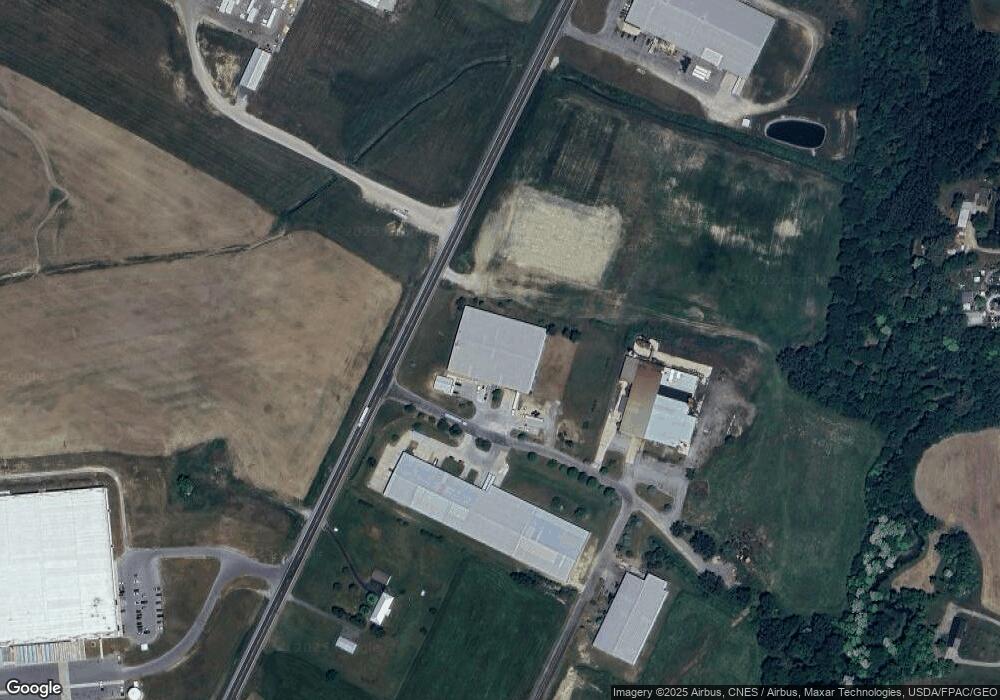
Map
Nearby Homes
- 320 Letson Ave
- 13450 State Route 292
- 414 Robinson Ave
- 727 S Detroit St
- 639 S Main St
- 726 Tracy St
- 702 W Franklin St Unit 702 1/2
- 508 Decatur St
- 510 Decatur St
- 723 W Lima St Unit 66
- 723 W Lima St Unit 1
- 0 Ohio 309
- 121 S High St
- 920 Cooper St
- 424 W Carrol St
- 219 W Carrol St
- 530 E Franklin St
- 513 E Franklin St
- 115 Scioto St
- 215 N Main St
- 14312 Us Highway 68
- 13949 County Road 155
- 14125 County Road 155
- 14221 County Road 155
- 14126 County Road 155
- 14265 County Rd
- 14265 Cr
- 13725 County Road 155
- 13693 County Road 155
- 14260 Cr
- 14260 County Road 155
- 14301 County Road 155
- 14302 Cr
- 14302 County Road 155
- 13647 County Road 155
- 14335 County Road 155
- 14338 County Road 155
- 14367 County Road 155
- 14367 County Rd