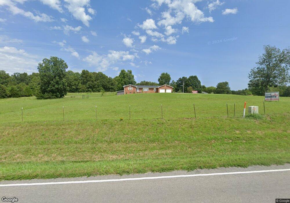
13854 State Route E West Plains, MO 65775
Estimated Value: $283,000 - $443,000
3
Beds
3
Baths
3,770
Sq Ft
$102/Sq Ft
Est. Value
About This Home
This home is located at 13854 State Route E, West Plains, MO 65775 and is currently estimated at $384,390, approximately $101 per square foot. 13854 State Route E is a home located in Howell County with nearby schools including West Plains Senior High School.
Ownership History
Date
Name
Owned For
Owner Type
Purchase Details
Closed on
May 1, 2023
Sold by
Donahue Clinton
Bought by
Dunkin David E and Dunkin Becky A
Current Estimated Value
Purchase Details
Closed on
Jun 15, 2020
Sold by
Taylor Michael Brett and Taylor Joann N
Bought by
Donahue Clint
Purchase Details
Closed on
Nov 5, 2014
Sold by
Owens Chris B and Owens Amy J
Bought by
Taylor Michael Brett and Taylor Joann N
Home Financials for this Owner
Home Financials are based on the most recent Mortgage that was taken out on this home.
Original Mortgage
$153,000
Interest Rate
3.99%
Mortgage Type
Adjustable Rate Mortgage/ARM
Create a Home Valuation Report for This Property
The Home Valuation Report is an in-depth analysis detailing your home's value as well as a comparison with similar homes in the area
Purchase History
| Date | Buyer | Sale Price | Title Company |
|---|---|---|---|
| Dunkin David E | -- | Brill Title | |
| Donahue Clint | -- | None Available | |
| Taylor Michael Brett | -- | None Available |
Source: Public Records
Mortgage History
| Date | Status | Borrower | Loan Amount |
|---|---|---|---|
| Previous Owner | Taylor Michael Brett | $153,000 |
Source: Public Records
Tax History
| Year | Tax Paid | Tax Assessment Tax Assessment Total Assessment is a certain percentage of the fair market value that is determined by local assessors to be the total taxable value of land and additions on the property. | Land | Improvement |
|---|---|---|---|---|
| 2025 | $1,442 | $39,070 | $3,010 | $36,060 |
| 2024 | $1,433 | $34,910 | -- | -- |
| 2023 | $1,433 | $34,910 | -- | -- |
| 2022 | $1,351 | $32,960 | $0 | $0 |
| 2021 | $1,394 | $32,960 | $0 | $0 |
| 2020 | $1,394 | $33,220 | $0 | $0 |
| 2019 | $1,454 | $33,220 | $0 | $0 |
| 2018 | $1,429 | $32,650 | $0 | $0 |
| 2017 | $1,424 | $32,650 | $0 | $0 |
| 2015 | -- | $32,850 | $0 | $0 |
| 2014 | -- | $32,850 | $0 | $0 |
| 2013 | -- | $32,850 | $0 | $0 |
Source: Public Records
Map
Nearby Homes
- 14140 County Road 6950
- 14392 County Road 6790
- 2782 County Road 7440
- 4150 County Road 7480
- 13163 State Route Ff
- 13163 State Route Ff
- 5021 Private Rd
- 12450 County Road 6810
- 12409 State Route E
- 4408 County Road 7480
- 2158 Private Road 7380
- 12103 County Road 6450
- 000 State Route Jj
- 402 State Highway 142
- 1283 Co Rd 7320
- 1283 County Road 7320
- 000 State Hwy 142
- 4117 Private Road 7201
- 12571 State Route Oo
- 000 State Route Oo
- 13800 State Route E
- 13798 State Route E
- 13692 State Route E
- 14125 State Route E
- 3345 County Road 7760
- 13687 State Route E
- 14155 State Route E
- 13902 County Road 6810
- 14102 State Route E
- 14147 County Road 7760
- 14203 State Route E
- 12879 County Road 6810
- 12804 County Road 6810
- 12804 County Road 6810
- 12804 County Road 6810
- 13906 County Road 6810
- 3501 County Road 7640
- 14128 County Road 6810
- 14014 County Road 6810
- 3425 County Road 7760
Your Personal Tour Guide
Ask me questions while you tour the home.