1388 E Norris Point Rd La Follette, TN 37766
Estimated Value: $1,056,000 - $1,271,512
--
Bed
3
Baths
4,042
Sq Ft
$290/Sq Ft
Est. Value
About This Home
This home is located at 1388 E Norris Point Rd, La Follette, TN 37766 and is currently estimated at $1,171,171, approximately $289 per square foot. 1388 E Norris Point Rd is a home located in Campbell County.
Ownership History
Date
Name
Owned For
Owner Type
Purchase Details
Closed on
Dec 18, 2014
Sold by
Andrews Claudine A
Bought by
Andrews Jeffrey W and Andrews Jeffrey W Trust
Current Estimated Value
Purchase Details
Closed on
Dec 19, 2012
Bought by
Andrews Claudine A Trust The
Purchase Details
Closed on
Dec 26, 2006
Sold by
Ayers Ltd
Bought by
Andrews Jeffrey W and Andrews Claudine A
Purchase Details
Closed on
Aug 19, 1991
Bought by
Ayers Ltd
Create a Home Valuation Report for This Property
The Home Valuation Report is an in-depth analysis detailing your home's value as well as a comparison with similar homes in the area
Home Values in the Area
Average Home Value in this Area
Purchase History
| Date | Buyer | Sale Price | Title Company |
|---|---|---|---|
| Andrews Jeffrey W | -- | -- | |
| Andrews Claudine A Trust The | -- | -- | |
| Andrews Jeffrey W | $200,000 | -- | |
| Ayers Ltd | -- | -- |
Source: Public Records
Tax History Compared to Growth
Tax History
| Year | Tax Paid | Tax Assessment Tax Assessment Total Assessment is a certain percentage of the fair market value that is determined by local assessors to be the total taxable value of land and additions on the property. | Land | Improvement |
|---|---|---|---|---|
| 2024 | $2,745 | $225,850 | $50,400 | $175,450 |
| 2023 | $3,373 | $163,250 | $40,000 | $123,250 |
| 2022 | $3,373 | $163,250 | $40,000 | $123,250 |
| 2021 | $3,373 | $163,250 | $40,000 | $123,250 |
| 2020 | $3,306 | $163,250 | $40,000 | $123,250 |
| 2019 | $3,373 | $163,250 | $40,000 | $123,250 |
| 2018 | $2,896 | $128,725 | $52,500 | $76,225 |
| 2017 | $2,896 | $128,725 | $52,500 | $76,225 |
| 2016 | $2,896 | $128,725 | $52,500 | $76,225 |
| 2015 | $2,562 | $128,725 | $52,500 | $76,225 |
| 2014 | -- | $128,725 | $52,500 | $76,225 |
| 2013 | -- | $128,725 | $52,500 | $76,225 |
Source: Public Records
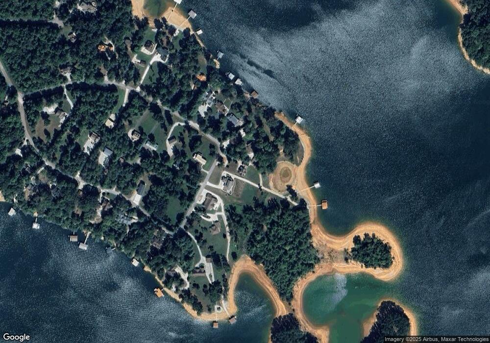
Map
Nearby Homes
- 939 E Norris Point Rd
- 444 Chapman Village Dr
- 536 E Norris Point Rd
- 643 Crown Pointe Rd
- TBD Brandt Pike
- 0 White Ln
- 201 Crown Jewel Ln
- 0 Hueston Wood Ln Unit 1278197
- 138 Bethlehem Ln
- 195 Kennedys Loop
- 339 Flat Hollow Marina Rd
- 176 Flat Hollow Marina Rd
- Lot 172 Saddleridge Dr
- Lot172&173 Saddleridge Dr
- 455 Alder Springs Rd
- 0 Saddleridge Unit 1214257
- Lot 173 Saddleridge Dr
- 735 Alder Springs Rd
- 0 Victory Rd Unit 1316112
- 309 Alder Shore Ln
- 1394 E Norris Point Rd
- 1380 E Norris Point Rd
- 1385 E Norris Point Rd E
- 1406 E Norris Point Rd
- 1360 E Norris Point Rd
- 1416 E Norris Point Rd
- 1435 E Norris Point Rd
- 1445 E Norris Point Rd
- 1436 E Norris Point Rd
- 1436 E Norris Point Rd
- 1344 E Norris Point Rd
- 1332 E Norris Point Rd
- 1455 E Norris Point Rd
- 1338 E Norris Point Rd
- 1314 E Norris Point Rd
- 1448 E Norris Point Rd
- 0 Norris Pointe E Unit 617314
- 0 Norris Pointe E Unit 923935
- 0 Norris Pointe E Unit 923928
- 0 Norris Pointe E Unit 1140299