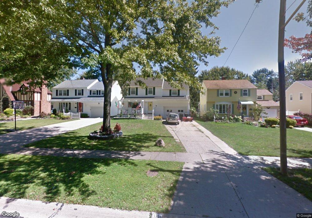
1389 Ford Rd Cleveland, OH 44124
Estimated Value: $251,000 - $260,000
4
Beds
2
Baths
1,967
Sq Ft
$130/Sq Ft
Est. Value
About This Home
This home is located at 1389 Ford Rd, Cleveland, OH 44124 and is currently estimated at $255,123, approximately $129 per square foot. 1389 Ford Rd is a home located in Cuyahoga County with nearby schools including Sunview Elementary School, Greenview Upper Elementary School, and Memorial Junior High School.
Ownership History
Date
Name
Owned For
Owner Type
Purchase Details
Closed on
May 25, 2011
Sold by
Peters Patricia and Weigel Robert
Bought by
Mcgonigle Neil Anthony
Current Estimated Value
Home Financials for this Owner
Home Financials are based on the most recent Mortgage that was taken out on this home.
Original Mortgage
$96,354
Outstanding Balance
$66,931
Interest Rate
4.87%
Mortgage Type
FHA
Estimated Equity
$188,192
Purchase Details
Closed on
Mar 15, 2005
Sold by
Weigel Beatrice M
Bought by
Weigel Beatrice M and Peters Patricia
Purchase Details
Closed on
Jan 1, 1975
Bought by
Weigel Beatrice M
Create a Home Valuation Report for This Property
The Home Valuation Report is an in-depth analysis detailing your home's value as well as a comparison with similar homes in the area
Home Values in the Area
Average Home Value in this Area
Purchase History
| Date | Buyer | Sale Price | Title Company |
|---|---|---|---|
| Mcgonigle Neil Anthony | $106,000 | Stewart Real | |
| Weigel Beatrice M | -- | -- | |
| Weigel Beatrice M | -- | -- |
Source: Public Records
Mortgage History
| Date | Status | Borrower | Loan Amount |
|---|---|---|---|
| Open | Mcgonigle Neil Anthony | $96,354 |
Source: Public Records
Tax History Compared to Growth
Tax History
| Year | Tax Paid | Tax Assessment Tax Assessment Total Assessment is a certain percentage of the fair market value that is determined by local assessors to be the total taxable value of land and additions on the property. | Land | Improvement |
|---|---|---|---|---|
| 2024 | $5,020 | $72,170 | $12,495 | $59,675 |
| 2023 | $4,965 | $57,650 | $10,710 | $46,940 |
| 2022 | $4,936 | $57,650 | $10,710 | $46,940 |
| 2021 | $4,894 | $57,650 | $10,710 | $46,940 |
| 2020 | $4,586 | $47,250 | $8,790 | $38,470 |
| 2019 | $4,134 | $135,000 | $25,100 | $109,900 |
| 2018 | $4,191 | $47,250 | $8,790 | $38,470 |
| 2017 | $4,303 | $45,500 | $8,890 | $36,610 |
| 2016 | $4,271 | $45,500 | $8,890 | $36,610 |
| 2015 | $4,325 | $45,500 | $8,890 | $36,610 |
| 2014 | $4,325 | $46,450 | $9,070 | $37,380 |
Source: Public Records
Map
Nearby Homes
- 1307 Ford Rd
- 1291 Haverston Rd
- 1284 Haverston Rd
- 1391 Iroquois Ave
- 1433 Churchill Rd
- 1443 Churchill Rd
- 1548 Biltmore Rd
- 1368 Irene Rd
- 1192 Blanchester Rd
- 1151 Brainard Rd
- 1363 Ranchland Dr
- 1151 Croyden Rd
- 1213 Eastwood Ave
- 1590 Longwood Dr
- 1430 Belrose Rd
- 1574 Hawthorne Dr
- 1218 Summit Dr
- 1233 Summit Dr
- 1120 Croyden Rd
- 1201 Summit Dr