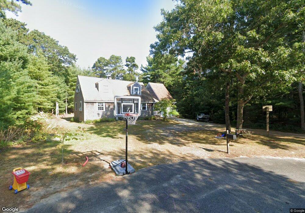
139 Captain Carltons Rd Cotuit, MA 02635
Cotuit NeighborhoodEstimated Value: $635,785 - $732,000
3
Beds
2
Baths
1,416
Sq Ft
$494/Sq Ft
Est. Value
About This Home
This home is located at 139 Captain Carltons Rd, Cotuit, MA 02635 and is currently estimated at $699,696, approximately $494 per square foot. 139 Captain Carltons Rd is a home located in Barnstable County with nearby schools including West Villages Elementary School, Barnstable United Elementary School, and Barnstable Intermediate School.
Ownership History
Date
Name
Owned For
Owner Type
Purchase Details
Closed on
Feb 21, 2014
Sold by
Paretti Elena M
Bought by
Hill Gregory J and Hill Emily R
Current Estimated Value
Purchase Details
Closed on
Jun 4, 2004
Sold by
Paretti Elena M and Paretti Joseph P
Bought by
Paretti Elena M
Create a Home Valuation Report for This Property
The Home Valuation Report is an in-depth analysis detailing your home's value as well as a comparison with similar homes in the area
Home Values in the Area
Average Home Value in this Area
Purchase History
| Date | Buyer | Sale Price | Title Company |
|---|---|---|---|
| Hill Gregory J | $305,000 | -- | |
| Paretti Elena M | -- | -- | |
| Paretti Elena M | -- | -- |
Source: Public Records
Mortgage History
| Date | Status | Borrower | Loan Amount |
|---|---|---|---|
| Closed | Hill Gregory J | $0 |
Source: Public Records
Tax History
| Year | Tax Paid | Tax Assessment Tax Assessment Total Assessment is a certain percentage of the fair market value that is determined by local assessors to be the total taxable value of land and additions on the property. | Land | Improvement |
|---|---|---|---|---|
| 2025 | $4,475 | $535,900 | $179,600 | $356,300 |
| 2024 | $4,042 | $513,000 | $179,600 | $333,400 |
| 2023 | $3,962 | $473,400 | $177,500 | $295,900 |
| 2022 | $3,909 | $378,000 | $126,200 | $251,800 |
| 2021 | $1,868 | $343,800 | $126,200 | $217,600 |
| 2020 | $5,227 | $334,200 | $126,200 | $208,000 |
| 2019 | $3,697 | $311,200 | $126,200 | $185,000 |
| 2018 | $4,794 | $299,800 | $138,400 | $161,400 |
| 2017 | $3,449 | $292,300 | $138,400 | $153,900 |
| 2016 | $3,379 | $293,600 | $139,700 | $153,900 |
| 2015 | $3,324 | $288,500 | $136,600 | $151,900 |
Source: Public Records
Map
Nearby Homes
- 602 Putnam Ave
- 15 Geraldine Rd
- 1456 Santuit-Newtown Rd
- 564 Cotuit Bay Dr
- 564 Cotuit Bay Dr
- 75 Bob White Run
- 135 Putnam Avenue (Land)
- 165 Baxter Neck Rd
- 804 Main St
- 1415 Old Post Rd
- 835 Old Post Rd
- 226 Dunrobin Rd
- 170 Forest Hills Rd
- 239 Oxford Dr
- 916 Main St
- 70 Cape Dr Unit 14D
- 70 Cape Dr Unit 11D
- 70 Cape Dr Unit 11D
- 33 Oyster Place Rd
- 71 Sand Point
- 127 Captain Carltons Rd
- 140 Captain Carleton's Rd
- 140 Captain Carltons Rd
- 124 Captain Carltons Rd
- 124 Captain Carltons Rd
- 115 Captain Carltons Rd
- 139 Capn Carletons Rd
- 100 Captain Carltons Rd
- 100 Captain Samadrus Rd
- 105 Captain Carltons Rd
- 365 Sampsons Mill Rd
- 105 Captain Carleton Rd
- 100 Cap'N Carleton Rd
- 112 Captain Samadrus Rd
- 112 Cap'N Samadrus
- 40 Captain Samadrus Rd
- 91 Captain Carltons Rd
- 99 Captain Samadrus Rd
- 124 Captain Samadrus Rd
- 71 Cap'N Carleton's Rd
Your Personal Tour Guide
Ask me questions while you tour the home.