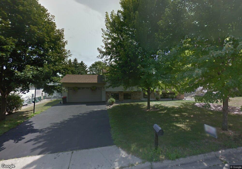
139 Carol Ln Red Wing, MN 55066
Estimated Value: $319,000 - $330,000
3
Beds
2
Baths
2,100
Sq Ft
$154/Sq Ft
Est. Value
About This Home
This home is located at 139 Carol Ln, Red Wing, MN 55066 and is currently estimated at $323,319, approximately $153 per square foot. 139 Carol Ln is a home located in Goodhue County with nearby schools including Burnside Elementary School, Sunnyside Elementary School, and Twin Bluff Middle School.
Ownership History
Date
Name
Owned For
Owner Type
Purchase Details
Closed on
May 28, 2021
Sold by
Juliar Joseph G and Shelley Deanna
Bought by
Calderon Roberto Figueroa and Parra Pantoja Teresa
Current Estimated Value
Home Financials for this Owner
Home Financials are based on the most recent Mortgage that was taken out on this home.
Original Mortgage
$189,000
Outstanding Balance
$30,124
Interest Rate
2.9%
Mortgage Type
Future Advance Clause Open End Mortgage
Estimated Equity
$293,195
Create a Home Valuation Report for This Property
The Home Valuation Report is an in-depth analysis detailing your home's value as well as a comparison with similar homes in the area
Home Values in the Area
Average Home Value in this Area
Purchase History
| Date | Buyer | Sale Price | Title Company |
|---|---|---|---|
| Calderon Roberto Figueroa | $270,000 | Trademark Title Services Inc | |
| Calderon Roberto Roberto | $270,000 | -- |
Source: Public Records
Mortgage History
| Date | Status | Borrower | Loan Amount |
|---|---|---|---|
| Open | Calderon Roberto Figueroa | $189,000 | |
| Closed | Calderon Roberto Roberto | $186,121 |
Source: Public Records
Tax History Compared to Growth
Tax History
| Year | Tax Paid | Tax Assessment Tax Assessment Total Assessment is a certain percentage of the fair market value that is determined by local assessors to be the total taxable value of land and additions on the property. | Land | Improvement |
|---|---|---|---|---|
| 2025 | $3,412 | $274,400 | $55,500 | $218,900 |
| 2024 | -- | $271,100 | $55,500 | $215,600 |
| 2023 | $3,386 | $257,200 | $55,400 | $201,800 |
| 2022 | $2,974 | $249,700 | $49,400 | $200,300 |
| 2021 | $2,770 | $213,700 | $49,400 | $164,300 |
| 2020 | $2,732 | $202,900 | $49,400 | $153,500 |
| 2019 | $2,706 | $188,700 | $49,400 | $139,300 |
| 2018 | $2,176 | $189,200 | $47,500 | $141,700 |
| 2017 | $2,136 | $166,600 | $47,500 | $119,100 |
| 2016 | $1,944 | $165,800 | $47,500 | $118,300 |
| 2015 | $1,866 | $159,500 | $47,500 | $112,000 |
| 2014 | -- | $150,100 | $47,500 | $102,600 |
Source: Public Records
Map
Nearby Homes
- 3560 Graves Dr
- 3463 Briarview Ct
- 946 Briarwood Dr
- 113 Burnside Ave S
- 168 Johnson Ave
- 237 Motel Ave
- 240 Motel Ave
- 132 Motel Ave
- 232 Fern Ave
- 998 Hewitt Blvd
- 2773 Ridgeview Dr
- 1125 Hewitt Blvd
- 4336 Lookout Ln
- 1181 Hewitt Blvd
- 1180 Hewitt Blvd
- 936 Aurora Cir
- 980 Aurora Cir
- 135 Kingswood Dr
- 912 Aurora Cir
- 853 Aurora Cir