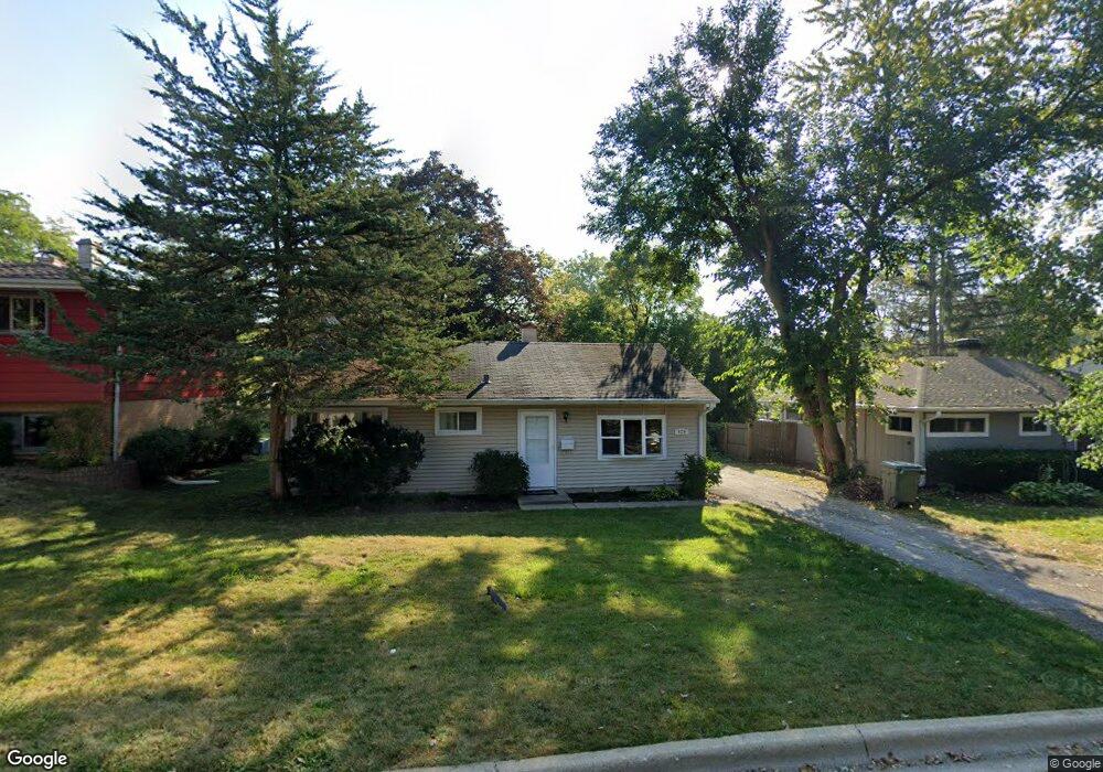
139 George St Barrington, IL 60010
South Barrington NeighborhoodEstimated Value: $294,000 - $378,059
3
Beds
1
Bath
894
Sq Ft
$387/Sq Ft
Est. Value
About This Home
This home is located at 139 George St, Barrington, IL 60010 and is currently estimated at $346,015, approximately $387 per square foot. 139 George St is a home located in Cook County with nearby schools including Arnett C. Lines Elementary School, Barrington Middle School Station Campus, and Barrington High School.
Ownership History
Date
Name
Owned For
Owner Type
Purchase Details
Closed on
Aug 22, 2003
Sold by
Korshak David
Bought by
Remi Annastasia K
Current Estimated Value
Home Financials for this Owner
Home Financials are based on the most recent Mortgage that was taken out on this home.
Original Mortgage
$161,100
Interest Rate
6.33%
Mortgage Type
Balloon
Create a Home Valuation Report for This Property
The Home Valuation Report is an in-depth analysis detailing your home's value as well as a comparison with similar homes in the area
Home Values in the Area
Average Home Value in this Area
Purchase History
| Date | Buyer | Sale Price | Title Company |
|---|---|---|---|
| Remi Annastasia K | $179,000 | Ticor Title Insurance |
Source: Public Records
Mortgage History
| Date | Status | Borrower | Loan Amount |
|---|---|---|---|
| Closed | Remi Annastasia K | $161,100 |
Source: Public Records
Tax History Compared to Growth
Tax History
| Year | Tax Paid | Tax Assessment Tax Assessment Total Assessment is a certain percentage of the fair market value that is determined by local assessors to be the total taxable value of land and additions on the property. | Land | Improvement |
|---|---|---|---|---|
| 2024 | $5,805 | $26,000 | $8,220 | $17,780 |
| 2023 | $5,672 | $26,000 | $8,220 | $17,780 |
| 2022 | $5,672 | $26,000 | $8,220 | $17,780 |
| 2021 | $6,392 | $25,919 | $4,315 | $21,604 |
| 2020 | $6,169 | $25,919 | $4,315 | $21,604 |
| 2019 | $6,073 | $28,864 | $4,315 | $24,549 |
| 2018 | $5,422 | $24,762 | $3,904 | $20,858 |
| 2017 | $5,311 | $24,762 | $3,904 | $20,858 |
| 2016 | $5,055 | $24,762 | $3,904 | $20,858 |
| 2015 | $5,243 | $23,732 | $3,493 | $20,239 |
| 2014 | $5,185 | $23,732 | $3,493 | $20,239 |
| 2013 | $4,964 | $23,732 | $3,493 | $20,239 |
Source: Public Records
Map
Nearby Homes
- 534 E Main St
- 319 S Glendale Ave Unit 204
- 336 Eastern Ave Unit C4
- 721 Concord Ln
- 345 E Russell St
- 216 Beverly Rd
- 117 Beverly Rd
- 1010 Oakland Dr
- 432 Whitney Dr
- 248 Beverly Rd
- 175 Hilltop Ave
- 733 Prairie Ave
- 206 N Cook St
- 0 Illinois Route 59
- 302 E Hillside Ave
- 650 S Grove Ave
- 755 Division St
- 126 W Lake St
- 148 W Station St
- 123 Monument Ave