139 Keewaydin Rd Wolfeboro, NH 03894
Estimated Value: $1,001,000 - $2,331,000
4
Beds
2
Baths
1,681
Sq Ft
$1,141/Sq Ft
Est. Value
About This Home
This home is located at 139 Keewaydin Rd, Wolfeboro, NH 03894 and is currently estimated at $1,917,967, approximately $1,140 per square foot. 139 Keewaydin Rd is a home with nearby schools including Carpenter Elementary School, Crescent Lake School, and Kingswood Regional Middle School.
Ownership History
Date
Name
Owned For
Owner Type
Purchase Details
Closed on
Mar 3, 2020
Sold by
Leelman Richard S
Bought by
Leelman Craig M and Tervo Megan L
Current Estimated Value
Home Financials for this Owner
Home Financials are based on the most recent Mortgage that was taken out on this home.
Original Mortgage
$476,000
Outstanding Balance
$420,762
Interest Rate
3.4%
Mortgage Type
Purchase Money Mortgage
Estimated Equity
$1,497,205
Purchase Details
Closed on
Feb 21, 2020
Sold by
Leelman Patricia J
Bought by
Leelman Martin C and Leelman Maryellen A
Home Financials for this Owner
Home Financials are based on the most recent Mortgage that was taken out on this home.
Original Mortgage
$476,000
Outstanding Balance
$420,762
Interest Rate
3.4%
Mortgage Type
Purchase Money Mortgage
Estimated Equity
$1,497,205
Create a Home Valuation Report for This Property
The Home Valuation Report is an in-depth analysis detailing your home's value as well as a comparison with similar homes in the area
Home Values in the Area
Average Home Value in this Area
Purchase History
| Date | Buyer | Sale Price | Title Company |
|---|---|---|---|
| Leelman Craig M | $330,000 | None Available | |
| Leelman Martin C | $85,000 | None Available |
Source: Public Records
Mortgage History
| Date | Status | Borrower | Loan Amount |
|---|---|---|---|
| Open | Leelman Craig M | $476,000 |
Source: Public Records
Tax History
| Year | Tax Paid | Tax Assessment Tax Assessment Total Assessment is a certain percentage of the fair market value that is determined by local assessors to be the total taxable value of land and additions on the property. | Land | Improvement |
|---|---|---|---|---|
| 2024 | $20,457 | $1,286,600 | $1,157,100 | $129,500 |
| 2023 | $18,900 | $1,286,600 | $1,157,100 | $129,500 |
| 2022 | $16,996 | $1,285,600 | $1,157,100 | $128,500 |
| 2021 | $17,574 | $1,285,600 | $1,157,100 | $128,500 |
| 2020 | $16,726 | $1,285,600 | $1,157,100 | $128,500 |
| 2019 | $17,483 | $1,103,700 | $1,003,100 | $100,600 |
| 2018 | $17,438 | $1,103,700 | $1,003,100 | $100,600 |
| 2017 | $16,533 | $1,103,700 | $1,003,100 | $100,600 |
| 2016 | $16,140 | $1,103,200 | $1,003,100 | $100,100 |
| 2015 | $15,390 | $1,103,200 | $1,003,100 | $100,100 |
| 2014 | $14,233 | $1,094,000 | $977,500 | $116,500 |
| 2013 | $14,036 | $1,094,000 | $977,500 | $116,500 |
Source: Public Records
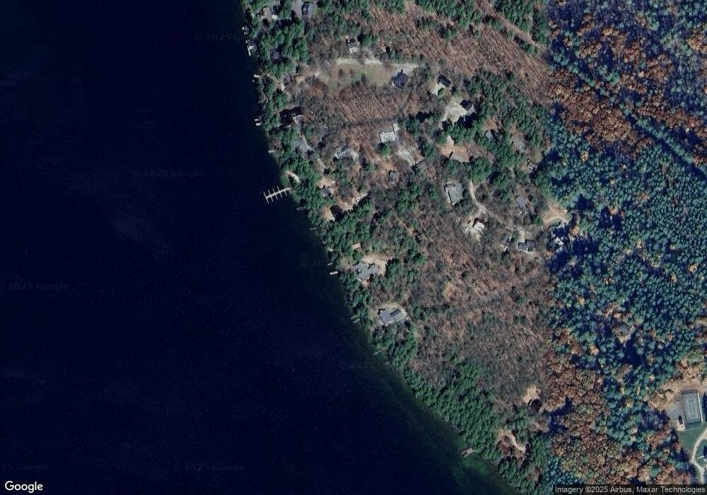
Map
Nearby Homes
- 40 Harbor Way Unit 24
- 6 Governor Wentworth Hwy
- 4 Mulberry Ct
- 19 Governor Wentworth Hwy
- 35 Rocky Shore Rd
- 2 Jordan Way
- 12 Highland Terrace
- 185 Ambrose Way
- 86 Governor Wentworth Hwy
- 222 N Main St
- 0 Varney Rd Unit 85
- 1 Ians Way
- 290 Pine Hill Rd
- 16 Varney Rd
- 195 Sewall Rd
- 00 Beach Pond Rd Unit 35
- 33 Endicott St Unit 7
- 68 Railroad Ave Unit 3
- 0 Fieldstone Rd Unit 33
- 28 Lady Slipper Ln
Your Personal Tour Guide
Ask me questions while you tour the home.