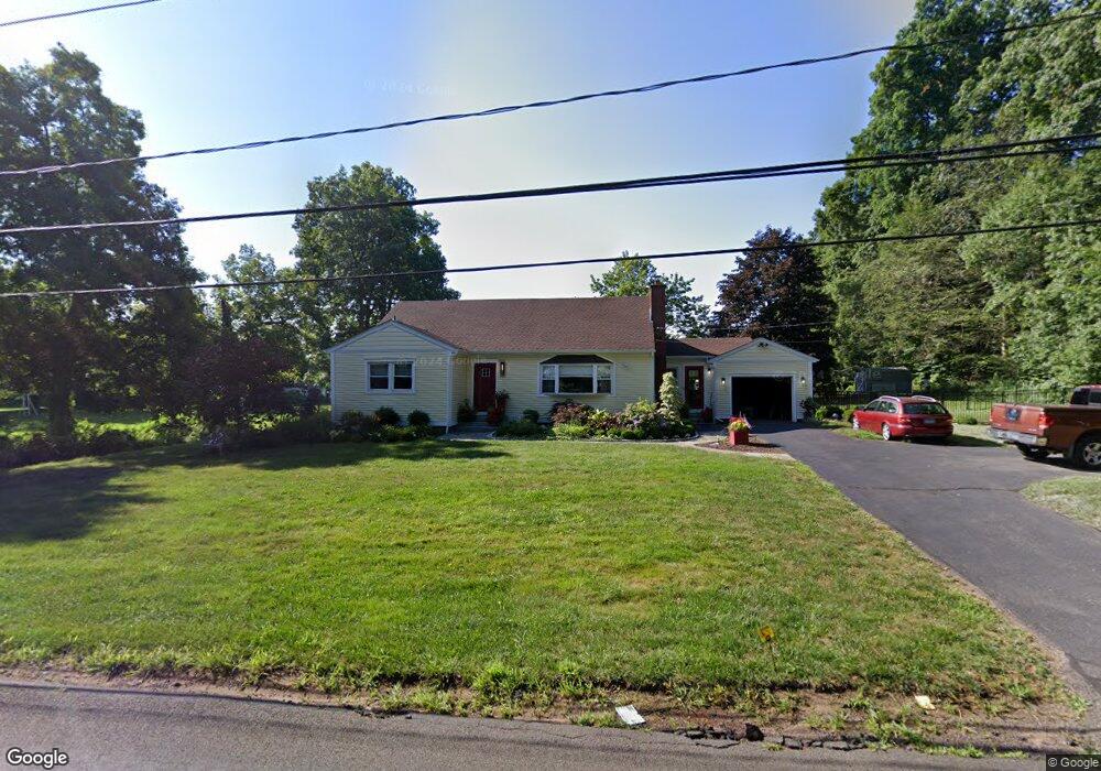
139 Laurel Brook Rd Middlefield, CT 06455
Estimated Value: $440,816 - $540,000
4
Beds
3
Baths
2,192
Sq Ft
$227/Sq Ft
Est. Value
About This Home
This home is located at 139 Laurel Brook Rd, Middlefield, CT 06455 and is currently estimated at $497,454, approximately $226 per square foot. 139 Laurel Brook Rd is a home located in Middlesex County with nearby schools including Frank Ward Strong School, Coginchaug Regional High School, and The Independent Day School.
Ownership History
Date
Name
Owned For
Owner Type
Purchase Details
Closed on
Oct 8, 2021
Sold by
Slomkowski Children Lt
Bought by
Tuttle Joann S and Tuttle Mark D
Current Estimated Value
Purchase Details
Closed on
Dec 4, 2015
Sold by
Stanley J Slomkowski L and Slomkowski Stanley J
Bought by
Slomkowski Children T and Slomkowski Paul
Create a Home Valuation Report for This Property
The Home Valuation Report is an in-depth analysis detailing your home's value as well as a comparison with similar homes in the area
Home Values in the Area
Average Home Value in this Area
Purchase History
| Date | Buyer | Sale Price | Title Company |
|---|---|---|---|
| Tuttle Joann S | $350,000 | None Available | |
| Stanley J Slomkowski Lt | -- | None Available | |
| Slomkowski Children T | -- | -- |
Source: Public Records
Tax History
| Year | Tax Paid | Tax Assessment Tax Assessment Total Assessment is a certain percentage of the fair market value that is determined by local assessors to be the total taxable value of land and additions on the property. | Land | Improvement |
|---|---|---|---|---|
| 2025 | $6,604 | $221,600 | $88,500 | $133,100 |
| 2024 | $6,218 | $221,600 | $88,500 | $133,100 |
| 2023 | $6,258 | $221,600 | $88,500 | $133,100 |
| 2022 | $6,107 | $221,600 | $88,500 | $133,100 |
| 2021 | $6,234 | $195,900 | $82,500 | $113,400 |
| 2020 | $6,314 | $195,900 | $82,500 | $113,400 |
| 2019 | $6,361 | $195,900 | $82,500 | $113,400 |
| 2018 | $6,757 | $195,900 | $82,500 | $113,400 |
| 2017 | $7,172 | $195,900 | $82,500 | $113,400 |
| 2016 | $6,640 | $202,200 | $90,000 | $112,200 |
| 2015 | $6,808 | $202,200 | $90,000 | $112,200 |
| 2014 | $6,859 | $202,200 | $90,000 | $112,200 |
Source: Public Records
Map
Nearby Homes
- 30 Cherry Ridge Rd
- 341 Main St
- 18 Talcott Ridge Dr
- 743 Long Hill Rd Unit A
- 3 Blue Bird Rd
- 12 Copper Beech Dr
- 23 Maple St
- 107 Main St
- Lot 2 Coleman Rd
- 53 Cedar St
- 385 Main St
- Lot 3 Coleman Rd
- 68 Brittany Dr
- 169 Cedar St
- 31 High St Unit Lot 2
- 31 High St Unit Lot 3
- 88 Powder Hill Rd
- 10 Guarino Dr
- 20 Lakeview Estates Unit 20
- 51 Louis Rd
- 141 Laurel Brook Rd
- 150 Laurel Brook Rd
- 15 Independence Way
- 1 Independence Way
- 140 Laurel Brook Rd
- 23 Independence Way
- 122 Laurel Brook Rd
- 160 Laurel Brook Rd
- 155 Laurel Brook Rd
- 31 Independence Way
- 11 Day School Dr
- 168 Laurel Brook Rd
- 25 Day School Dr
- 142 Laurel Brook Rd
- 113 Laurel Brook Rd
- 29 Day School Dr
- 178 Laurel Brook Rd
- 104 Laurel Brook Rd
- 120 Laurel Brook Rd
- 22 Day School Dr
Your Personal Tour Guide
Ask me questions while you tour the home.