139 Rivershore Ln Bigfork, MT 59911
Estimated Value: $806,000 - $1,469,000
3
Beds
2
Baths
2,002
Sq Ft
$582/Sq Ft
Est. Value
About This Home
This home is located at 139 Rivershore Ln, Bigfork, MT 59911 and is currently estimated at $1,165,825, approximately $582 per square foot. 139 Rivershore Ln is a home located in Flathead County with nearby schools including Bigfork Elementary School, Bigfork Middle School, and Bigfork High School.
Ownership History
Date
Name
Owned For
Owner Type
Purchase Details
Closed on
Nov 1, 2018
Sold by
Hess James H
Bought by
Pitz Nicholas and Pitz Brandye
Current Estimated Value
Home Financials for this Owner
Home Financials are based on the most recent Mortgage that was taken out on this home.
Original Mortgage
$305,250
Outstanding Balance
$267,857
Interest Rate
4.7%
Mortgage Type
New Conventional
Estimated Equity
$897,968
Purchase Details
Closed on
Nov 19, 2007
Sold by
Delorean Cacheral and Woods Tony
Bought by
Woods Tony
Create a Home Valuation Report for This Property
The Home Valuation Report is an in-depth analysis detailing your home's value as well as a comparison with similar homes in the area
Purchase History
| Date | Buyer | Sale Price | Title Company |
|---|---|---|---|
| Pitz Nicholas | -- | Insured Titles | |
| Woods Tony | -- | None Available | |
| Delorean Cacheral | -- | None Available | |
| Delorean Cacheral | -- | None Available |
Source: Public Records
Mortgage History
| Date | Status | Borrower | Loan Amount |
|---|---|---|---|
| Open | Pitz Nicholas | $305,250 |
Source: Public Records
Tax History
| Year | Tax Paid | Tax Assessment Tax Assessment Total Assessment is a certain percentage of the fair market value that is determined by local assessors to be the total taxable value of land and additions on the property. | Land | Improvement |
|---|---|---|---|---|
| 2025 | $5,355 | $1,467,903 | $0 | $0 |
| 2024 | $4,497 | $883,285 | $0 | $0 |
| 2023 | $4,512 | $883,285 | $0 | $0 |
| 2022 | $4,027 | $591,600 | $0 | $0 |
| 2021 | $4,306 | $591,600 | $0 | $0 |
| 2020 | $3,412 | $451,569 | $0 | $0 |
| 2019 | $3,282 | $451,569 | $0 | $0 |
| 2018 | $3,307 | $435,600 | $0 | $0 |
| 2017 | $3,360 | $435,600 | $0 | $0 |
| 2016 | $3,143 | $402,300 | $0 | $0 |
| 2015 | $3,068 | $402,300 | $0 | $0 |
| 2014 | $2,897 | $230,127 | $0 | $0 |
Source: Public Records
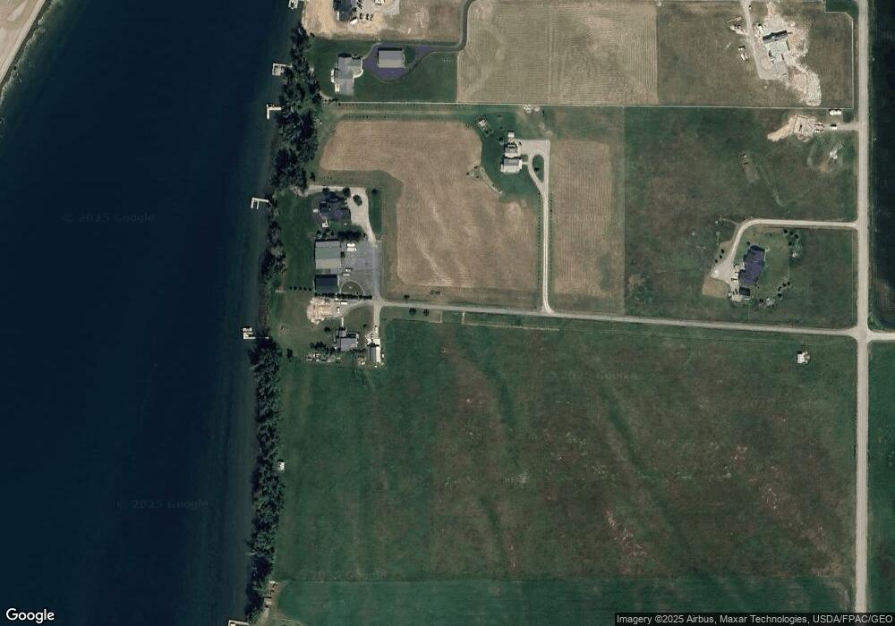
Map
Nearby Homes
- Nhn Yenne Point Rd
- 14530 Yenne Point Rd
- 52 Hidden Dr
- 52 Hidden Harbor
- 15024 Yenne Point Rd
- 32960 Barberry Rd
- 32970 Ninebark Ln
- 32962 Ninebark Ln
- 15286 Woods Bay Point Rd
- 32651 Pine Meadow Dr
- 32679 Pine Meadow Dr
- 13962 Pine St
- 33676 Hilltop Terrace
- 13390 Mt Highway 35
- 181 Sylvan Dr
- 17431 Fishing Rock Ln
- 604 Ranch Rd
- 616 Ranch Rd
- 551 Ranch Rd
- 175B Eagle Bend Dr
- 127B Rivershore Ln
- 139 Rivershore Ln
- 0 Mt Hwy 35 Unit 297374
- 0 Mt Hwy 35 Unit 303654
- 26328 Lake Shore Dr
- 14980 Mt Highway 35
- NHN Linden Ln
- 32785 Linden Ln
- 32848 Rockytop Dr
- 26400 E Shore Route
- 14531 Shore Acres Dr
- 14942 Mt Highway 35
- 15092 Montana Highway 35
- 14942 Mt-35
- 15092 Mt Highway 35
- 23205 E Shore Route
- 3 Shore Acres Dr
- 23219 E Shore Route
- 32880 Driftwood Ln
- 32774 Rocky Top Dr
Your Personal Tour Guide
Ask me questions while you tour the home.