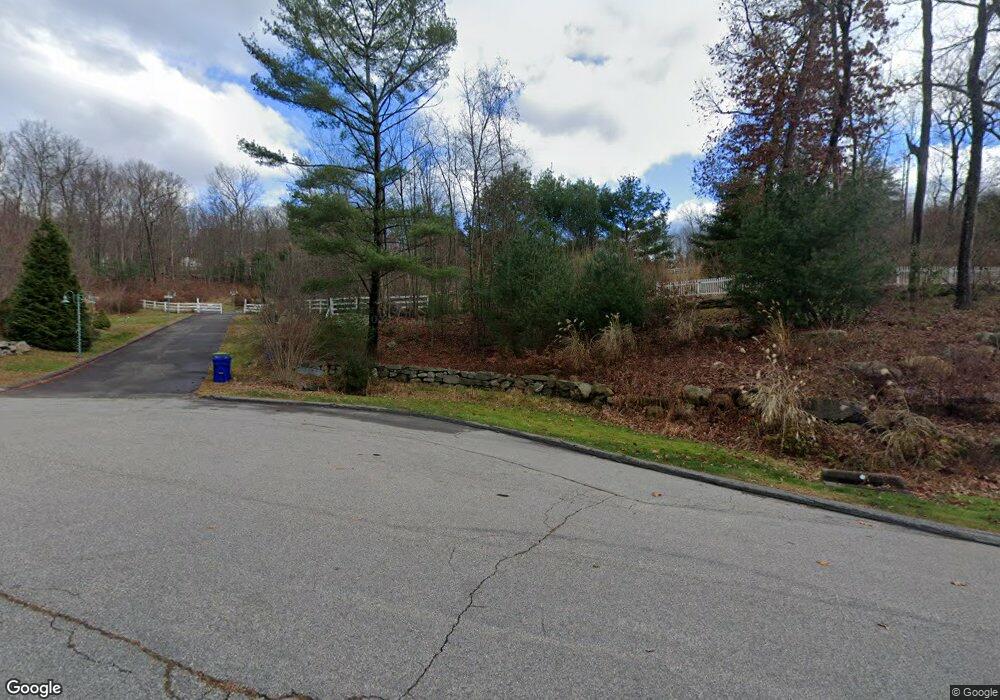
139 Slater Rd Glastonbury, CT 06033
Minnechaug NeighborhoodEstimated Value: $612,000 - $998,000
3
Beds
4
Baths
3,482
Sq Ft
$251/Sq Ft
Est. Value
About This Home
This home is located at 139 Slater Rd, Glastonbury, CT 06033 and is currently estimated at $873,722, approximately $250 per square foot. 139 Slater Rd is a home located in Hartford County with nearby schools including Eastbury School, Gideon Welles School, and Smith Middle School.
Ownership History
Date
Name
Owned For
Owner Type
Purchase Details
Closed on
Apr 10, 2001
Sold by
Brookview Dev Co Inc
Bought by
Farley Michael A
Current Estimated Value
Home Financials for this Owner
Home Financials are based on the most recent Mortgage that was taken out on this home.
Original Mortgage
$200,000
Interest Rate
7%
Purchase Details
Closed on
May 31, 1995
Sold by
Roberts Sean L
Bought by
Pietrycha Frank J and Pietrycha Rachel J
Create a Home Valuation Report for This Property
The Home Valuation Report is an in-depth analysis detailing your home's value as well as a comparison with similar homes in the area
Home Values in the Area
Average Home Value in this Area
Purchase History
| Date | Buyer | Sale Price | Title Company |
|---|---|---|---|
| Farley Michael A | $350,000 | -- | |
| Brookview Dev Co Inc | $200,000 | -- | |
| Pietrycha Frank J | $107,500 | -- |
Source: Public Records
Mortgage History
| Date | Status | Borrower | Loan Amount |
|---|---|---|---|
| Closed | Pietrycha Frank J | $300,000 | |
| Closed | Pietrycha Frank J | $200,000 |
Source: Public Records
Tax History Compared to Growth
Tax History
| Year | Tax Paid | Tax Assessment Tax Assessment Total Assessment is a certain percentage of the fair market value that is determined by local assessors to be the total taxable value of land and additions on the property. | Land | Improvement |
|---|---|---|---|---|
| 2025 | $19,823 | $603,800 | $120,200 | $483,600 |
| 2024 | $19,279 | $603,800 | $120,200 | $483,600 |
| 2023 | $18,724 | $603,800 | $120,200 | $483,600 |
| 2022 | $18,094 | $485,100 | $100,500 | $384,600 |
| 2021 | $18,104 | $485,100 | $100,500 | $384,600 |
| 2020 | $17,900 | $485,100 | $100,500 | $384,600 |
| 2019 | $17,638 | $485,100 | $100,500 | $384,600 |
| 2018 | $17,464 | $485,100 | $100,500 | $384,600 |
| 2017 | $18,807 | $502,200 | $117,300 | $384,900 |
| 2016 | $18,280 | $502,200 | $117,300 | $384,900 |
| 2015 | $18,129 | $502,200 | $117,300 | $384,900 |
| 2014 | $17,821 | $499,900 | $117,300 | $382,600 |
Source: Public Records
Map
Nearby Homes
- 509 Cedar Ridge Dr
- 0 Hebron Ave
- 366 Woodhaven Rd
- 394 Woodhaven Rd
- 60 Saddle Ridge Rd
- 92 Ash Swamp Rd
- 1925 Manchester Rd
- 2788 Hebron Ave
- 36 Sand Hill Ln
- 282 Mountain Rd
- 49 Millstone Rd
- 2085 Manchester Rd
- 160 Pond Cir
- 390 Ash Swamp Rd
- 47 Brookview Dr
- 6 Line St
- 96 Crosby Rd
- 76 Masters Way
- 97 Crosby Rd
- 45 Line St
- 192 Knollwood Dr
- 218 Knollwood Dr
- 180 Knollwood Dr
- 81 Church Hill Rd
- 202 Knollwood Dr
- 212 Knollwood Dr
- 164 Knollwood Dr
- 78 Slater Rd
- 66 Slater Rd
- 226 Knollwood Dr
- 216 Knollwood Dr
- 134 Knollwood Dr
- 75 Church Hill Rd
- 146 Knollwood Dr
- 56 Slater Rd
- 181 Knollwood Dr
- 191 Knollwood Dr
- 85 Slater Rd
- 169 Knollwood Dr
- 46 Slater Rd