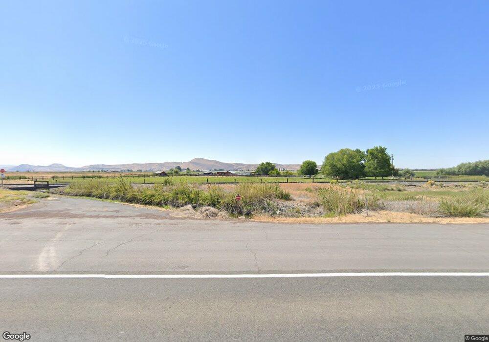
139 State Highway 139 Tulelake, CA 96134
Estimated Value: $142,000 - $180,194
3
Beds
2
Baths
1,296
Sq Ft
$124/Sq Ft
Est. Value
About This Home
This home is located at 139 State Highway 139, Tulelake, CA 96134 and is currently estimated at $161,097, approximately $124 per square foot. 139 State Highway 139 is a home with nearby schools including Tulelake Basin Elementary School and Tulelake High School.
Ownership History
Date
Name
Owned For
Owner Type
Purchase Details
Closed on
Aug 14, 2009
Sold by
Meyer Jeffrey Scoff
Bought by
Meyer Tiffany Suzanne
Current Estimated Value
Purchase Details
Closed on
Sep 16, 2005
Sold by
Dunlea Karen Sue Booth
Bought by
Dunlea Karen Sue Booth and Dunlea Bert
Purchase Details
Closed on
Jul 7, 2004
Sold by
Howery Charlene Laveta
Bought by
Dunlea Karen Sue Booth
Purchase Details
Closed on
Sep 10, 2001
Sold by
Howery Charlie L and Howery Charlene L
Bought by
Howery Charlie L and Howery Charlene L
Create a Home Valuation Report for This Property
The Home Valuation Report is an in-depth analysis detailing your home's value as well as a comparison with similar homes in the area
Home Values in the Area
Average Home Value in this Area
Purchase History
| Date | Buyer | Sale Price | Title Company |
|---|---|---|---|
| Meyer Tiffany Suzanne | -- | None Available | |
| Meyer Tiffany Suzanne | -- | None Available | |
| Dunlea Karen Sue Booth | -- | -- | |
| Dunlea Karen Sue Booth | -- | -- | |
| Howery Charlie L | -- | -- |
Source: Public Records
Tax History Compared to Growth
Tax History
| Year | Tax Paid | Tax Assessment Tax Assessment Total Assessment is a certain percentage of the fair market value that is determined by local assessors to be the total taxable value of land and additions on the property. | Land | Improvement |
|---|---|---|---|---|
| 2025 | $752 | $65,746 | $12,993 | $52,753 |
| 2023 | $752 | $63,195 | $12,490 | $50,705 |
| 2022 | $726 | $61,957 | $12,246 | $49,711 |
| 2021 | $714 | $60,743 | $12,006 | $48,737 |
| 2020 | $709 | $60,121 | $11,883 | $48,238 |
| 2019 | $697 | $58,943 | $11,650 | $47,293 |
| 2018 | $685 | $57,788 | $11,422 | $46,366 |
| 2017 | $674 | $56,656 | $11,199 | $45,457 |
| 2016 | $662 | $55,546 | $10,980 | $44,566 |
| 2015 | -- | $54,713 | $10,816 | $43,897 |
| 2014 | -- | $53,643 | $10,605 | $43,038 |
Source: Public Records
Map
Nearby Homes
- 22990 Highway 50
- 127 Siskiyou St
- 332 First St
- 563 4th St Unit A
- 725 Modoc Ave
- 0 Dodds Hollow Rd Unit 895073 220200218
- 18610 Taylor Rd
- 330 N Elm St Unit Parcel 2
- 638 E 1st St
- 217 N Washington St
- 0 Oregon 39 Unit 1100
- 0 Oregon 39 Unit Lot 2 220203560
- 0 Oregon 39 Unit 220168688
- 226 W 2nd St
- 425 W 1st St
- 424 N Garfield St
- 2130 E-Z St
- 2108 Rosicky Ave
- 2236 3rd St
- 0 Harpold Rd Unit 627398 220197026
