139 Swallow Point Rd Moultonborough, NH 03254
Estimated Value: $2,306,000 - $3,298,000
3
Beds
3
Baths
4,728
Sq Ft
$627/Sq Ft
Est. Value
About This Home
This home is located at 139 Swallow Point Rd, Moultonborough, NH 03254 and is currently estimated at $2,964,747, approximately $627 per square foot. 139 Swallow Point Rd is a home with nearby schools including Moultonborough Central School and Moultonborough Academy High School.
Ownership History
Date
Name
Owned For
Owner Type
Purchase Details
Closed on
Jul 30, 2024
Sold by
Debie Julie B and Debie Mike F
Bought by
Bezoet De-Bie Ft and Debie
Current Estimated Value
Purchase Details
Closed on
Jul 2, 2015
Sold by
Talbot Nancy H
Bought by
Bezoet-Debie Julie and Bezoet-De-Bie Mike F
Home Financials for this Owner
Home Financials are based on the most recent Mortgage that was taken out on this home.
Original Mortgage
$449,500
Interest Rate
3.83%
Mortgage Type
Purchase Money Mortgage
Create a Home Valuation Report for This Property
The Home Valuation Report is an in-depth analysis detailing your home's value as well as a comparison with similar homes in the area
Home Values in the Area
Average Home Value in this Area
Purchase History
| Date | Buyer | Sale Price | Title Company |
|---|---|---|---|
| Bezoet De-Bie Ft | -- | None Available | |
| Bezoet De-Bie Ft | -- | None Available | |
| Bezoet-Debie Julie | $674,533 | -- | |
| Bezoet-Debie Julie | $674,533 | -- |
Source: Public Records
Mortgage History
| Date | Status | Borrower | Loan Amount |
|---|---|---|---|
| Previous Owner | Bezoet-Debie Julie | $449,500 |
Source: Public Records
Tax History Compared to Growth
Tax History
| Year | Tax Paid | Tax Assessment Tax Assessment Total Assessment is a certain percentage of the fair market value that is determined by local assessors to be the total taxable value of land and additions on the property. | Land | Improvement |
|---|---|---|---|---|
| 2024 | $12,697 | $2,247,200 | $1,457,800 | $789,400 |
| 2023 | $11,710 | $2,054,400 | $1,301,700 | $752,700 |
| 2022 | $8,688 | $1,817,500 | $1,131,900 | $685,600 |
| 2021 | $6,803 | $974,600 | $865,700 | $108,900 |
| 2020 | $6,286 | $881,600 | $779,100 | $102,500 |
| 2019 | $6,118 | $855,600 | $757,200 | $98,400 |
| 2018 | $5,760 | $746,100 | $649,000 | $97,100 |
| 2017 | $6,019 | $732,200 | $633,200 | $99,000 |
| 2016 | $6,152 | $703,900 | $612,100 | $91,800 |
| 2015 | $6,365 | $706,400 | $612,100 | $94,300 |
| 2014 | $6,259 | $706,400 | $612,100 | $94,300 |
| 2013 | $7,430 | $855,000 | $765,100 | $89,900 |
Source: Public Records
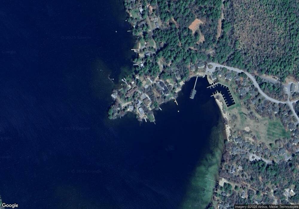
Map
Nearby Homes
- 29 Kona Farm Rd
- 203 Krainewood Dr
- 30 Leopards Leap
- 22 Tiger Trail
- 33 Blackadar Ln
- 320 Redding Ln
- 5 Ferry Rd
- 122 Toltec Point Rd
- 4 Schneider Rd
- 1 Little Beaver Island
- 21 Orton Ln
- 244 Wentworth Shores Rd
- 11 Geery Ln
- 31 Rays Way
- 2 Little Badger Island
- 525 Whittier Hwy
- 38 Lake Shore Dr Unit 12
- 38 Lake Shore Dr Unit 10
- 28 Moose Walk
- 41 Saint Gallen St
- 131 Swallow Point Rd
- 141 Swallow Point Rd
- 140 Swallow Point Rd
- 144 Swallow Point Rd
- 127 Swallow Point Rd
- 138 Swallow Point Rd
- 143 Swallow Point Rd
- 121 Swallow Point Rd
- 145 Swallow Point Rd
- 3 Sunset Ln
- 119 Swallow Point Rd
- 5 Sunset Ln
- 125 Swallow Point Rd (Aka 5 Sunset Lane)
- 7 Sunset Ln
- 64 Sunset Ln
- 6 Sunset Ln
- 3 Windward Way
- 23 Sunset Ln
- 4 Windward Way
- 25 Sunset Ln